
The highpoint (literally) of the Carneddau Traverse – Carnedd Llewelyn, 1064 metres (3490 ft)
The mountains of the Carneddau make up the largest land mass higher than 750 metres (about 2500ft) south of the Scottish border, and a crossing of the plateau in one trip makes for a big day out! It’s also a route that deserves the tag ‘Classic’. I had been putting this walk off for a couple of years, but the recent prolonged spell of good weather had removed the last excuse. The first problem, however, was getting there ….

The Carneddau Traverse – 28 kms with 1544 metres height gain (18 miles with 5065 ft). A good day out!
It must be said that the logistics for the trip are a pain. The two car solution is possibly the easiest answer, but collecting the spare car at the end of the day would be a bit of a bind, and would delay the celebratory pint. As it was, my mate John wasn’t available on the day, so it was Plan B, a solo crossing using public transport. When I first worked out the timings I was looking at a June-August trip, but the sudden decision to ‘go for it’ in September revealed an unexpected problem – there are less buses to choose from once ‘Summer’ is officially over!
First one of the day – Pen yr Ole Wen, 978 metres (3208 ft)
I left the car at Conwy, and started the two-bus journey to the start point at Ogwen. After looking at all the options, the earliest time I could get on the hill was about 1230, with 28 kms (18 miles) and 1544 metres (5065 ft) of height gain ahead. My estimated time to complete was 9½ hours, and with sunset timed at 1930 it didn’t take a mathematician to work out that I would have a couple of hours in the dark at the end of the day – better check I’ve got the spare head-torch batteries then.

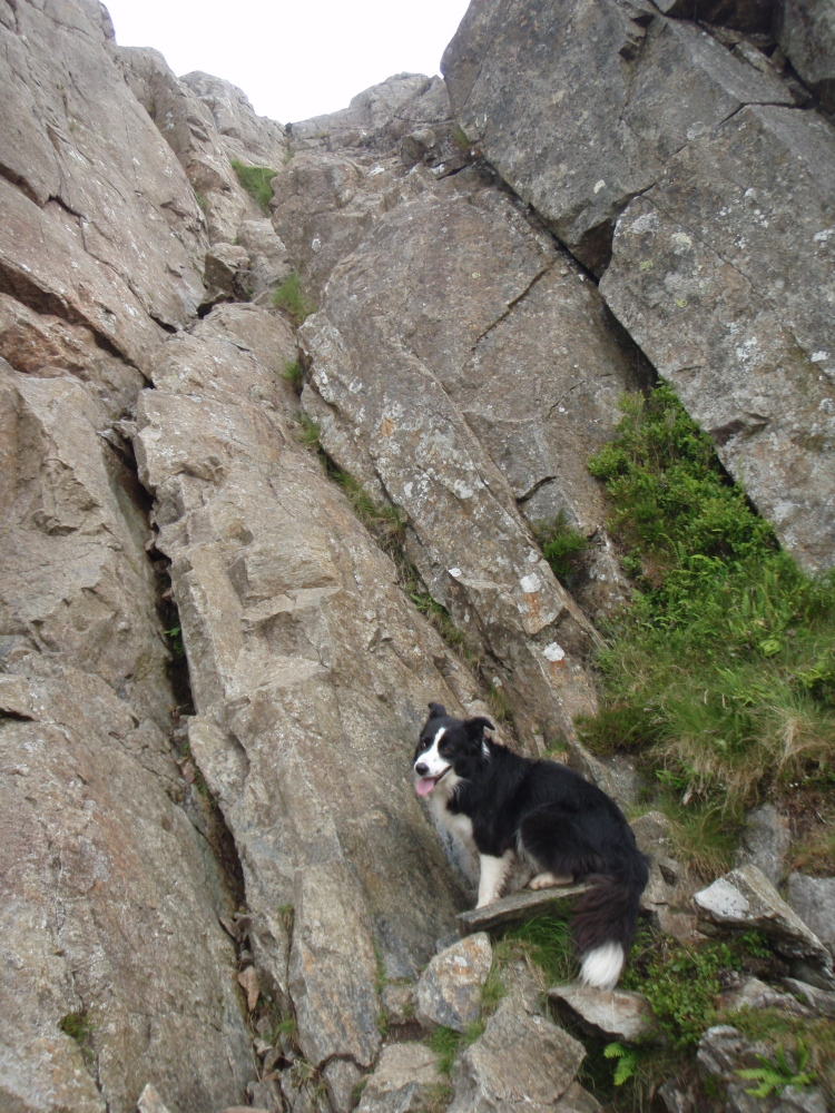
Rock section on the East Ridge
“Oh no, not this again!”

Looking down on the rock section (April 2011)
The first mountain of the day was Pen yr Ole Wen. I had aimed at a lightweight crossing, but it’s surprising how the grams start to add up. I kept the water down to 2 litres, not enough for the whole trip, but enough to get me to a known water source just after Tal y Fan – a ‘Steripen’ and a ‘Nalgene’ bottle didn’t weigh much, and would enable me to purify enough water to finish, but water for the dog was a different matter. I also carried a short rope and harness to protect ‘Mist’ on a short rock section on the ascent of the East Ridge of Pen yr Ole Wen.
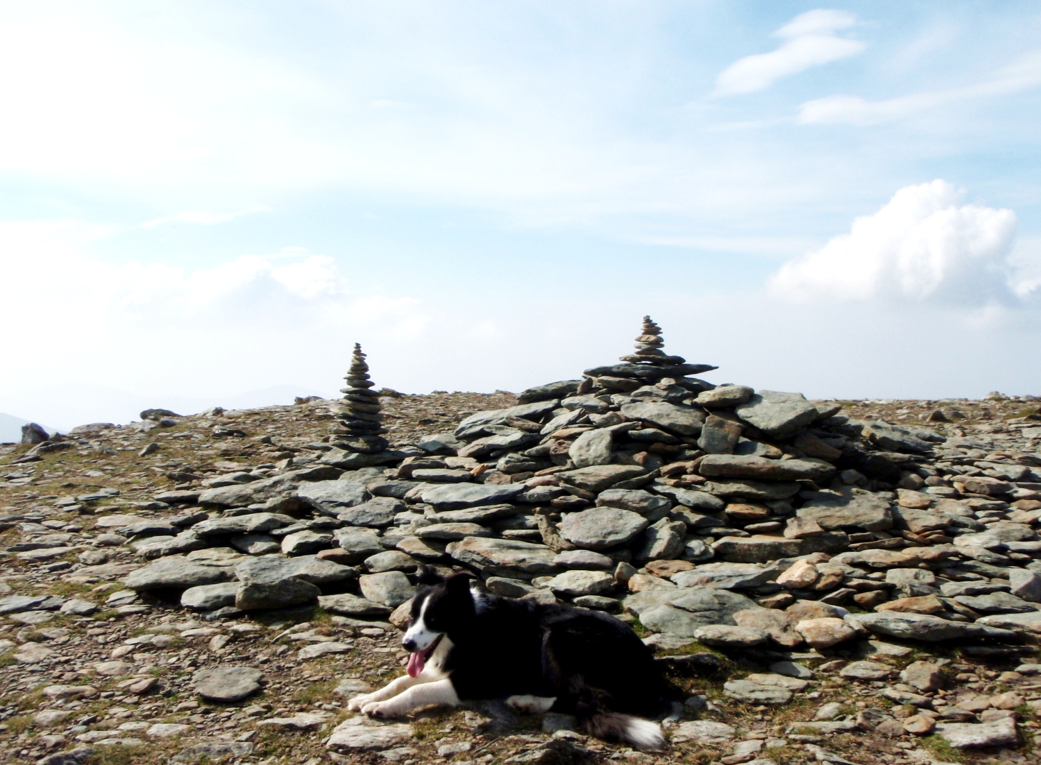
Someone had been having a good time making fun cairns on the summit of Pen yr Ole Wen
Last time we came this way, ‘Mist’ had struggled a bit getting up the rock obstacle – I can now report that her rock climbing standard has gone up by at least a grade, and at one point the dog overtook me, making this her first lead on a rock route! I used the safety equipment for less than five minutes, including fitting, and having used it I then carried it all the way to Conwy – this is how a lightweight pack creeps up to 10 kgs (22 lbs)! Despite this, we arrived on the summit of Pen yr Ole Wen about 15 minutes ahead of our estimate.
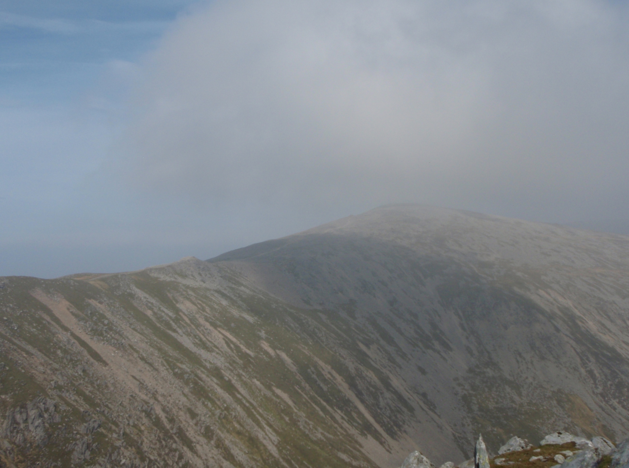
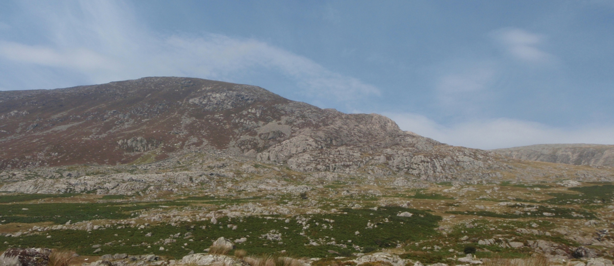
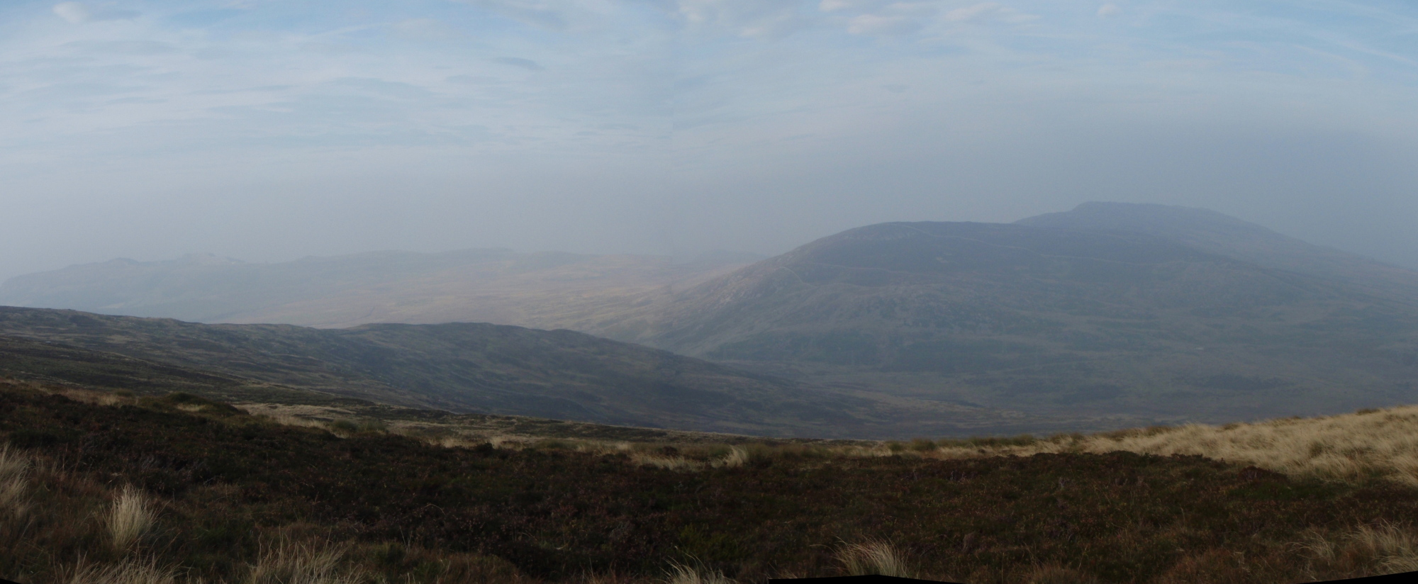
Carnedd Dafydd hiding in the haze

How it looks on a good day (April 2011)
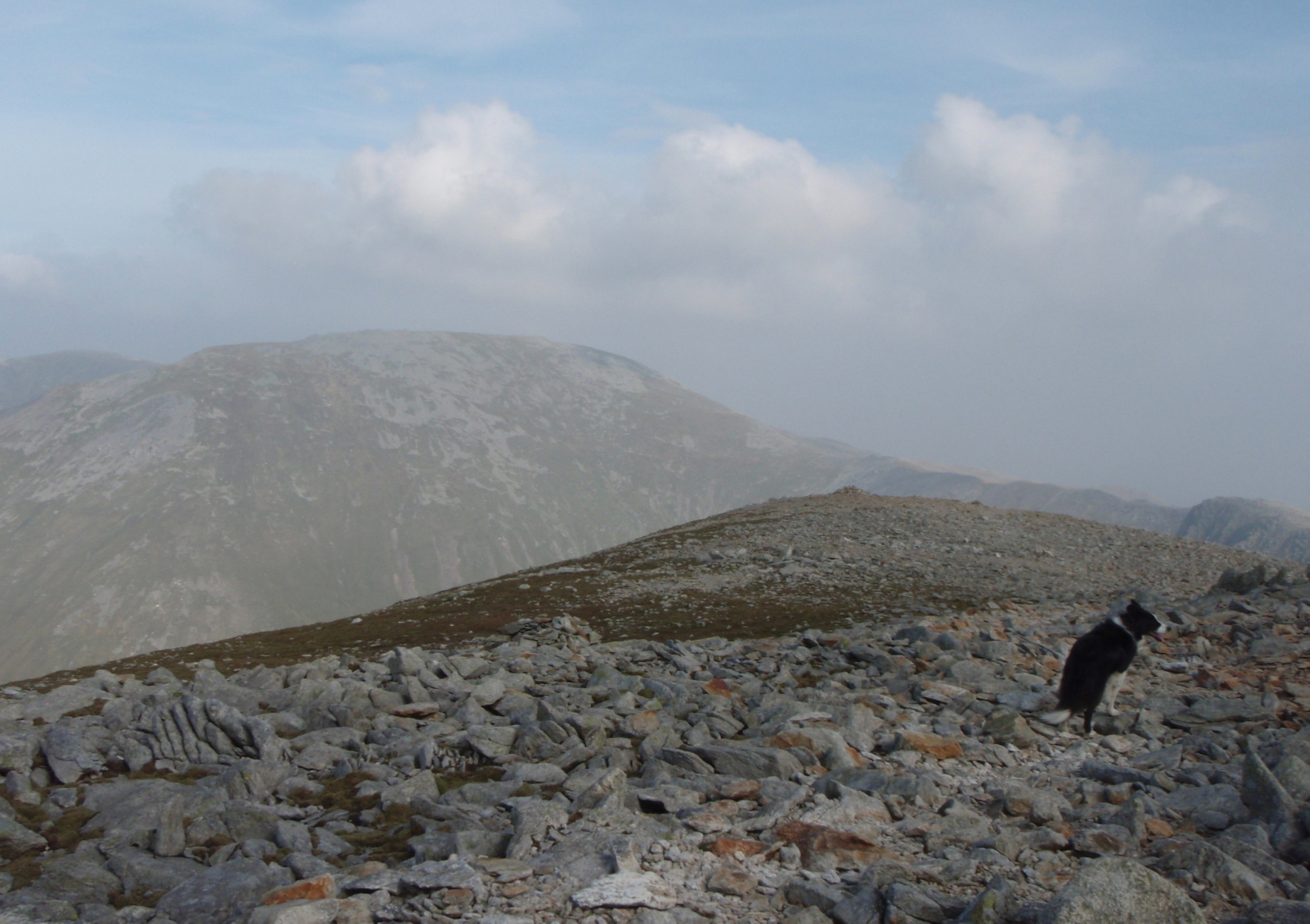
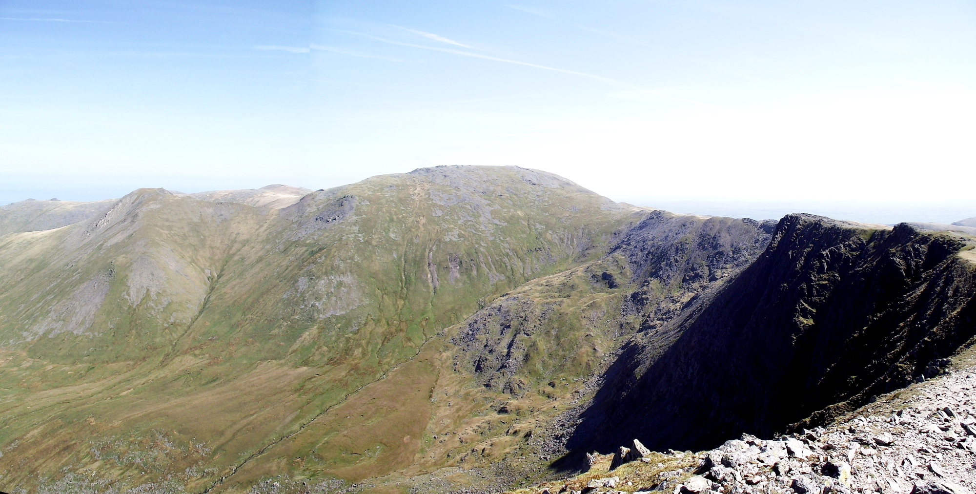
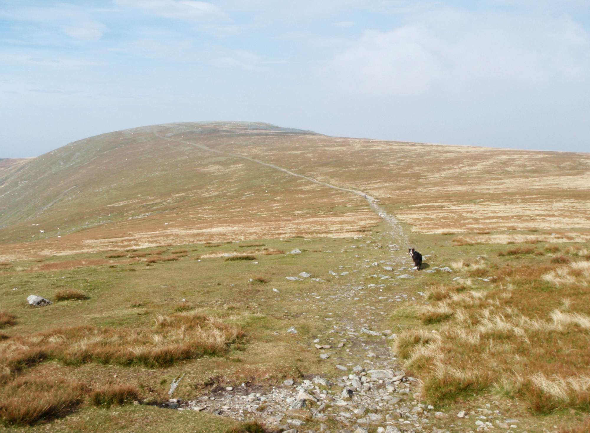
Heading for Carnedd Llewelyn
The next summit lurking in the haze was Carnedd Dafydd at 1044 metres (3425 ft). On the way we picked up another spare five minutes, and I started to consider if I was perhaps going a bit too fast – the pace felt good though, so it was on towards Carnedd Llewelyn. The ridge joining the two peaks is usually good for water if you know where to look, and ‘Mist’ seems to prefer water that I wouldn’t touch with a bargepole! A slight diversion cost five minutes, but gave the dog a chance for a good drink, meaning that I wouldn’t have to give her too much of my precious two litres.
Leaving the summit of Carnedd Llewelyn with Foel Grach ahead

The stone shelter on Foel Grach
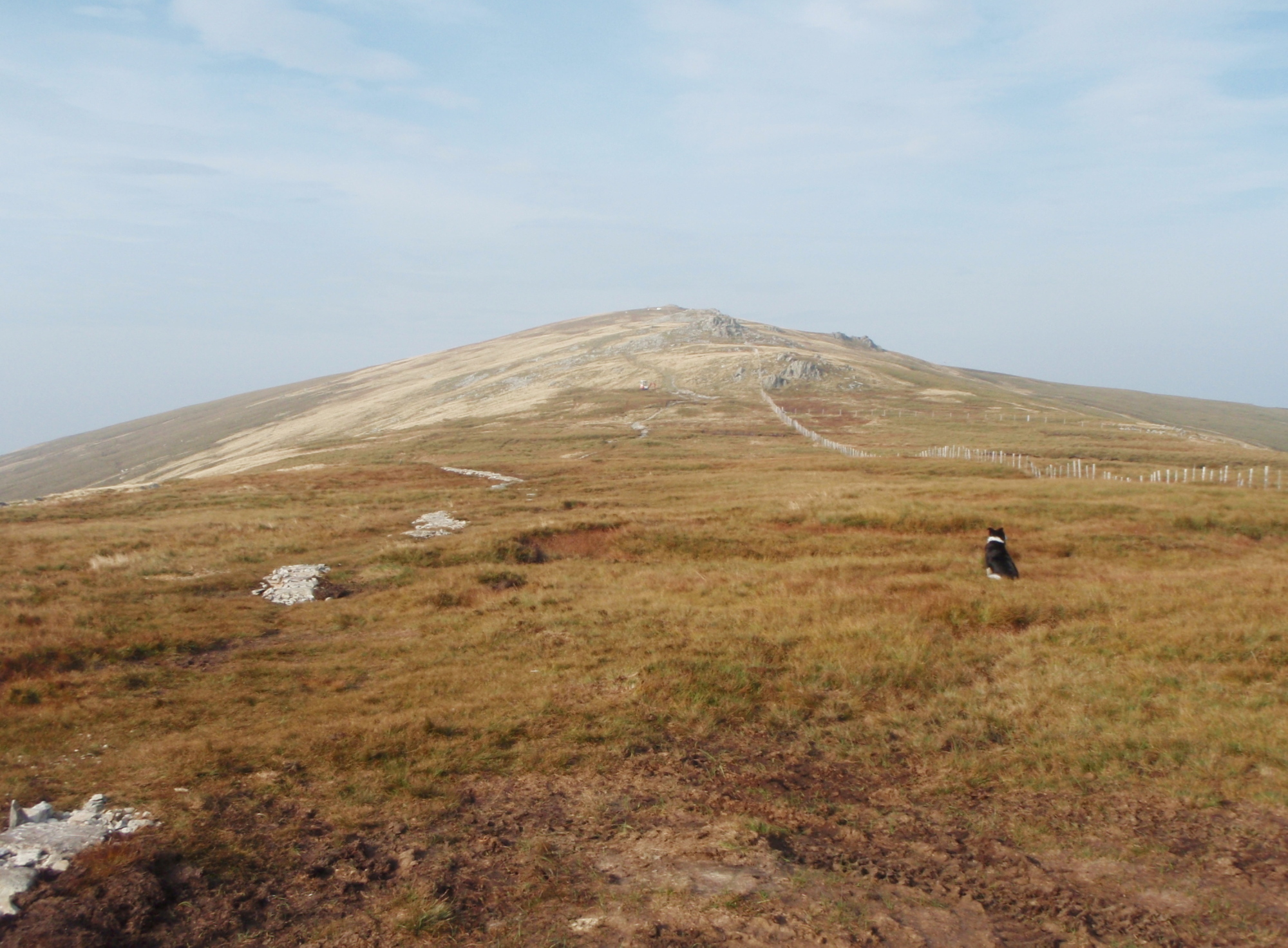
Carnedd Gwenllian (left) and Foel Fras seen from Foel Grach
The summit of Carnedd Llewelyn marked the end of the first of three sections. The first section had included the greater part of the height gain for the day and the two highest summits, and the next section was to be an undulating wide ridge, with a more modest total height gain. On Foel Grach I cashed in fifteen minutes of the time I had gained for a bite to eat and some coffee – using the small stone refuge just below the summit meant that I didn’t have to faff about putting on a warm layer during the break. Then it was onwards again.
Carnedd Gwenllian ahead ….

…. with a dry, stony summit
I had given ‘Mist’ some of my water at Foel Grach. Two weeks earlier we had found water at the col between Foel Grach and Carnedd Gwenllian, but this time all was dry. I had anticipated this, and the plan was to go slightly ‘off-piste’ on Carnedd Gwenllian – the summit there is flat, dry and stony, but within a couple of hundred metres there are murky, peat-coloured pools of water, just the thing for a thirsty Border Collie.
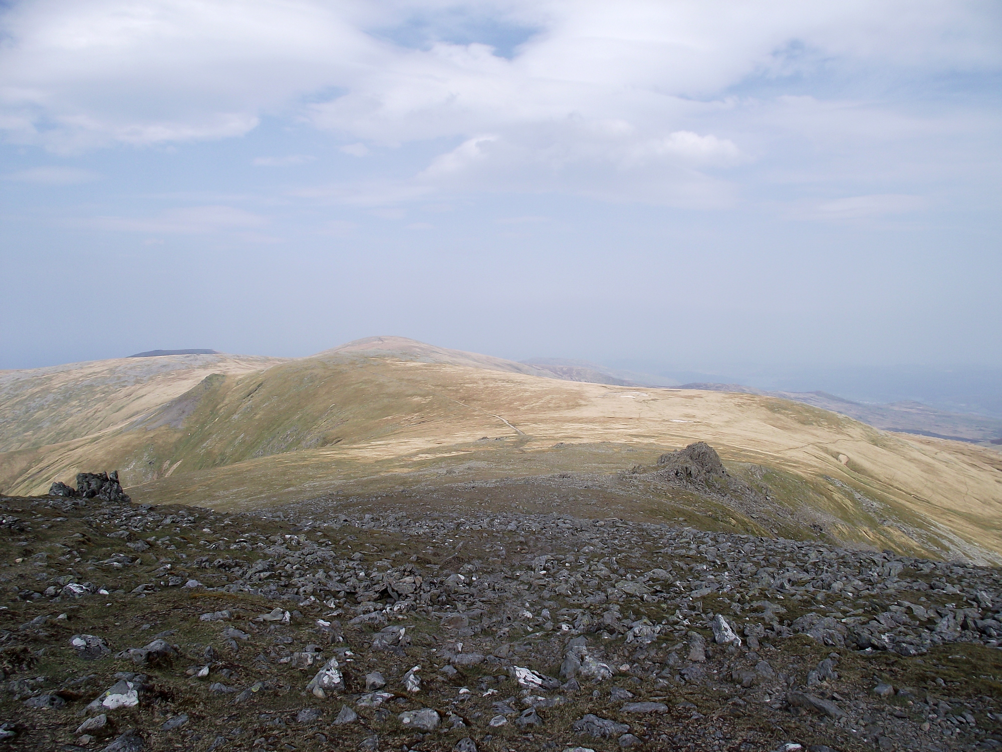
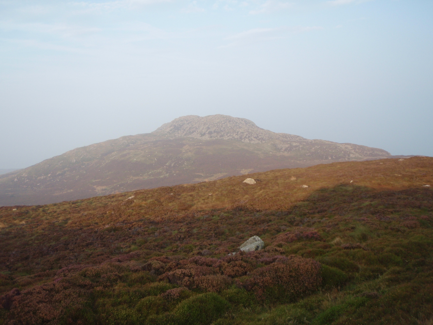
Drum (left) with Tal y Fan barely visible in the far distance (right)
The summit of Drum ahead ….

…. with a stone shelter at the summit
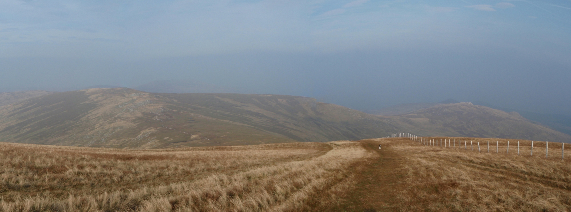
After Carnedd Gwenllian I set my sights on Foel Fras. The haze made an optical illusion, where the hill seemed to have a significant height gain – in reality the height gain was a mere 40 metres ascent over 1.5 km, which was never going to feel hard and in the event didn’t. From there it was mostly a long descent before another 40 metres height gain to the summit of Drum – I had started with no intention of trying for a fast crossing, but the long descent tempted me into a jog in places.
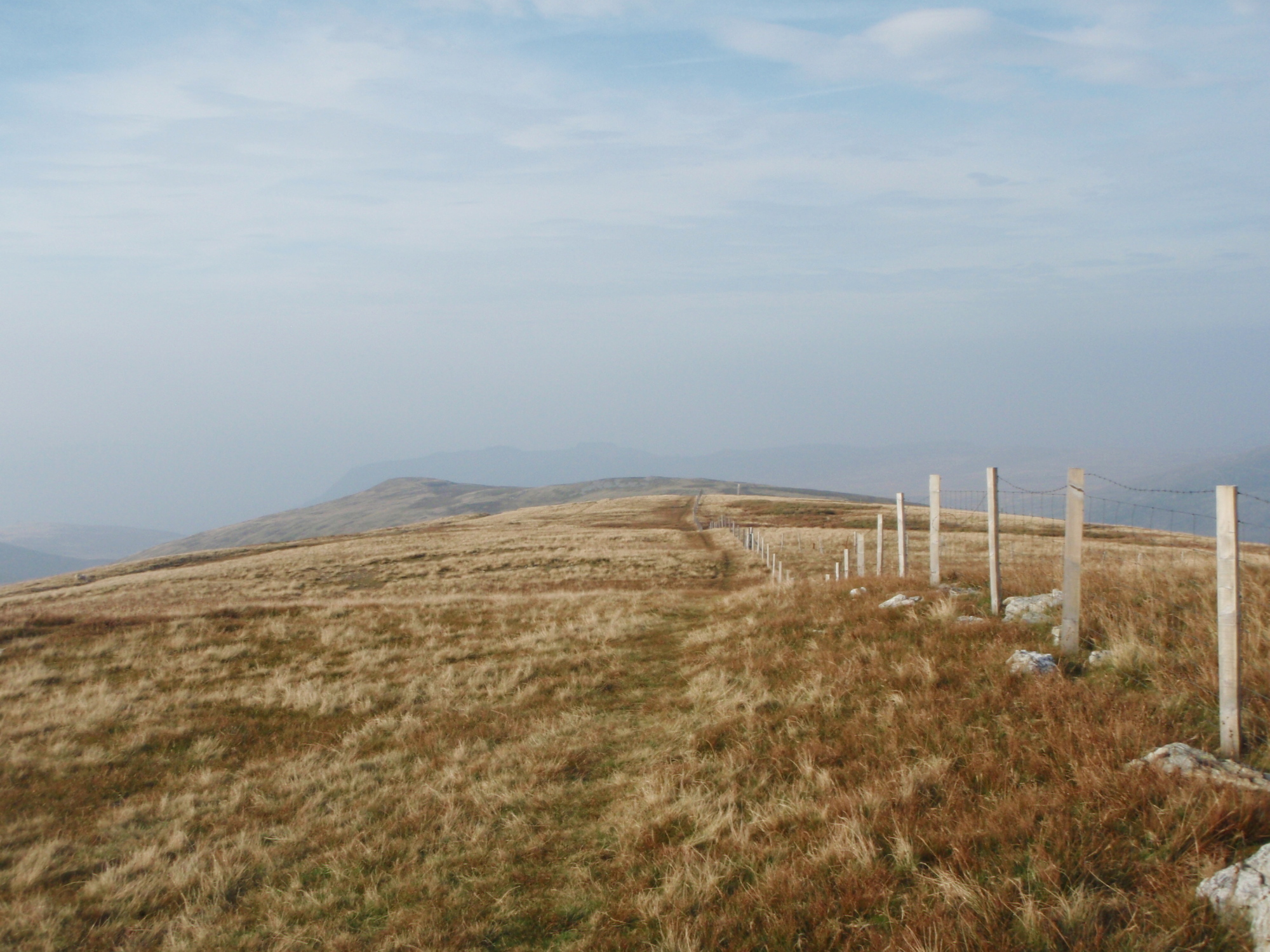
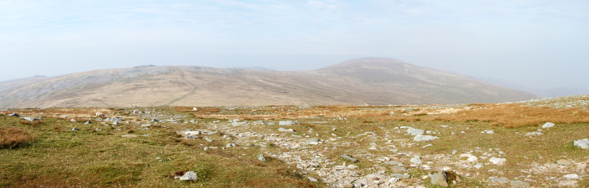
Heading north from the summit of Drum
Last hills of the day in the distance – Foel Lwyd (right of centre) and Tal y Fan (far right)
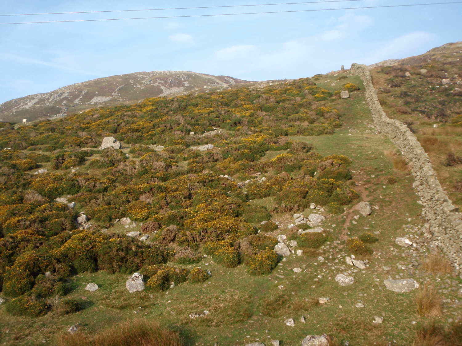
Drum is the last major summit on the plateau, and many take a left turn here to follow the pretty way to finish at Abergwyngregin. I was after a purer crossing though, and I headed instead for Tal y Fan, one of the outlying hills of the Carneddau. The only issue here was that I had to drop down to the old Roman Road (now the North Wales Path) losing over 300 metres in the process, before regaining over 200 metres of height to the summit of Tal y Fan via Foel Lwyd. At the Roman Road I decided that I had earned a ten minute break, so dog and I had a quick snack before starting on the last section of the trip.
Starting the last bit of ‘up’ – Foel Lwyd
Last summit – Tal y Fan ahead

Near the summit ….

…. but with the day drawing to a close, and still 10 kms to go
The route up Foel Lwyd from the Roman Road was possibly the steepest bit of the trip, but a slow, steady plod demolished the height gain. Tal y Fan came and went, and I raced the sun down to the standing stone at Maen Penddu where I knew I would find water – it came at just the right time, as my two litres was just about to run out. There didn’t seem to be much point in dashing off in the twilight then having to stop to go into night mode, so I had another 15 minute break here to finish off the coffee and to set up my headtorch.
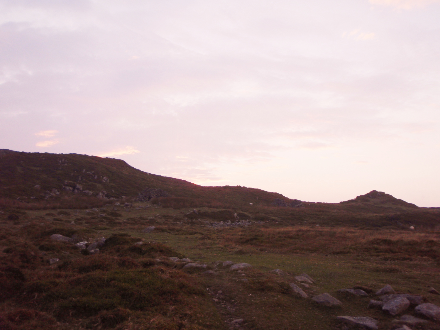
Near Maen Penddu, and night drawing in.
A mere 8 kms (5 miles) lay ahead, with a modest height gain of 120 metres – height loss was a more impressive 510 metres, which meant that this was virtually downhill all the way, and on good tracks. Being near to the end of the day there was no need to keep a bit of energy in reserve, so I fairly motored down to Conwy. The trip took 8¾ hours instead of the estimated 9½, though I wasn’t in a rush to finish and took several breaks on the way. The only negative aspect of the day was indifferent light for photography – perhaps I’ll have to wait for a cold, crisp, winter day with good lighting and do it all again!
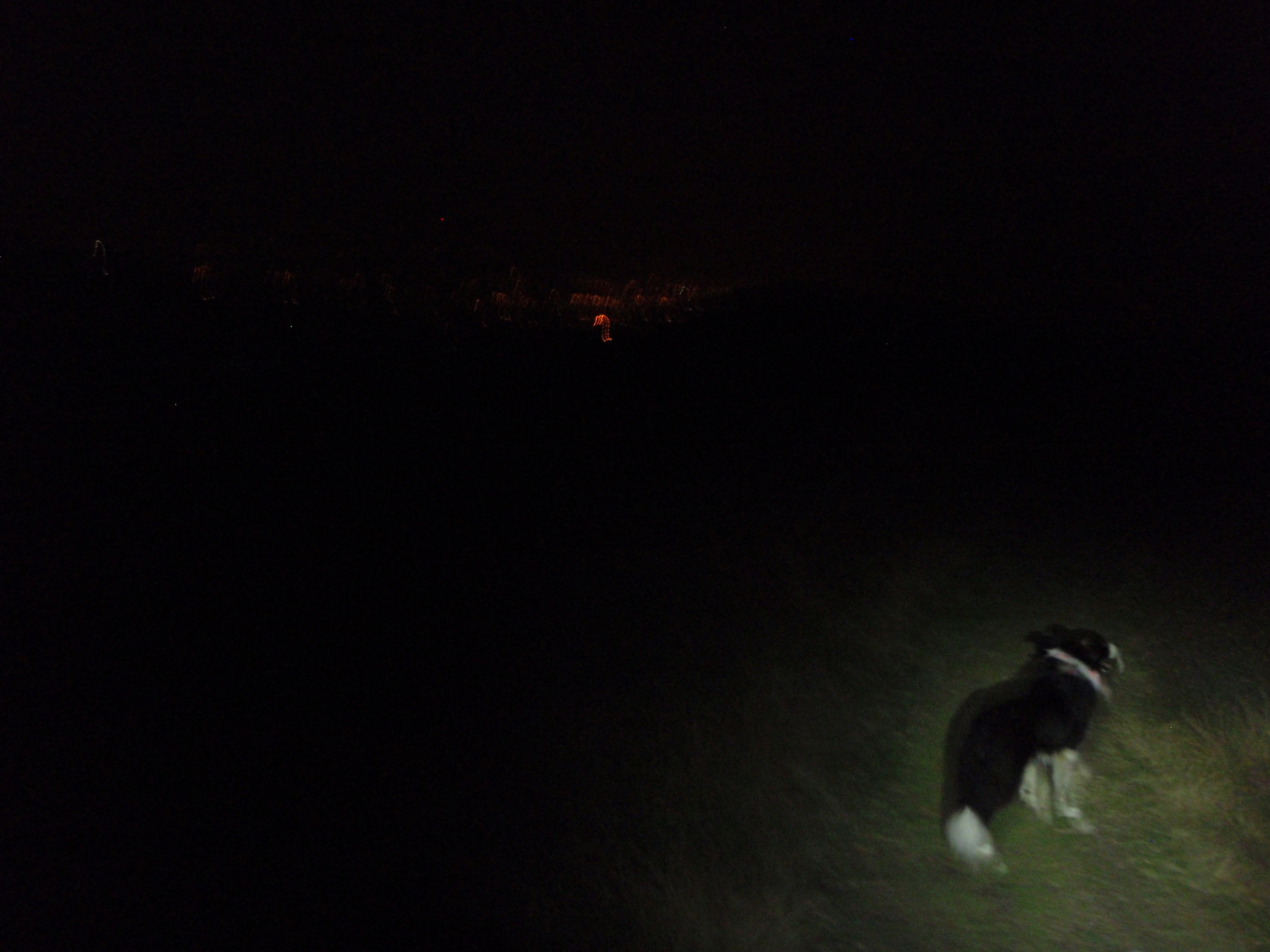
Heading for the finish with the lights of Conwy (just) visible
Text and images © Paul Shorrock


I’d have liked to have come with you on that one. I like to do routes via public transport anyway – gives me a virtuous feeling 😉
That rock scramble on the East Ridge of Penyrolauwen always looks really hard but I don’t remember ever having a problem. Your photos make me want to go back and have another look though – I’ve only ever descended it – not sure which is hardest?
I remember Tal-y-Fan as being superb for bilberries in the right season 🙂
I’ve never figured out the route past the waterfall for the Abergwyngregyn route personally – I’d like to have a go at it sometime though from there…
Carol.
LikeLike
That short scramble isn’t at all hard Carol – unless you’re a dog! I’ve done the same route in winter with snow on the route, and ‘Mist’ didn’t have a problem with her own natural crampons, but on bare rock she struggles to find grip.
LikeLike
I never had a problem with it either – but it looks hard in your photos.
LikeLike
Ahh…. that’s because I let the dog borrow the camera in those pics – she probably tilted it a bit to make it look harder 😉
LikeLike
Actually, I find tilting the camera makes it look easier – it kind of flattens things and makes then look less steep. I usually keep it as straight as possible and then it makes it look like I’ve been doing fearful and brave things! 😉
LikeLike
A great hike – definitely a classic! Have done this in various different sections but never all in one go – might be good to stay at one of the Ogwen campsites and hike out but would mean carrying more gear. Love the rock scramble on Pen yr ole Wen – always looks daunting from below but loads of holds. Great post!
LikeLike
Cheers Pete – yes, it was a really good day, certainly one to repeat!
LikeLike
Well done Paul and a quick time. I guess the route from Drum to Tal y Fan largely follows the line of the wall/fence shown on the map. After that, the 1:25000 map shows a lot of paths but I have often wondered how easy these are to navigate or ‘find’ knowing my experience on the south side of Snowdonia where so many of the paths on the map don’t actually exist on the ground any longer. A few years ago I found a way (after a number of false starts) from Bwlch y Sychnant down to the coast just west of Penman-bach point. It I ever did this route, that is always where I had fancied ending up. Transport is a real problem. I think I would plan to get the bus to Ogwen the day before and stay there with the aim of a very early start. Buses exist but linking them up to get to the start is the first obstacle!
LikeLike
Thanks for the comments Andy, though my time would have been quicker if I hadn’t been self indulgent with the breaks.
My tactic for the paths ‘post Tal y Fan’ was to go for anything on the map shown as a track rather than a path, on the basis that it might still be used by farmers – apart from a tussle with wired-up gates at Tyddyn Grasod, this plan was successful.
In retrospect, I’m glad that I had my mid-day start – I enjoy walking in the dark (Chris doesn’t!!) and the idea of racing against the sunset towards the end added an extra bit of spice to the trip.
LikeLike
I love this route and have walked it several times. Being a local that’s walks between Tal-y-Fan and Conwy on a regular basis, the best route I’ve found from Tal-y-Fan to Conwy is to drop down through the quarry, then take the highest line over Cefn Maen Amor and Cefn Llechen to Llyn Y Wrach, then up over Maen Esgob to sychnant pass and over the top of Conwy Mountain to finish. It basically means you follow the top of the ridge along the whole route from start to finish, don’t worry about the lack of paths on the map for my suggested route, they do exist on the ground though!
LikeLike
Sounds great Mark – I’ll be going back that way again and again, so I’ll check out your ridgeline finish.
LikeLike
“water that I wouldn’t touch with a bargepole!” – I hope you weren’t carrying one of those as well as everything else Paul. Sounds like an epic – and isn’t it nice when a long planned trip works out just as good, or even better than you hoped for. That hazy pink sunset makes for a lovely photo.
LikeLike
It was a really nice trip though the photographs were a bit disappointing. I did my best to catch the sunset, and it didn’t come out too badly – you should have seen the real thing though 😉
LikeLike
Pingback: #171 – Visiting the neighbours – Ogwen Valley Mountain Rescue Organisation | Paul Shorrock – One Man's Mountains AKA One Pillock's Hillocks
Pingback: #244 – Llyn Cowlyd in the East Carneddau | Paul Shorrock – One Man's Mountains AKA One Pillock's Hillocks
I did this with a mate a couple of weeks ago, stinking hot and no water on the route (it has been a very hot & dry summer) … good thing we had plenty.
We included Yr Elen which proably added 45 mins and it took 9.5 hrs … so a similar pace.
The descent to Sychnant pass requires a bit of off-piste but (as another comment says) it is really just a case of following your nose towards Conwy mountain.
All in all a very good day out. Chapeau for doing it by public transport
LikeLiked by 1 person
Well, hats off to you for doing it in the heatwave AND for including yr Elen. I’m coming to the view that I need to do this again.
LikeLike
It is very good. Your blog was a good read to highlight issues we might encounter.
And yes, I should have taken a hat. It was very hot!
LikeLike
Pingback: #268 – Conwy Mountain and beyond | Paul Shorrock – One Man's Mountains AKA One Pillock's Hillocks
Pingback: #324 – One last dog walk – a wander in the mountains of the Southern Carneddau | Paul Shorrock – One Man's Mountains AKA One Pillock's Hillocks
Loved reading thiss thank you
LikeLike
Thanks reading and thanks for the comment 🙂
LikeLike