

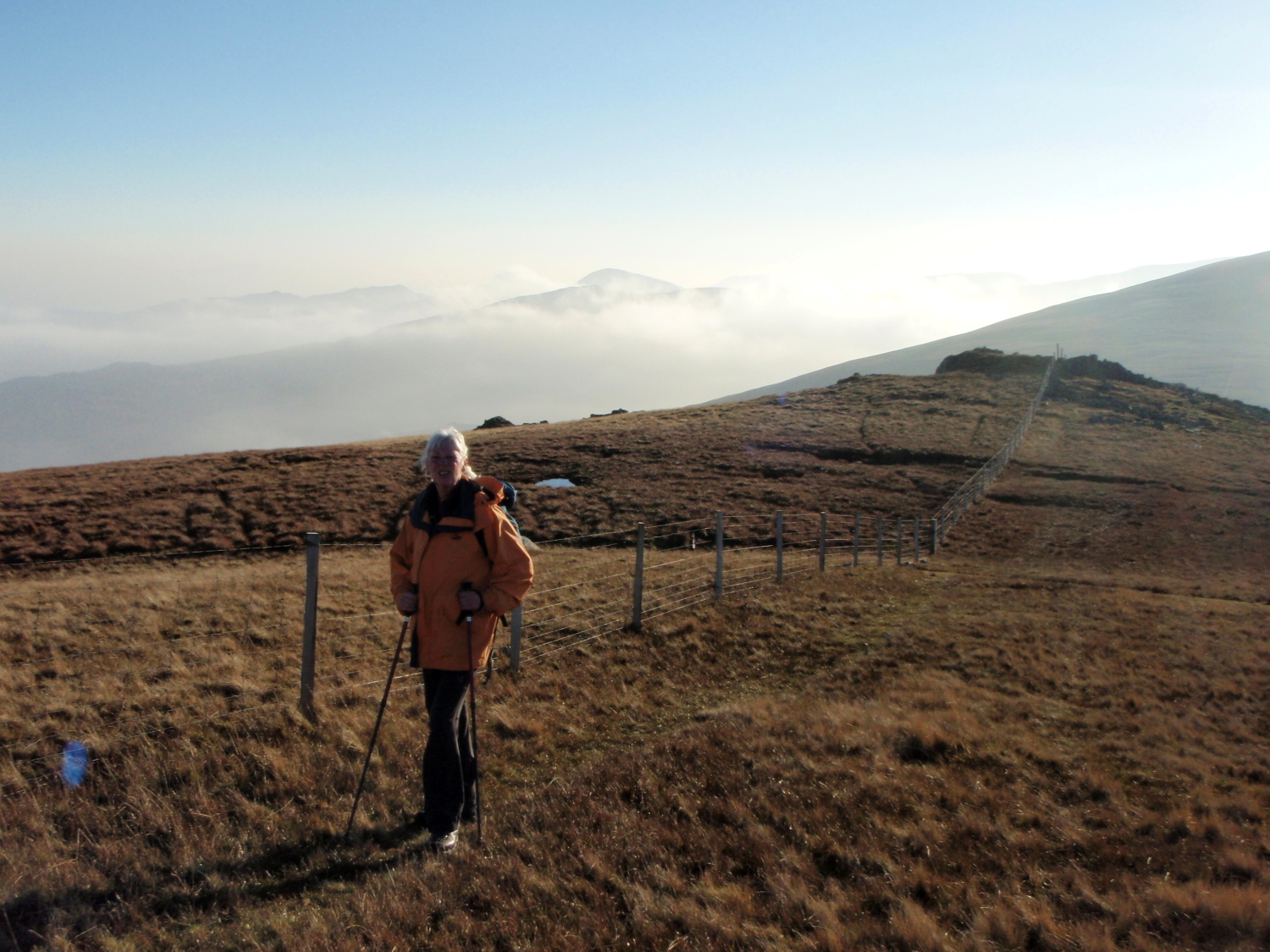
On the west slopes of Drum, in the Carneddau
 After the recent cold spell and storm force winds it’s difficult to remember that autumn in the UK was one long extended summer (OK, I exaggerate just a little!). It was late November when we decided on a Carneddau day – it wasn’t going to be too long, as Chris doesn’t much like walking in the dark, and if the weather wasn’t autumnal then the hours of daylight were.
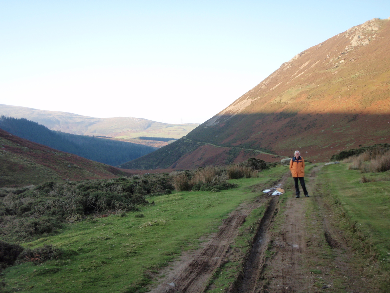
The start of the track to the lake of Llyn Anafon
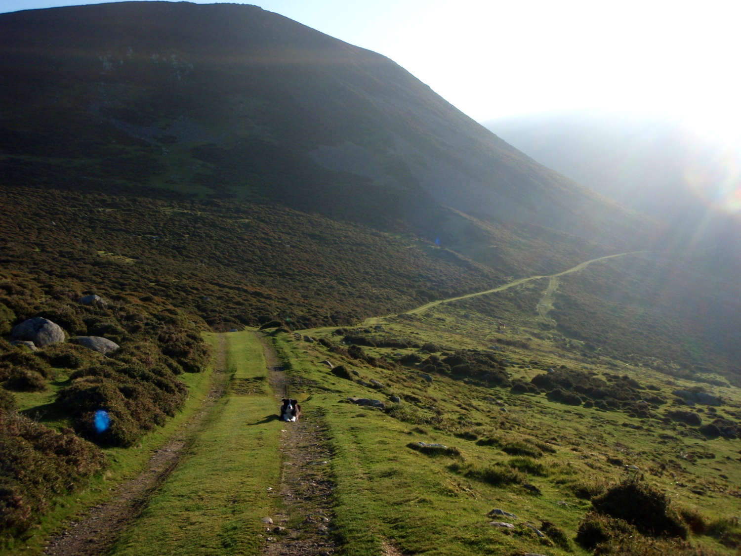
Checking out the locals – wild Carneddau ponies
Further along the track above the river ….
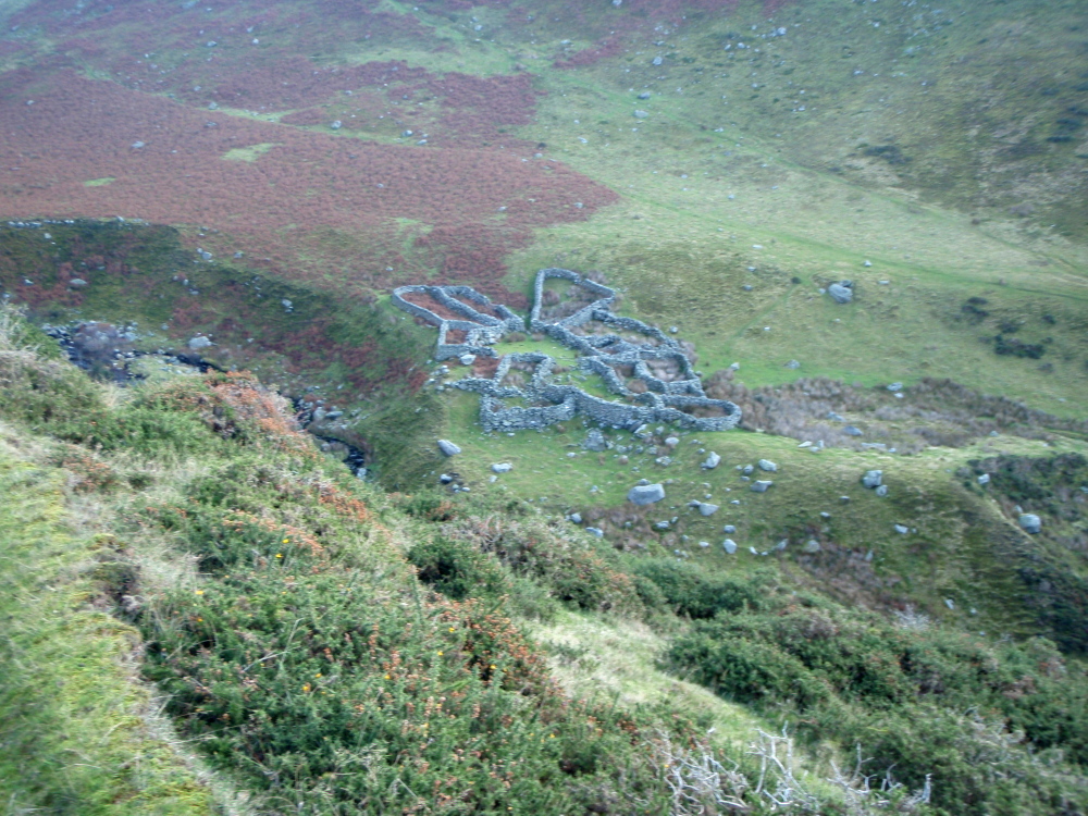
…. with an old sheep fold below
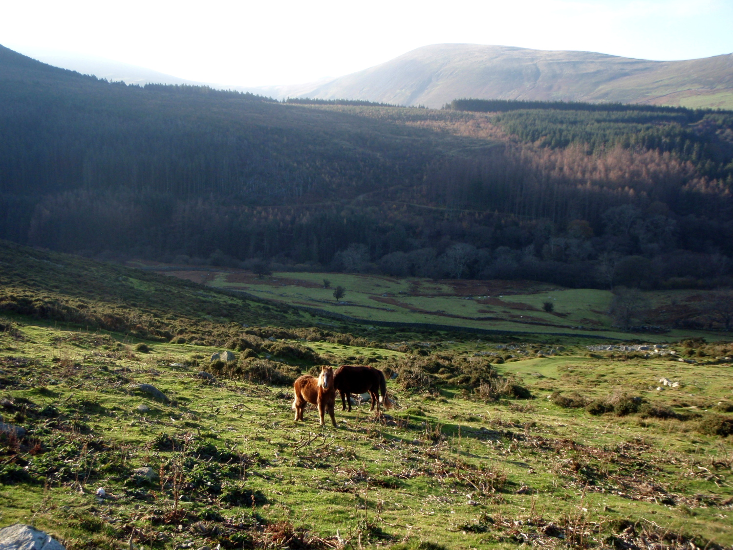
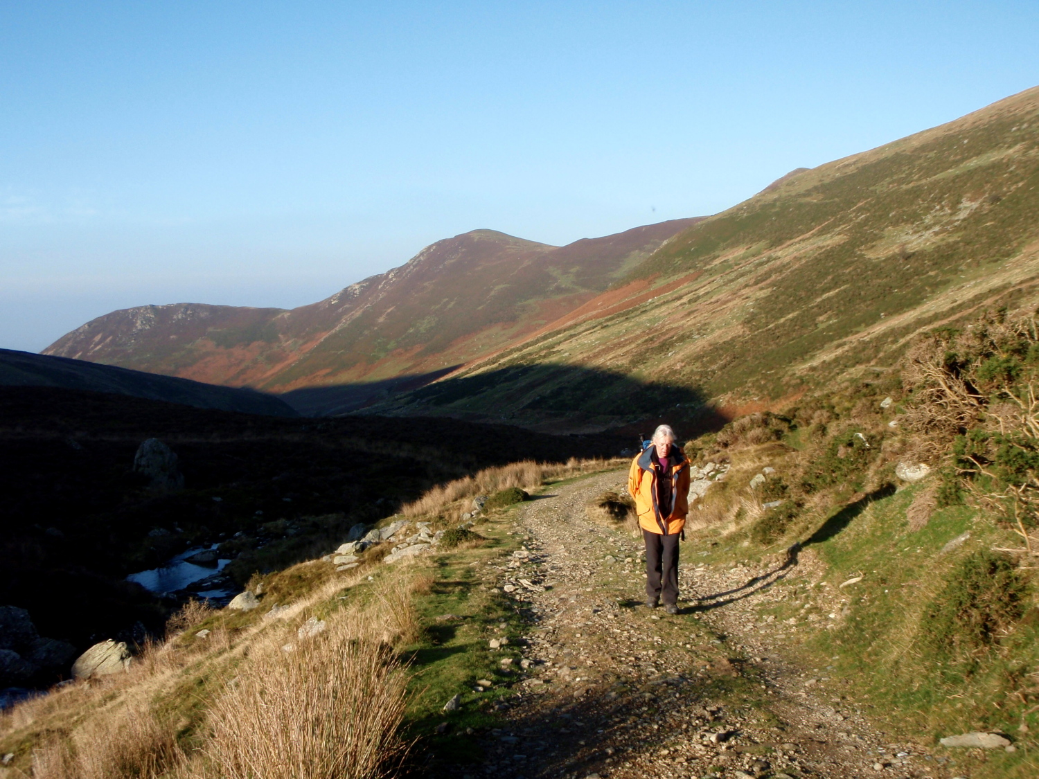
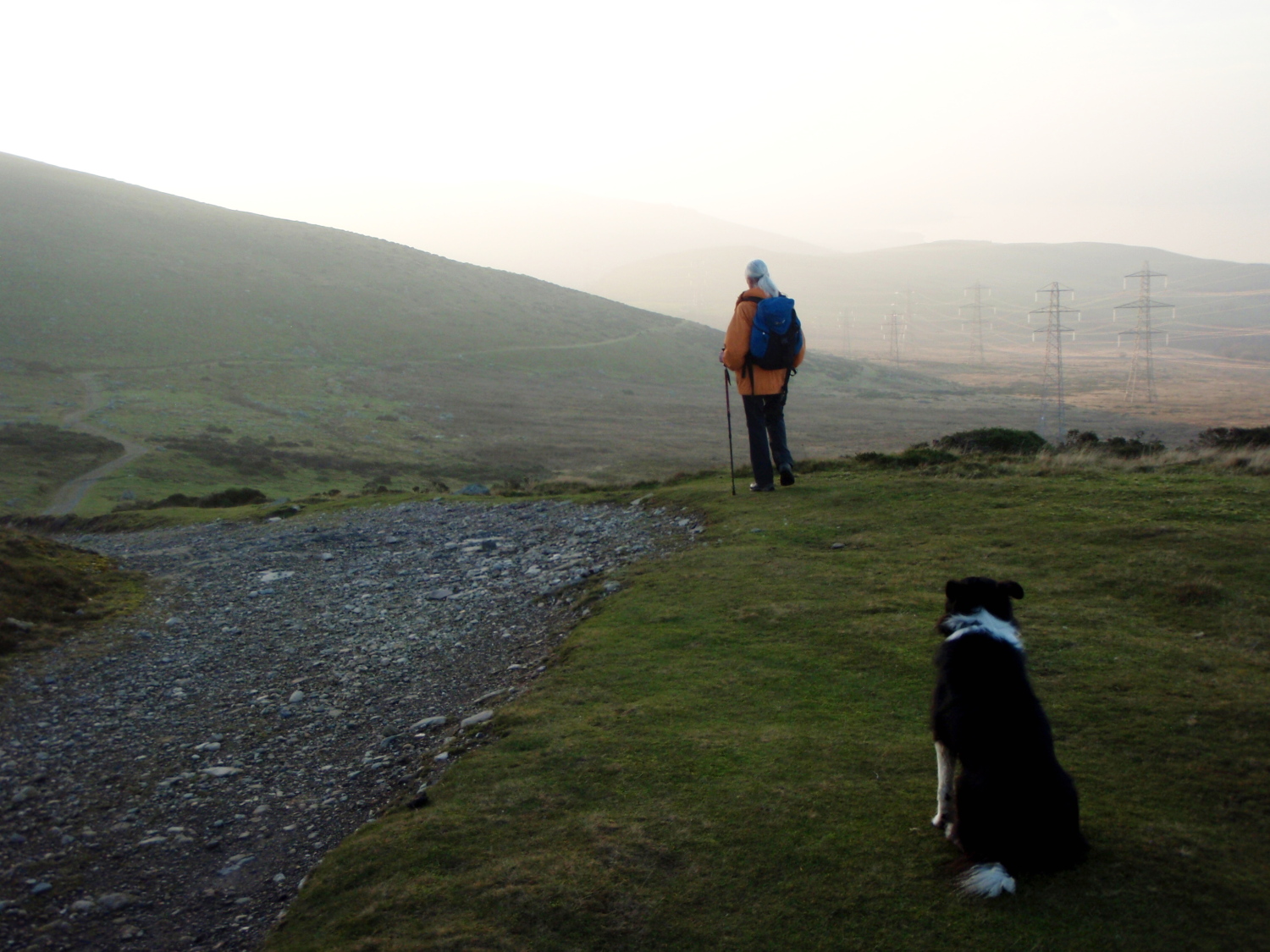
The view back down the track
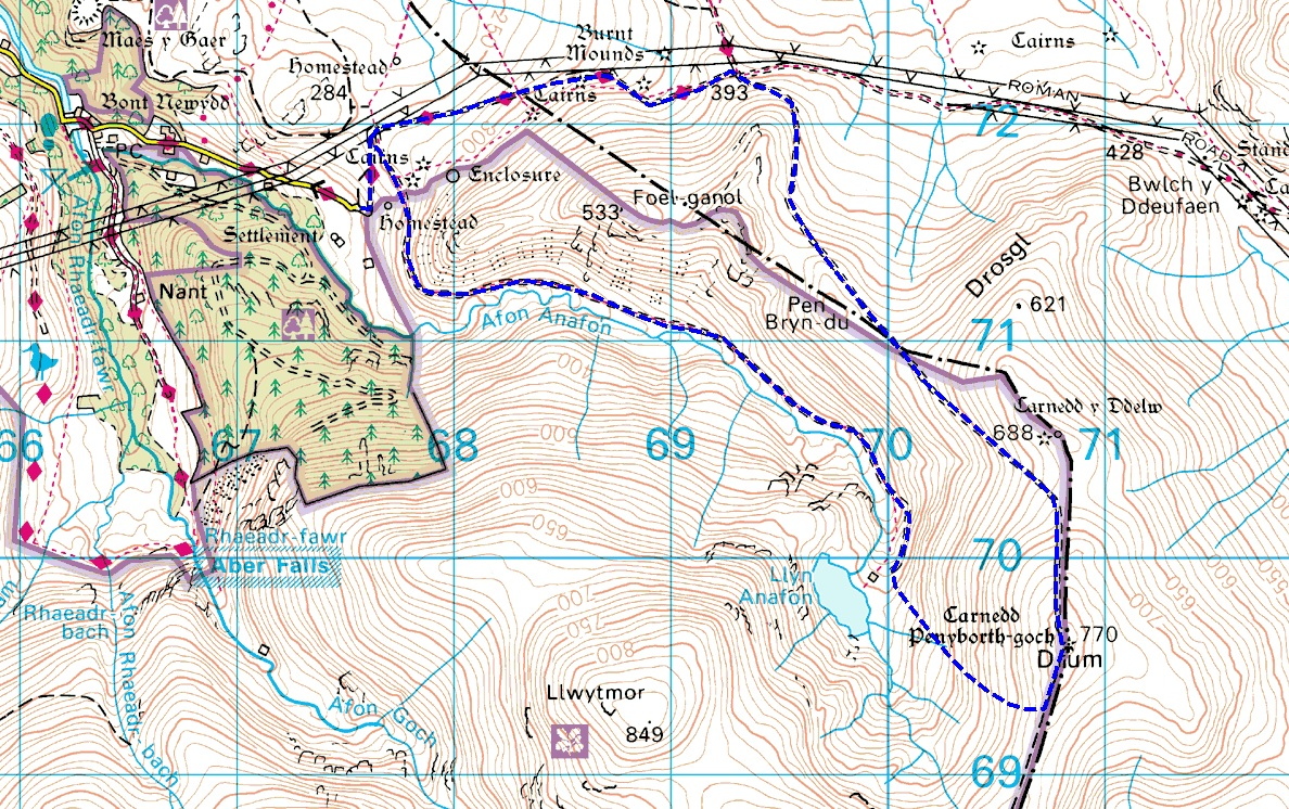
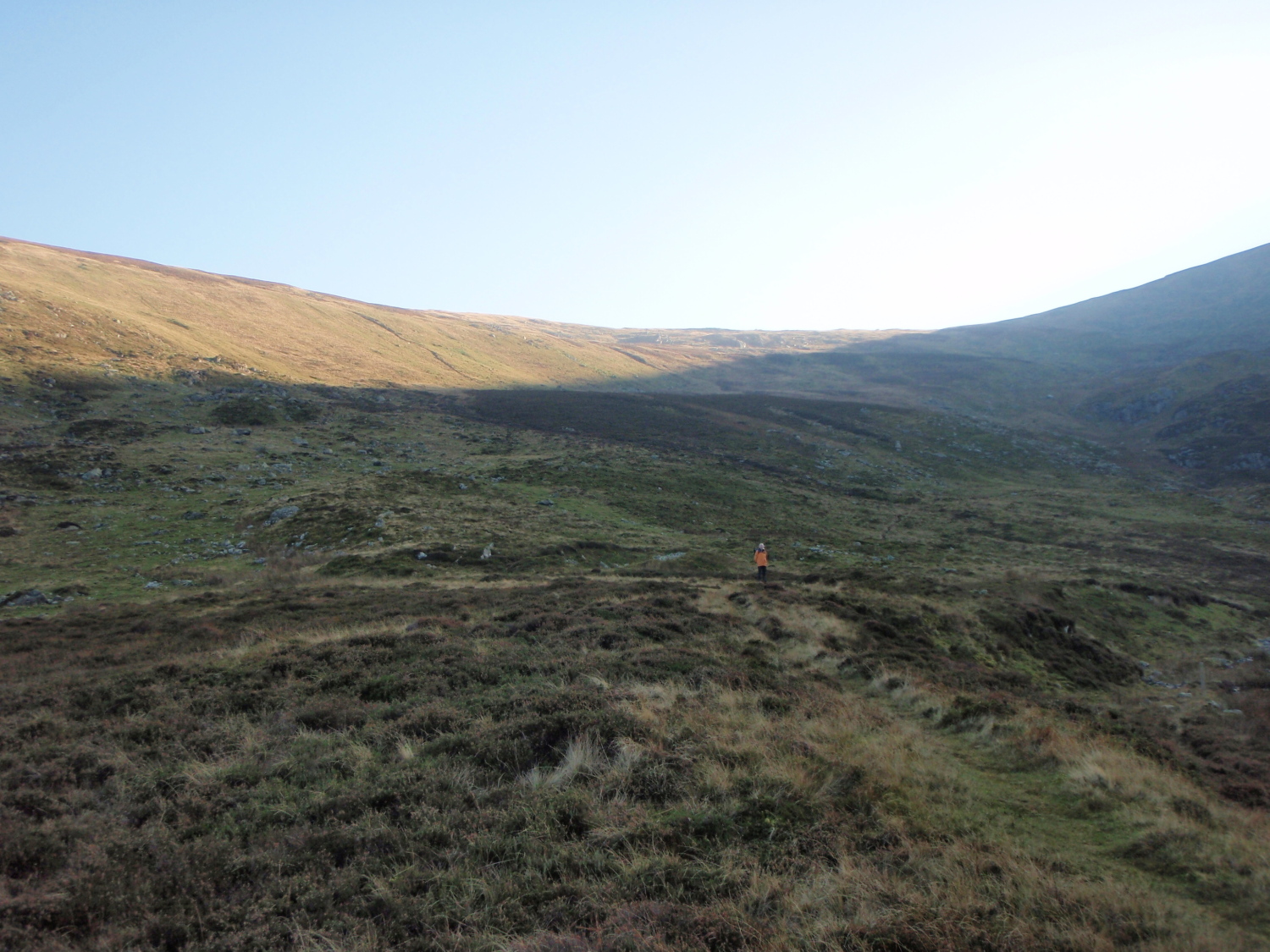
The plan was another wander in the mountains of the Carneddau. The walk was made easier by the fact that much of the outward leg was on a track, as was the return, with just one section in the middle ‘off-piste’.
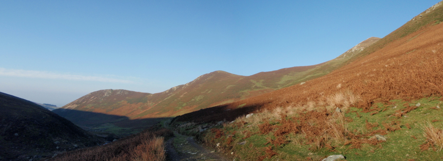
Left to right – Foel Dduarth, Foel Ganol and Yr Orsedd

High on our right, the slopes of Llwytmor
The track continues gaining height ….
…. until eventually you look down on Llyn Anafon
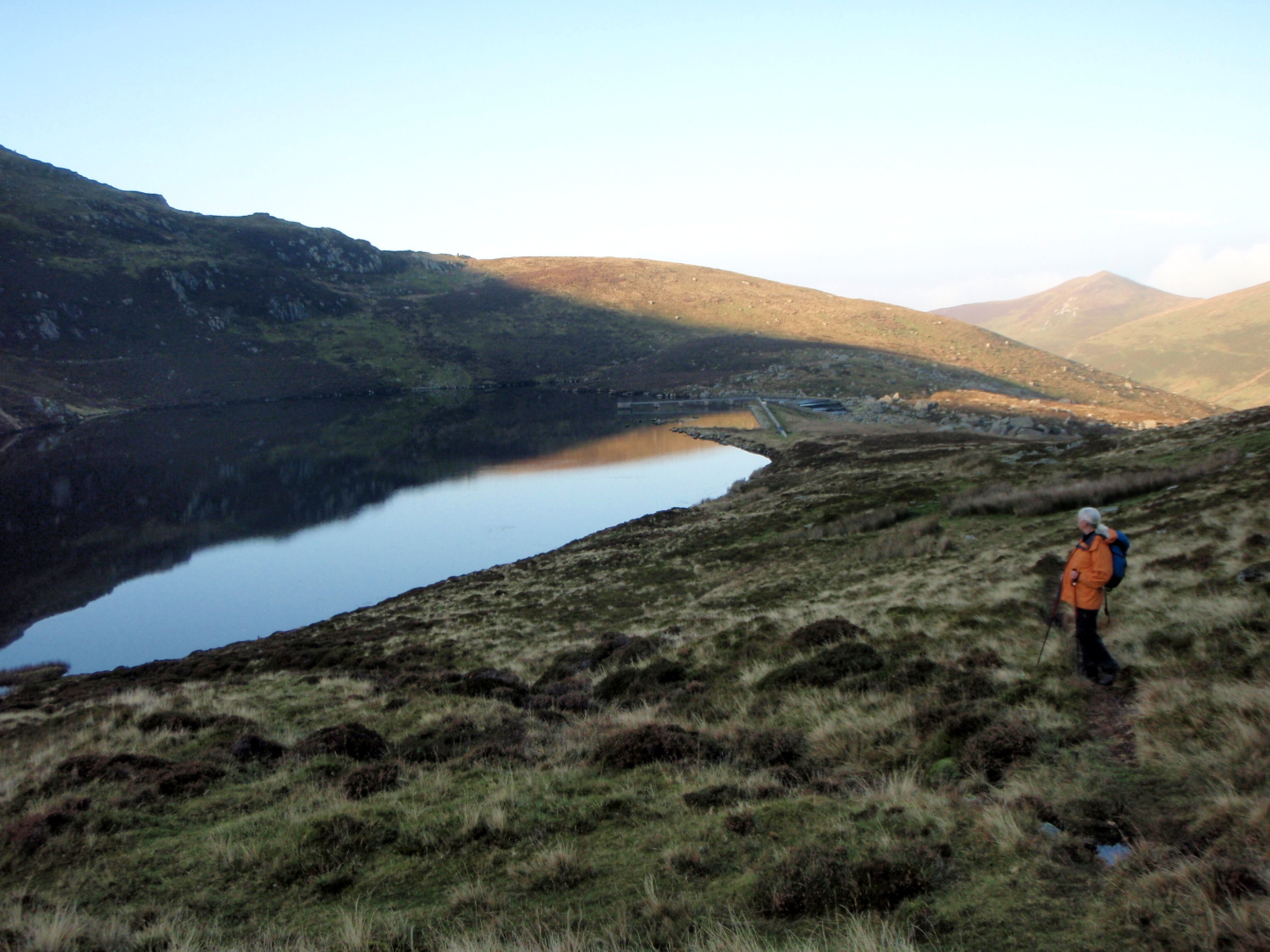
The track took us up to the lake of Llyn Anafon, nestling between the peaks of Drum and Llwytmor. Like many mountain lakes in Wales, Llyn Anafon is a reservoir, but it blends in so well with the location that you might think it had been here since the last Ice Age.
Beyond the lake, the high plateau of the Carneddau rises ahead
Things get a bit steeper near the top (Llwytmor behind)

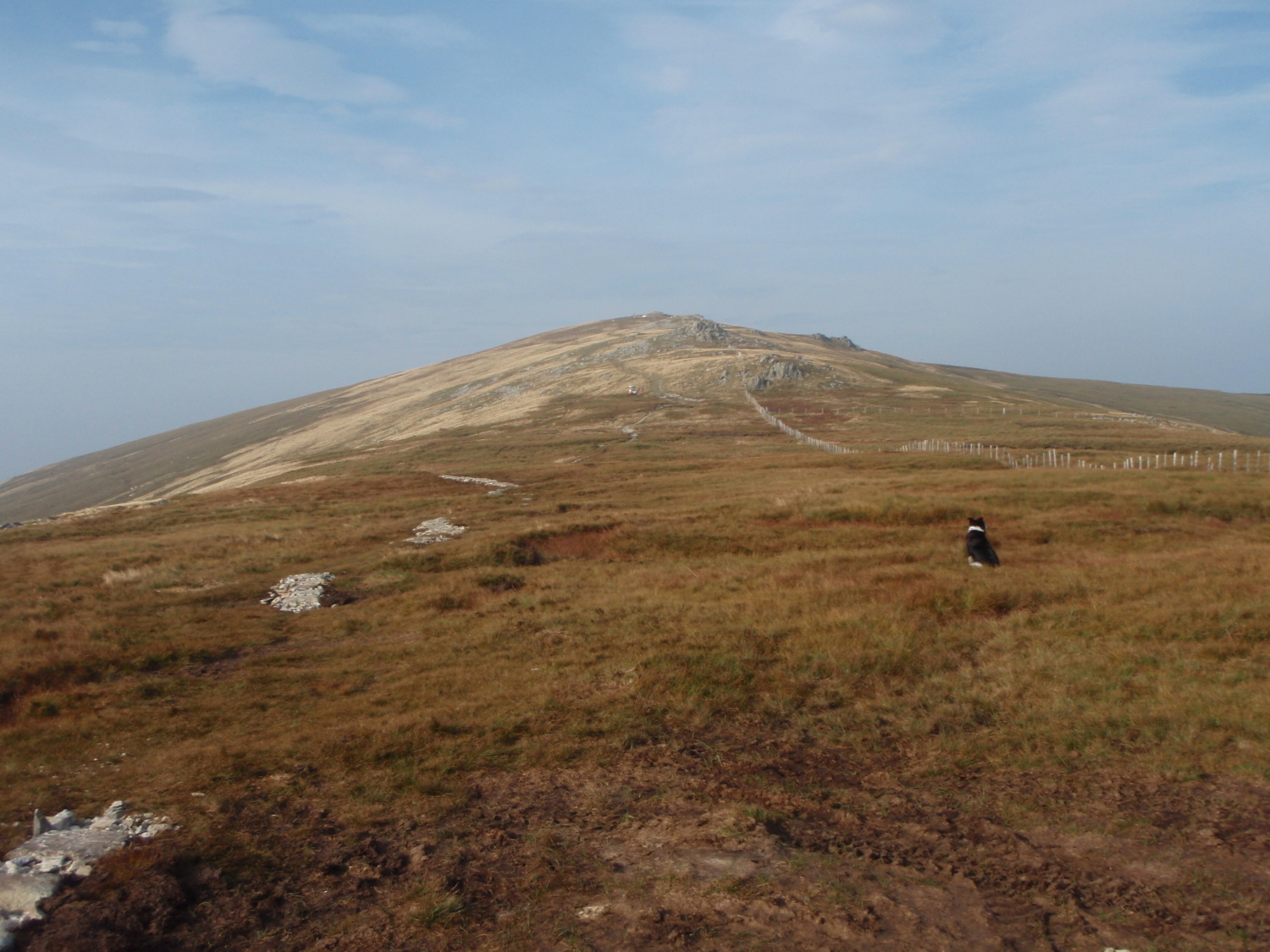
Getting near to the summit of Drum
Walkers on the ridge above
At last – on the ridge between Foel Fras and Drum
The route between Llyn Anafon and the ridge connecting Foel Fras and Drum was the ‘off-piste’ bit, with no track or path shown on the map. However, common sense suggested that this would make an attractive way to or from the ridge, and the contour lines on the map were far enough apart to indicate the route as being feasible. Sure enough, when we got there a couple of faint paths materialised, giving a steady climb of 250 metres (820 ft).
The summit of Drum ahead ….
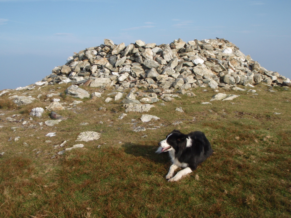
…. with the remains of a Bronze Age cairn on top ….
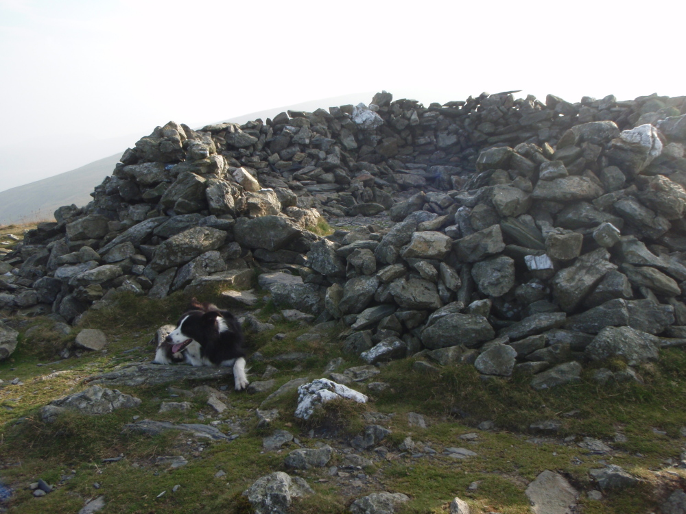
…. unfortunately ransacked to make a shelter
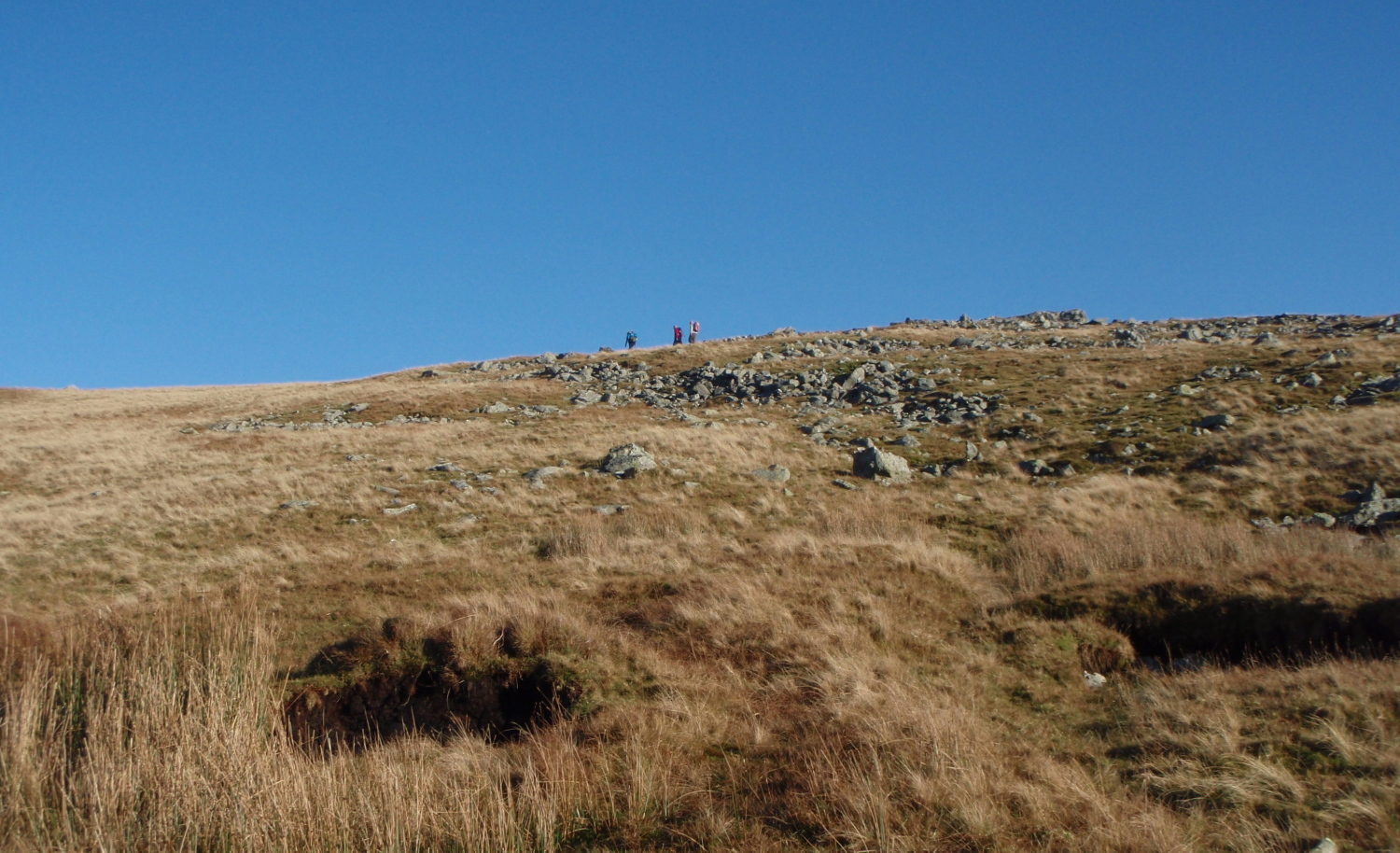
We heard other walkers on the ridge above before we saw them, but the summit of Drum was deserted when we arrived. The top is flat and featureless apart from the remains of a Bronze Age cairn, possibly 4-5000 years old. As with many other such cairns on mountain tops, the structure has been ransacked to make a shelter, though there was no need of that today
The start of the descent
Llwytmor
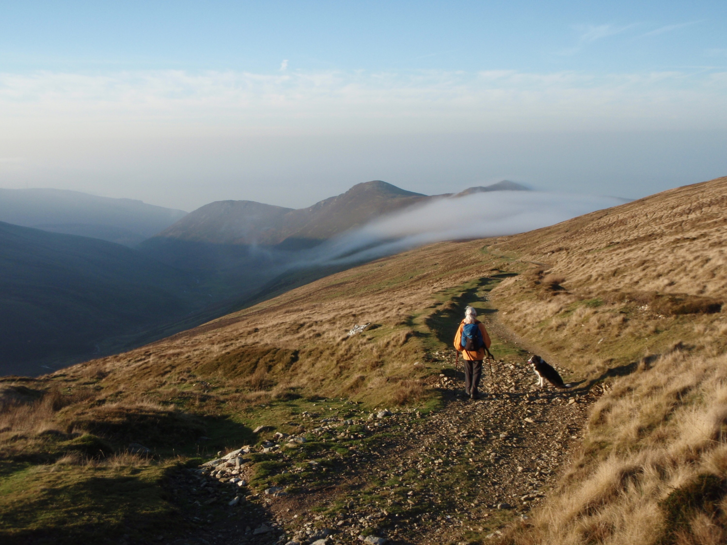
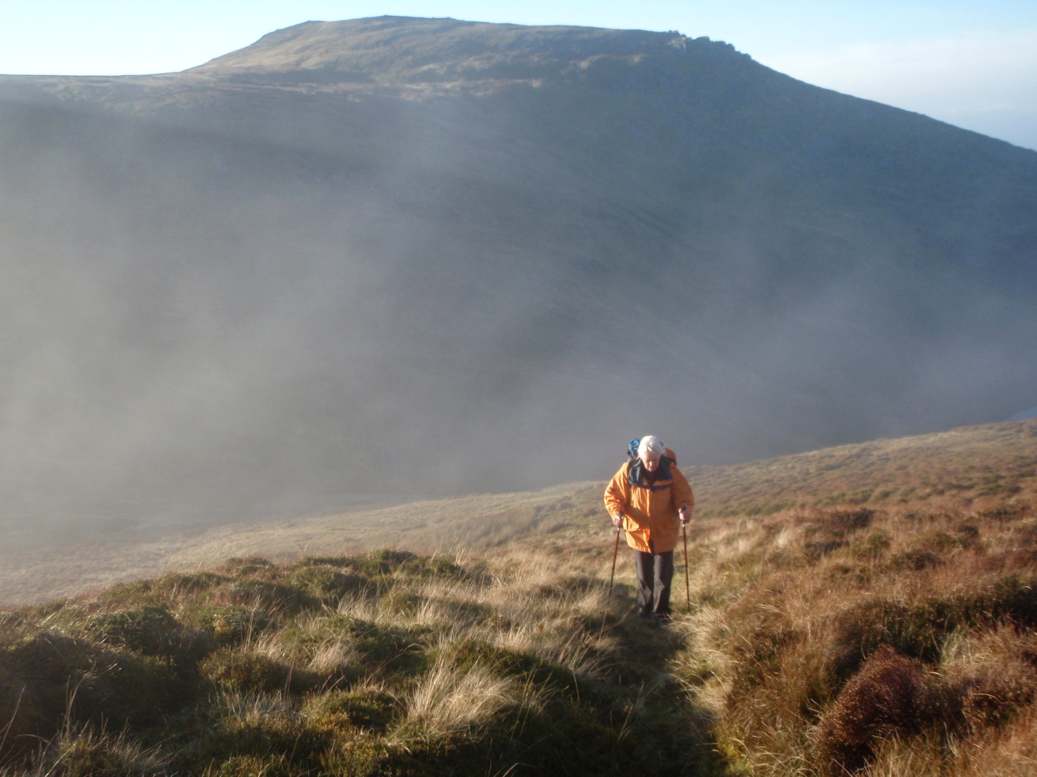
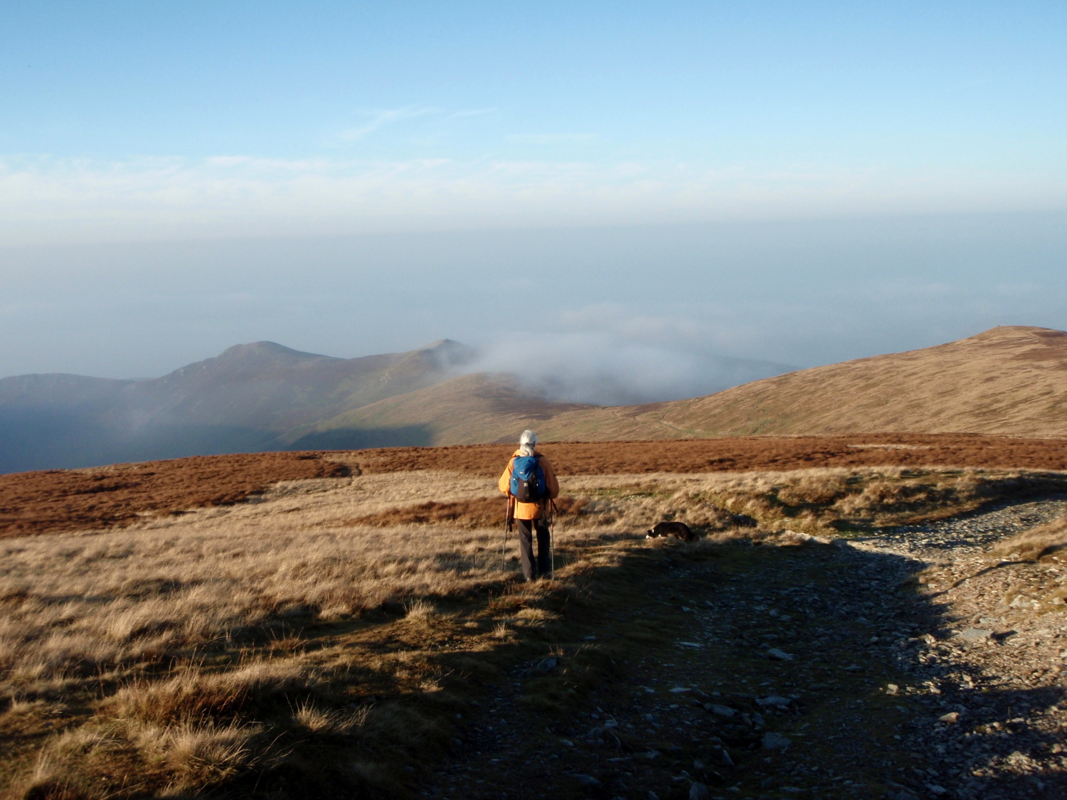
Mountain mist pouring over the bwlch ahead

In the shade now on the lower part of the track
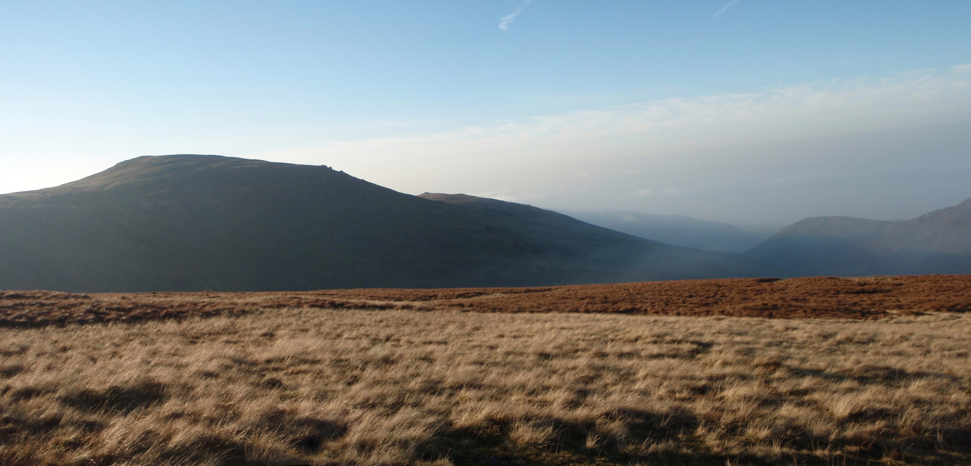
Looking back towards Drosgl with Drum peeping out behind on the right
From Drum the return was easy, following the line of a more recent track used to transport materials for a radar station near the summit, now long gone – the purpose of the station was secret at the time, and even the mighty ‘Google’ fails to come up with any information as to its purpose. Leaving the mystery unsolved we headed down the track to join the old Roman Road, a relative new structure for these parts at a mere 2000 years old.

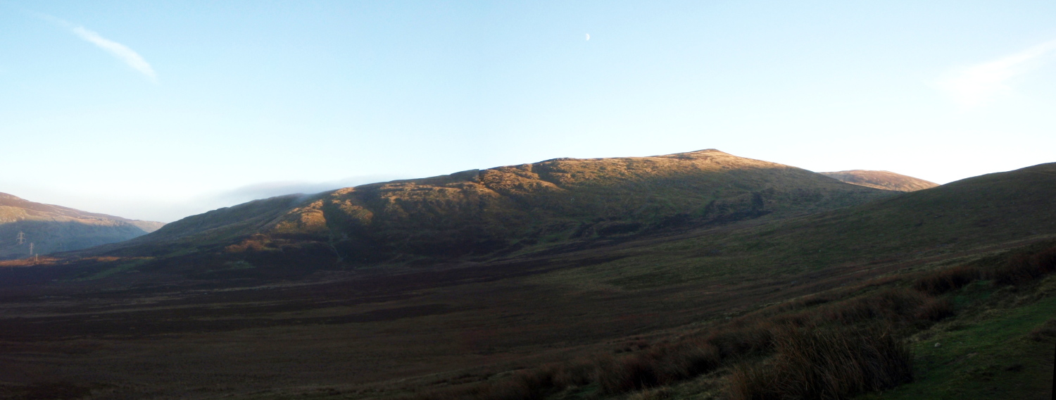
Last view of Drosgl ….
…. before heading back home on the old Roman Road
Text and images © Paul Shorrock
p.s. Sorry to those of you who were looking for a new post two weeks ago – I was working away as safety crew on the Spine Race. This year the event took a real hammering from the weather, but the event went ahead and more importantly went ahead safely!


Beautiful shots =)
LikeLike
Thank you 🙂
LikeLike
Love the mountain mist coming over the peaks. Obviously, not as much as I like to see Mist coming over the mountain peaks! Giggle!
LikeLike
I’m with you Plant Girl on both counts 🙂
LikeLike
I’ve always rather liked the name ‘Drum’ and wondered what it was really like!
LikeLike
If you want to impress the locals, pronounce it the way the Welsh do – ‘Drim’ 🙂
LikeLike
Didn’t know about the radar station. I’ve been up the other side of Drum but don’t think I’ve done the rest of that ridge. I haven’t been the other side of that pass either so that looks a nice walk for me when I eventually get back to Wales!
Carol.
LikeLike
I finally managed to find a link to the radar installation – it was called ‘Project Blue Joker’ and utilised two large vehicle-borne containers. Photos of the time show 10 ton army trucks knocking down the walls on the road up from Abergwyngregyn 🙂
The project was abandoned in the early 1960’s, when the nuclear threat changed from Soviet Bombers to long range missiles. The Canberra bomber that crashed on Carnedd Llewelyn in December 1957 was engaged in trials with the Drum radar installation.
With your military past, you would probably find the history of the project interesting Carol.
LikeLike
With my military RADAR past, I certainly would. We used to use Canberras on the range for target-towing – lovely aircraft 🙂 I knew a few of the crew too – lovely guys 🙂 Ours were 7 Squadron’s.
I never really thought there was a Soviet threat – not a nuclear one anyway – they weren’t stupid enough to push the button. But, unfortunately, the new threats are! 😦
Carol.
LikeLike
I’m jealous! But we got to see your Border collie – a BONUS! A good friend from Atlanta, GA told me a story about her Dad who was a B-17 pilot in WW II. They became lost in a snow storm over the North Sea and were attempting a return to Molesworth…they didn’t quite make it over the Cheviot Hills. A Border collie found the wreck and returned to the village where it lived to alert the populace. I believe there is a statue or plaque commemorating the dog’s heroic actions. Some of the crew survived…my friend’s father among them. -Tom and Magic
LikeLike
Thanks Tom – I always try to include ‘Mist’ in the photos, because I always include her in my mountain days 🙂
Great story about your friends father – I was in the Cheviots just over a week ago. I have a book documenting air-crash sites in the upland areas of the UK, and I think I have the one you referred to – 16th December 1944, two crew members died in the crash but seven survived! I’ll visit the site the next time I’m over that way.
There are many such sites in North Wales, where I now live, and I often include the stories in my blog – if you click ‘Aircrash Sites’ on the top menu bar of my blog page you will see most of them. Many of the stories have sad endings, and many involve countrymen of yours, usually young men who died a long way from home.
LikeLike
Tom,
The links below will give you some more info on the Cheviot B17 crash,
http://www.aircrashsites-scotland.co.uk/boeing_b-17g_west-h.htm
http://www.cheviotwalks.org/roundabout11.html
http://www.geograph.org.uk/photo/2005536
LikeLike
Beautiful autumnal light, Paul
LikeLike
Thanks Andy – if only I had your eye to make the most of it 🙂
LikeLike
It’s not easy taking images and walking to a schedule. You have to take the scenes as you find them, and you do that very well, Paul.
LikeLike
Superb photos Paul – looks an amazing walk!
LikeLike
It’s one of those quiet corners SP, lovely stuff!
LikeLike
Pingback: #219 – Llyn Anafon and Drum in the Northern Carneddau | Paul Shorrock – One Man's Mountains AKA One Pillock's Hillocks