
Looking east from Pumlumon Fawr towards Pumlumon Llygad Bychan

The route
Although many in the UK will remember the late summer of 2014 that lasted from September until the end of November, it’s easy to forget that August was well rainy, and Chris and I spent a soggy few days in Mid-Wales dodging the showers. One of the walking targets for the trip was a corner of the Cambrian Mountains near Aberystwyth called Pumlumon (it’s pronounced ‘Pimlimon’ and means ‘Five Peaks’) but our first attempt was abandoned due to the rain.
Setting out near Eisteddfa Gurig

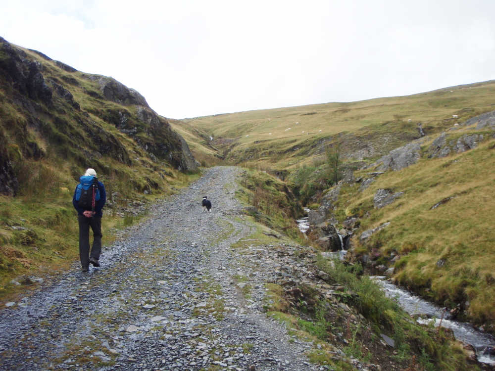
The track opening out by the Afon Tarennig

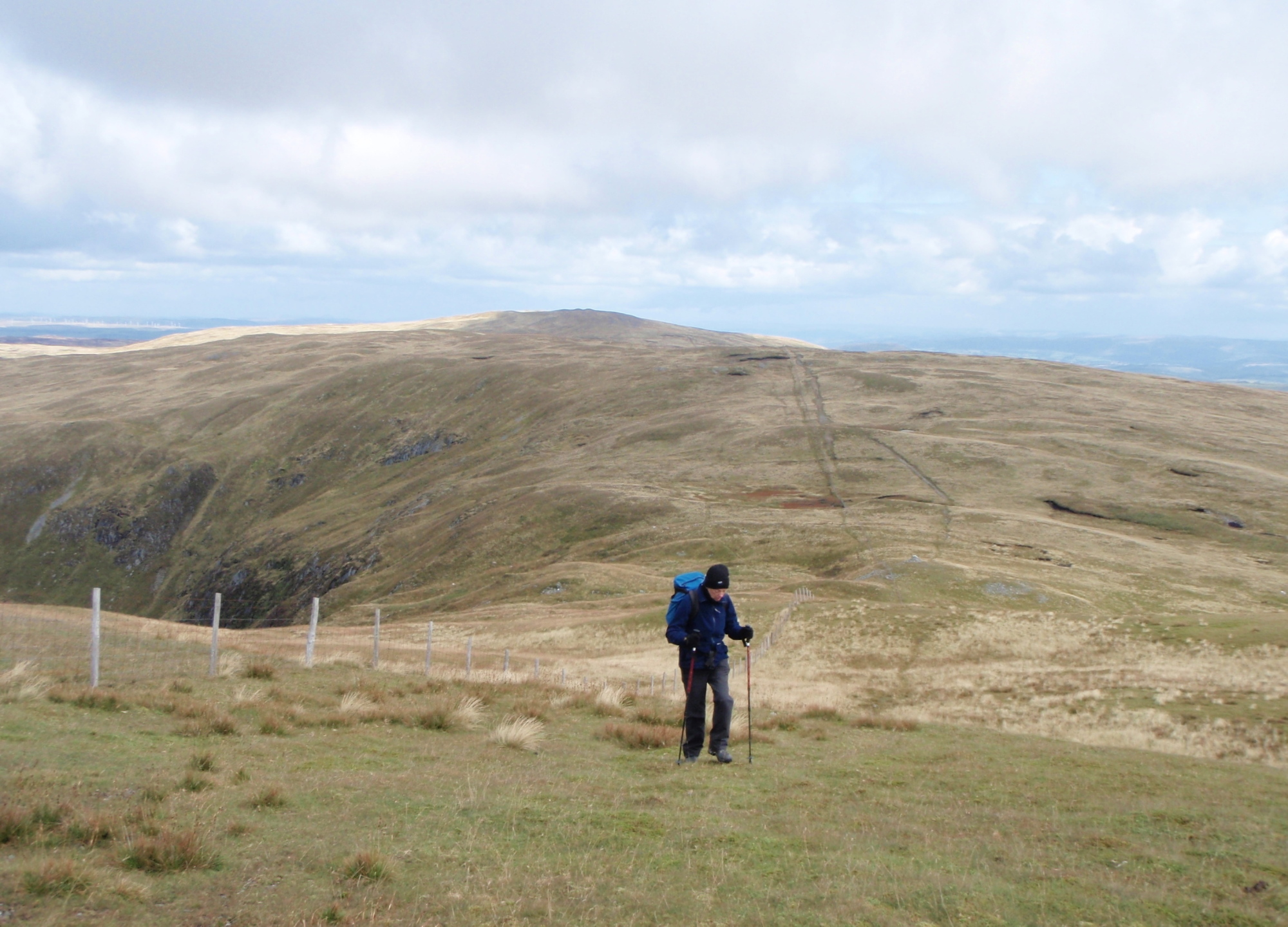
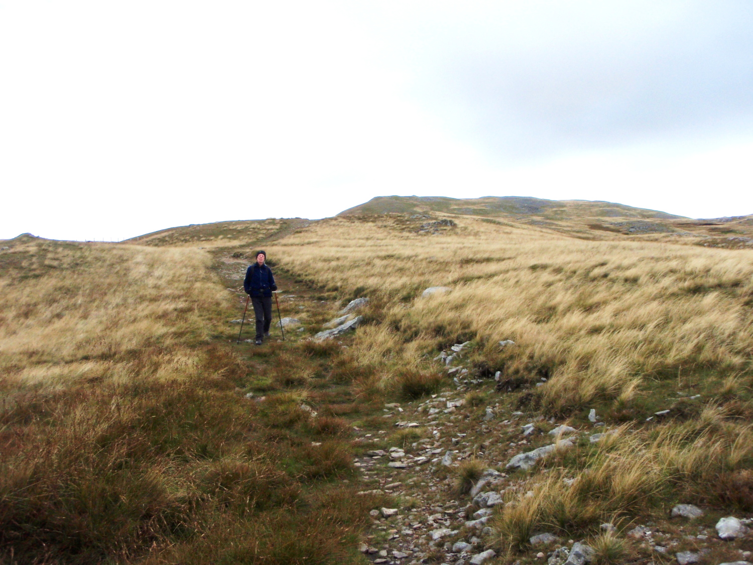
Above the old mine workings, heading for Pen Pumlumon Fawr
Bad weather doesn’t last forever, even if it sometimes feels that way, so after an escape to the rain free Brecon Beacons (see post #169) we tried again for Pumlumon. The route starts out from the busy A44 road at Eisteddfa Gurig, and initially takes a much older road to old lead mine workings.

Heading ‘off-piste’
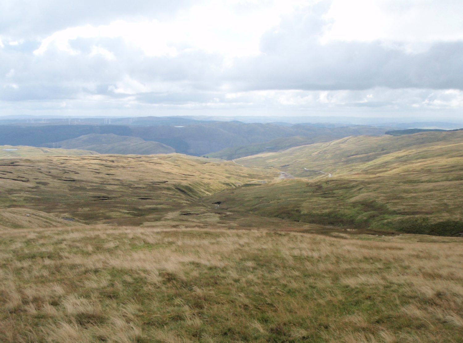
The view to the south
At the lead mine it was time to take to a hill track, which heads straight for the top of Pumlumon Fawr – we didn’t follow it for long though, as one of the objectives of the trip was to visit the site of a WW2 air-crash. A short section ‘off-piste’ led us across the bare hillside, and before long we could pick out the unmistakable sight of weathered aluminium.
* * *

Lockheed P38 Lightning/F-5E
On 11 September 1945, a Lockheed F-5E of the 27nd Photographic Reconnaissance Unit USAAF was being ferried from Chalgrove in Oxfordshire to Burtonwood near Warrington. The Lockheed F-5E was a variant of the better known P38 Lightning, and was identical apart from the addition of four cameras in the nose of the aircraft. During the flight, the aircraft struck a ridge with a glancing blow losing its propellers, then continued for some distance before inverting and crashing into the hillside. The pilot, Lt Xenophon Eugenedes, was killed in the crash.
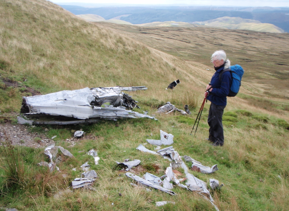
The crash site

Still some large sections remaining
The wreckage was seen the following day by a shepherd, and the location reported to the police. Investigators concluded that the pilot lost control while flying on instruments in cloud, and was recovering from a dive when the aircraft struck the ground. It has been speculated that had the aircraft been flying ten feet higher, the crash would not have occurred.
* * *
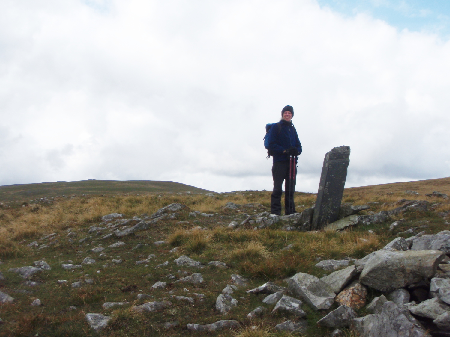
Old boundary stone just a little higher than the crash site

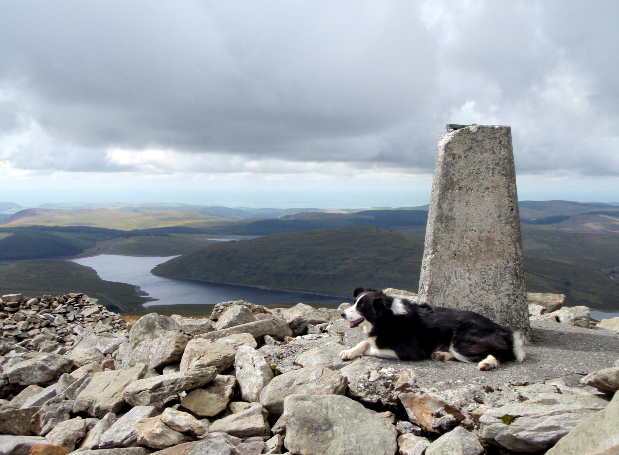
Looking west towards Pen Pumlumon Fawr (752 metres)

Approaching the summit on Pen Pumlumon Fawr
Our route continued to take in a couple of the Pumlumon summits starting with Pumlumon Llygad Bychan. A slight descent was then followed by a steady and gradual climb to the highest summit of the range, Pumlumon Fawr at 752 metres (2467ft).
‘Mist’ at the summit with Nant y Moch Reservoir below
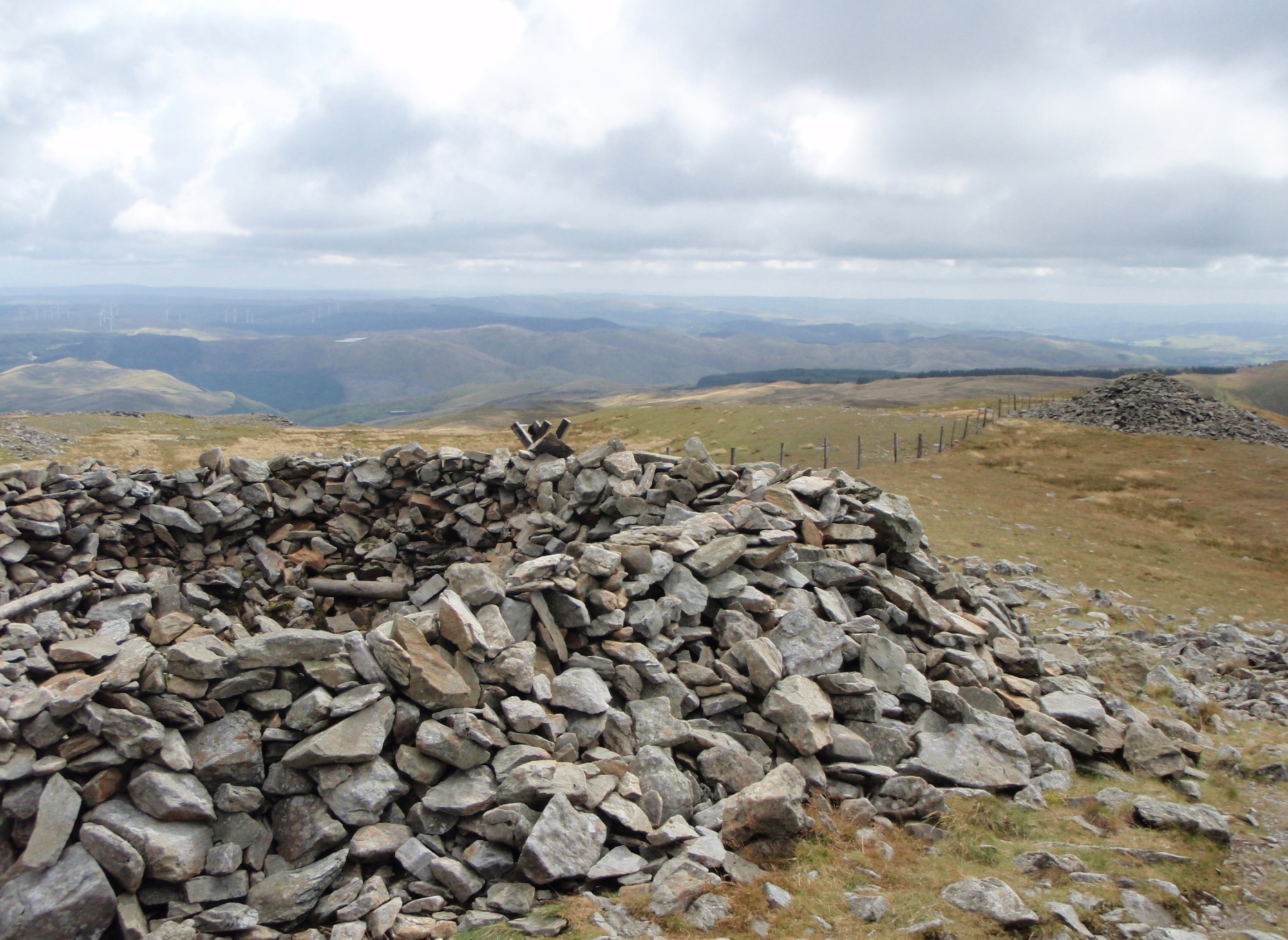
Remains of the Bronze Age cairn at the summit

Time to head back
As with many of the summits of Welsh mountains, the top was crowned with an ancient Bronze Age burial cairn, probably 4-5000 years old – another common feature of such summits is that the stones of the cairn are often ransacked to build wind shelters, and this was no exception, though I suppose we might have been more grateful had the weather been bad…

Heading south from the cairn
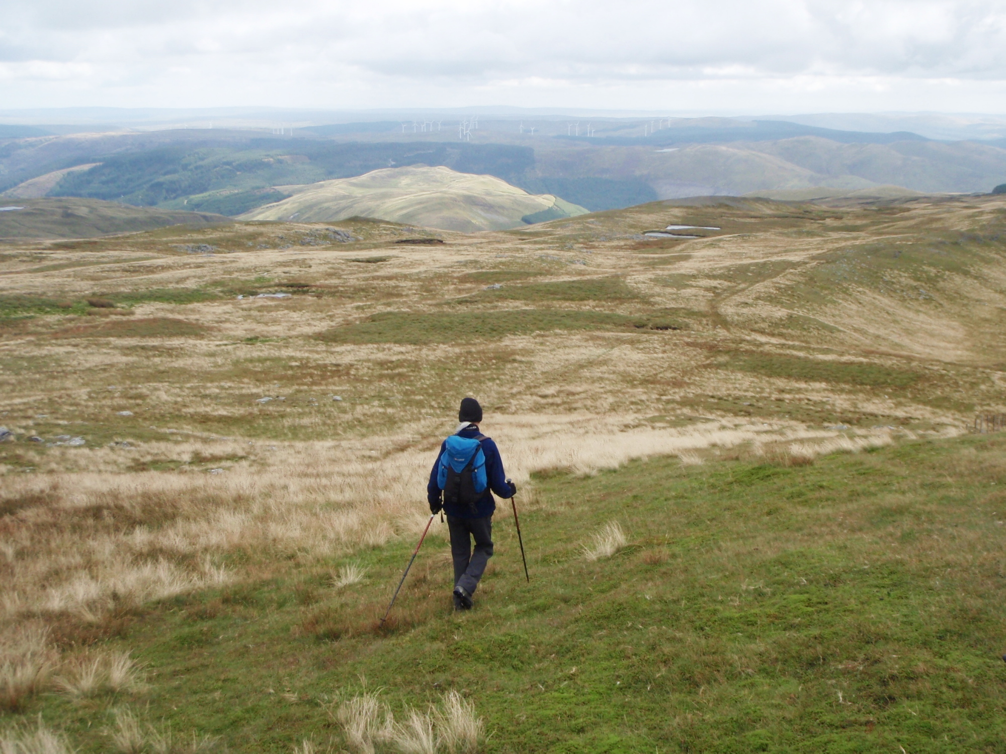
The two small pools on Pen y Drawsallt ahead
Losing height at last
Heading back was downhill all the way – the rough hillside became a grassy path that morphed into a forestry track. We just ‘dipped our toes in the water’ on this trip, but we will probably return to dip our toes for real – these hills are the sources of three important rivers, the Afon Rheidol, the Afon Gwy (River Wye) and the Afon Hafren (River Severn, the longest river in Britain), but the stories of the rivers will have to wait for another day.
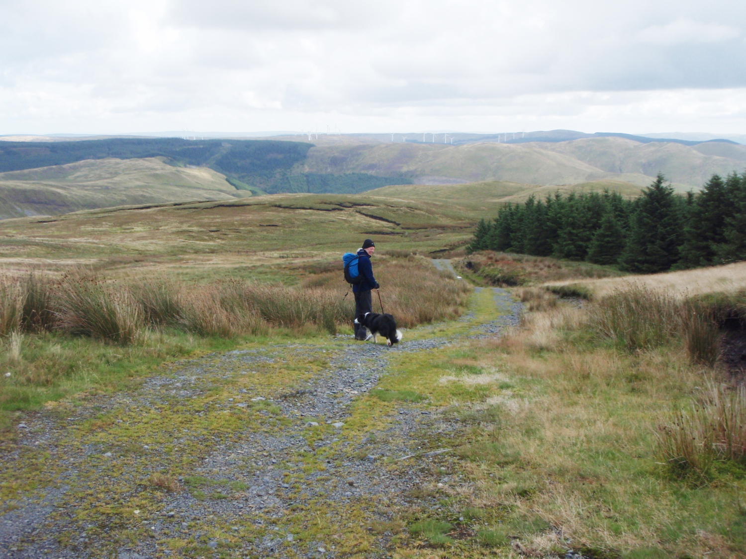
The track home by the forest
Text and images © Paul Shorrock


I always look forward to reading your posts Paul…this one is excellent. And I am always struck (have I said this before) how much the Welsh mountains remind me of Yorkshire or Cumbria. And so many crash sites too. I was talking to an archaeologist who said he thought that the stones for the Bronze Age burial cairns were always carried up by women (and unfortunately I can’t remember why)…but when I see him next I will ask him and let you know. Magnificent photos as always Paul.
LikeLike
Cheers SP, and thanks for the comments – I’m particularly intrigued by the idea that the stones were carried by the women.
LikeLike
I haven’t been on Pumlumon since I was a nipper! Nice to see an unusual place in a post – you never seem to hear about that area.
Carol.
LikeLike
Thanks Carol. It’s an area that’s a bit off the beaten track, and I guess that you have to make a point of heading that way – we’ll be back!
LikeLike
Beautiful photos! Always love the history lessons in your posts also 😀
LikeLike
Thanks Plant Girl. It’s a lovely wild area, with a wealth of history and old tales.
LikeLiked by 1 person
Another mountain area of wide-open broad flowing ridge lines. There certainly do seem to be a number of crash sites in the welsh mountains – is the same true of The Lakes, do you know?
LikeLike
Thanks for the comment Andy. There have been 93 recorded air-crashes in Wales, against a mere 32 for the Lakes. As most of the crashes were during WW2, that can be explained by the proximity (or otherwise) of military airfields and the amount of upland area.
LikeLike
Great post – I like these remoter areas but haven’t been up Pumlumon yet – looks a nice route. This summer maybe…
LikeLike
Cheers Pete – next time I go I’ll have a look at the north side approach, it looks even more remote and wild.
LikeLike
I would recommend doing the 2000 foot summits of Drygarn Fawr and Gorllwyn, similar terrain and huge beehive cairns!
LikeLike
Cheers Matt – just checked them on the map. We go down that way several times each year to see friends and usually fit in a walk or two, so that’s another two for the wish list 🙂
LikeLike