

Ingleborough in the distance, seen from Whernside (JB)
(Left click images to zoom in, use browser return arrow to go back)
My first trip out recording the Y3P Challenge walk (see post #271) had been a bit, err …. damp! Gore-Tex jacket and salopettes were dried within a day but it was a couple of days before I had completely dried out my (supposedly) weatherproof camera. Still, there was no point in waiting around for a heatwave, so two weeks later I met John Bamber at Ribblehead to have a go at Route 5 – the weather was still a bit ‘iffy’ though!
3 December 2009 – Route 5, Whernside (the steep way) with John.

Route 5 – blue route from Ribblehead (anticlockwise). Return route in red, black arrows are Route 2

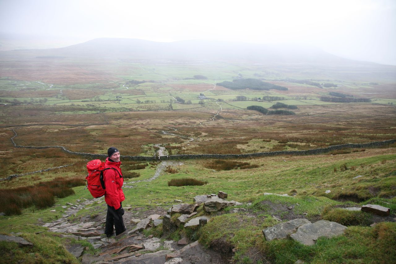
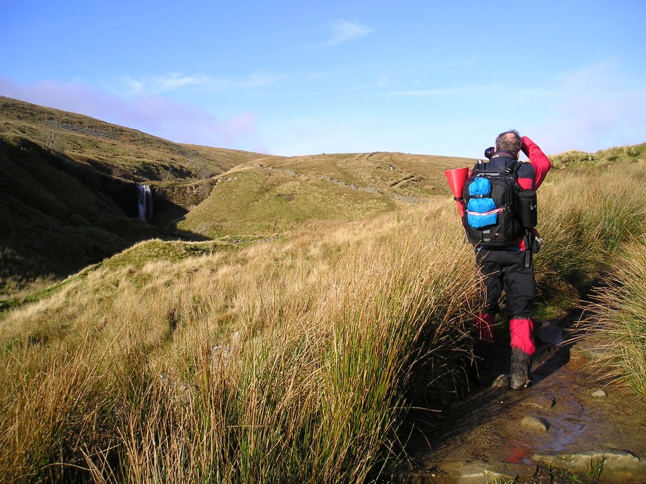
Weather still a bit ‘iffy’ – the author on the steep east side of Whernside (JB)
Yep, this was going to be Whernside the steep way! Route 5 was a more direct version of Route 2, which was completed a week later (see below). (The fact that the routes were not in numerical order didn’t matter at this point – that would be sorted out later.) Apart from being a longer trip, Route 5 followed the course of the Whernside section of the Challenge Walk – well, almost. The ‘official’ route round the Y3P follows the black arrows on the map above, but I had a cunning plan!
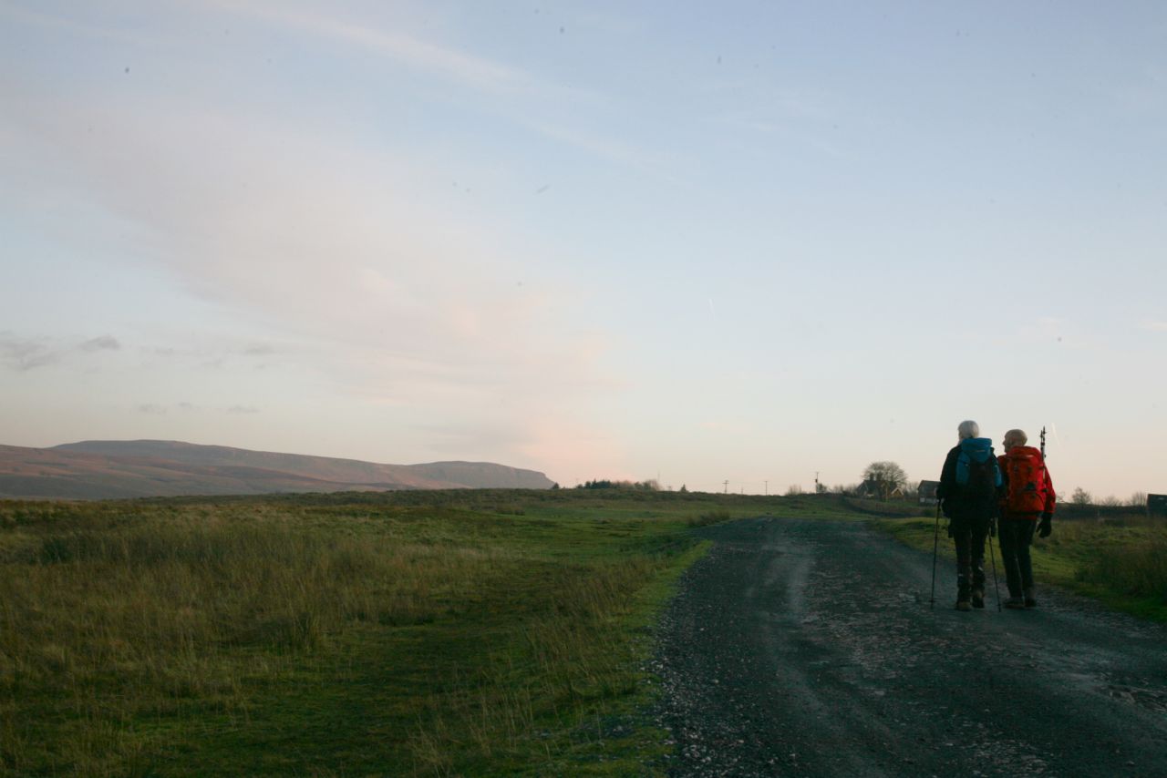
John setting out from Ribblehead in ‘less than perfect’ conditions
The route the runners take on the annual Y3P Fell Race takes a direct line up the hillside near Winterscales Farm – it’s short and brutal but much faster if you’re running it. I reckoned that even at walking pace, the ‘direct’ route could cut about 20 minutes off the time to the summit, and when we returned a week later, I was to be proved right. John and I might have made an even faster ascent if it hadn’t been for the snow!

The author taking a photo of …. (JB)
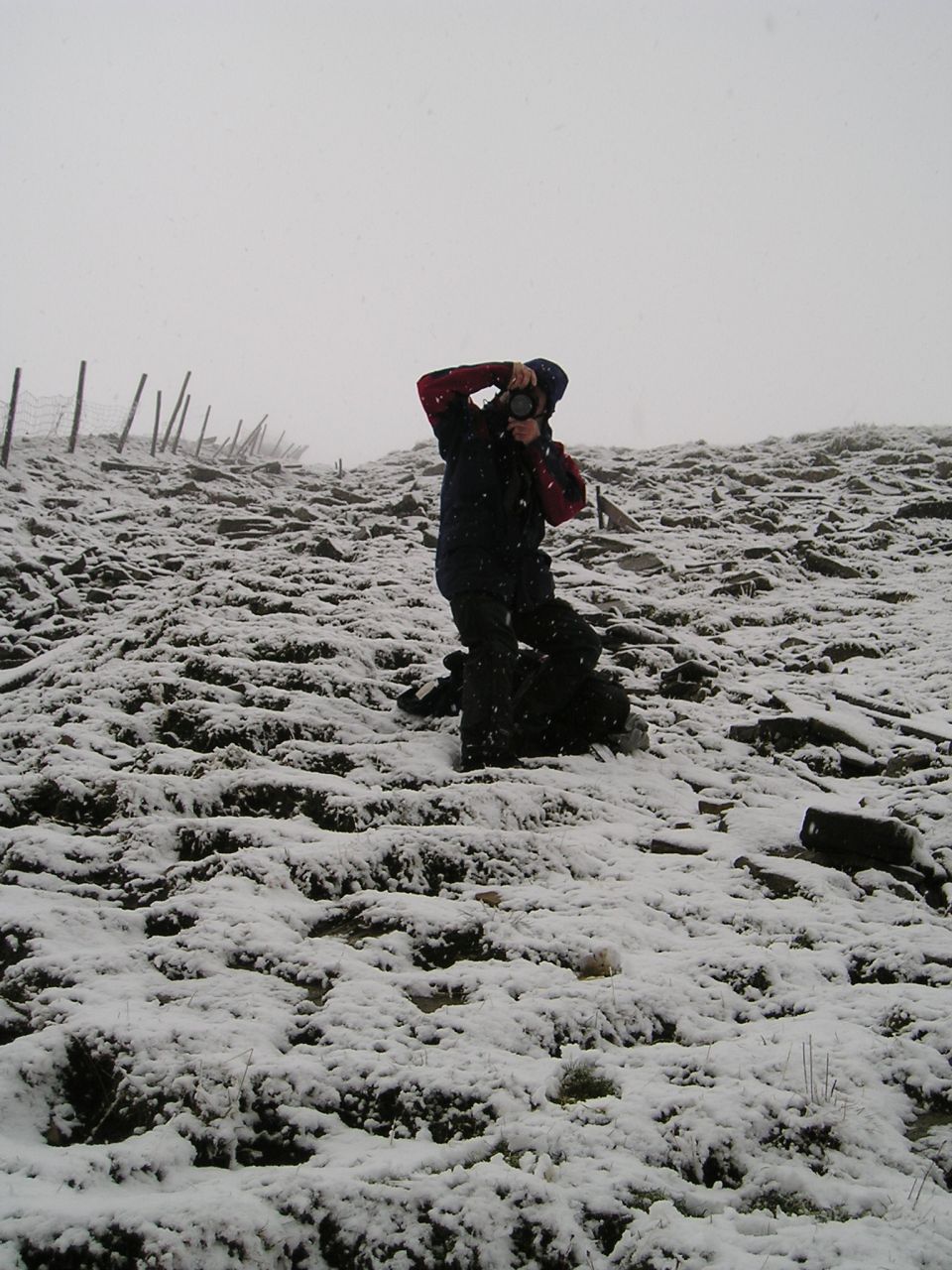
…. John taking a photo

Brew time! The author ‘chilling out’ at the summit shelter (JB)
Yes, our steep and uncompromising route up the side of the fell had a covering of wet, claggy snow, which didn’t add anything to the concept of a speedy ascent. We both added extra photos to the growing portfolio of Y3P shots, John with a couple of Canons, me with my Olympus Tough camera, newly dried out from the Ingleborough trip two weeks earlier. As we finally slithered to the summit, a brew of coffee seemed like a good idea.

Off the hill at last …. (JB)
…. heading for Chapel le Dale …. (JB)

…. where there just happened to be a handy pub! (JB)
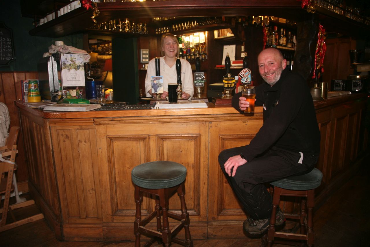
Well, it would have been rude not to have called in! (JB)
On the way down, the day began to brighten and it seemed that the early snow conditions wouldn’t last long. Sure enough, as we headed down to Chapel le Dale, the snow was starting to thaw and as we reached the road it was good to know that another GPS Track Log was in the bag. That deserved a small celebration, and the Hill Inn was open – well, it would have been rude not to have called in!
Almost back to the car – and the sun came out! (JB)
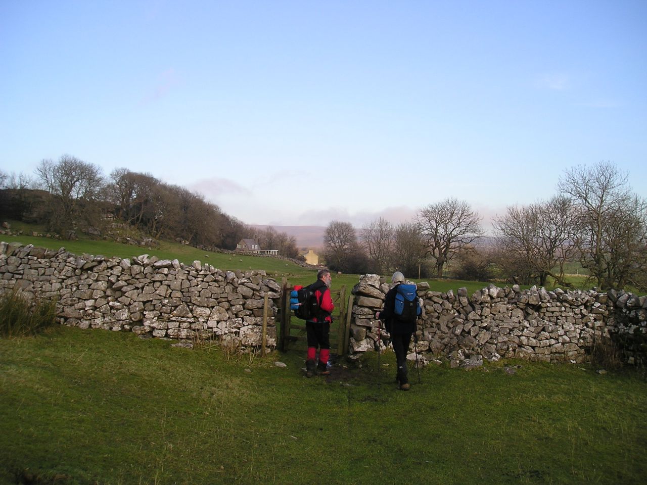
The route back to the car avoided the road by following the farm lane by Winterscales Beck to Gunnerfleet Farm, a longer walk than following the main road but much quieter with no traffic, an important consideration for hikers following the route in summer. As if to have a laugh at our expense, the sun came out as we arrived back at Ribblehead.
5 December 2009 – Route 1, Pen y Ghent with Chris.
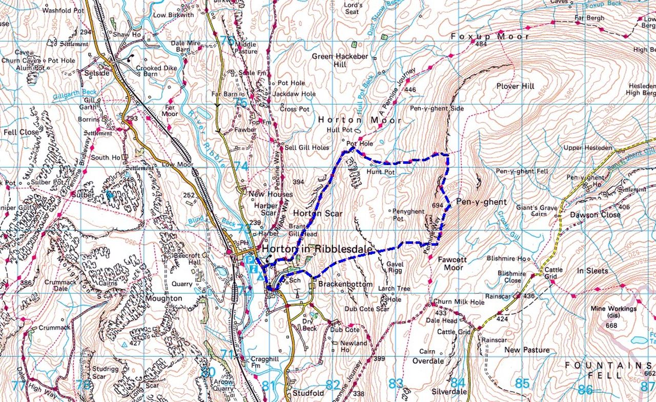
Pen y Ghent – anti-clockwise from Horton in Ribblesdale
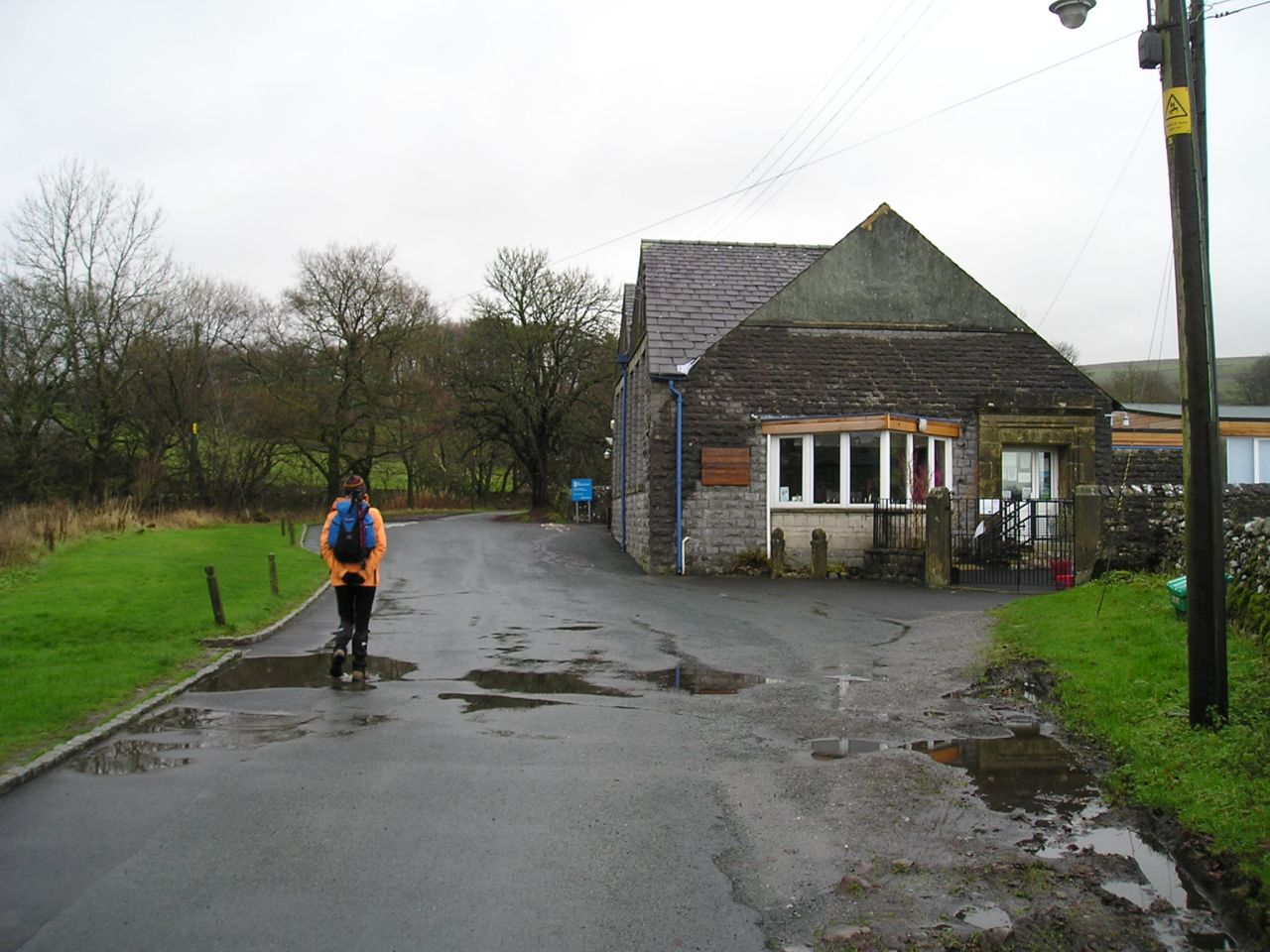
Passing the village school on the way out – not a promising start to the day
Two days later I was back in the Yorkshire Dales again, this time with Chris. Once again the day was dank and dull with no prospects of getting decent photos, so another GPS Track Log would have to do instead. It was no hardship to do this walk though, as it’s my favourite Yorkshire Dales route.

Rock step on the South Ridge

Chris – not looking impressed
Things ‘faired up’ on the way back
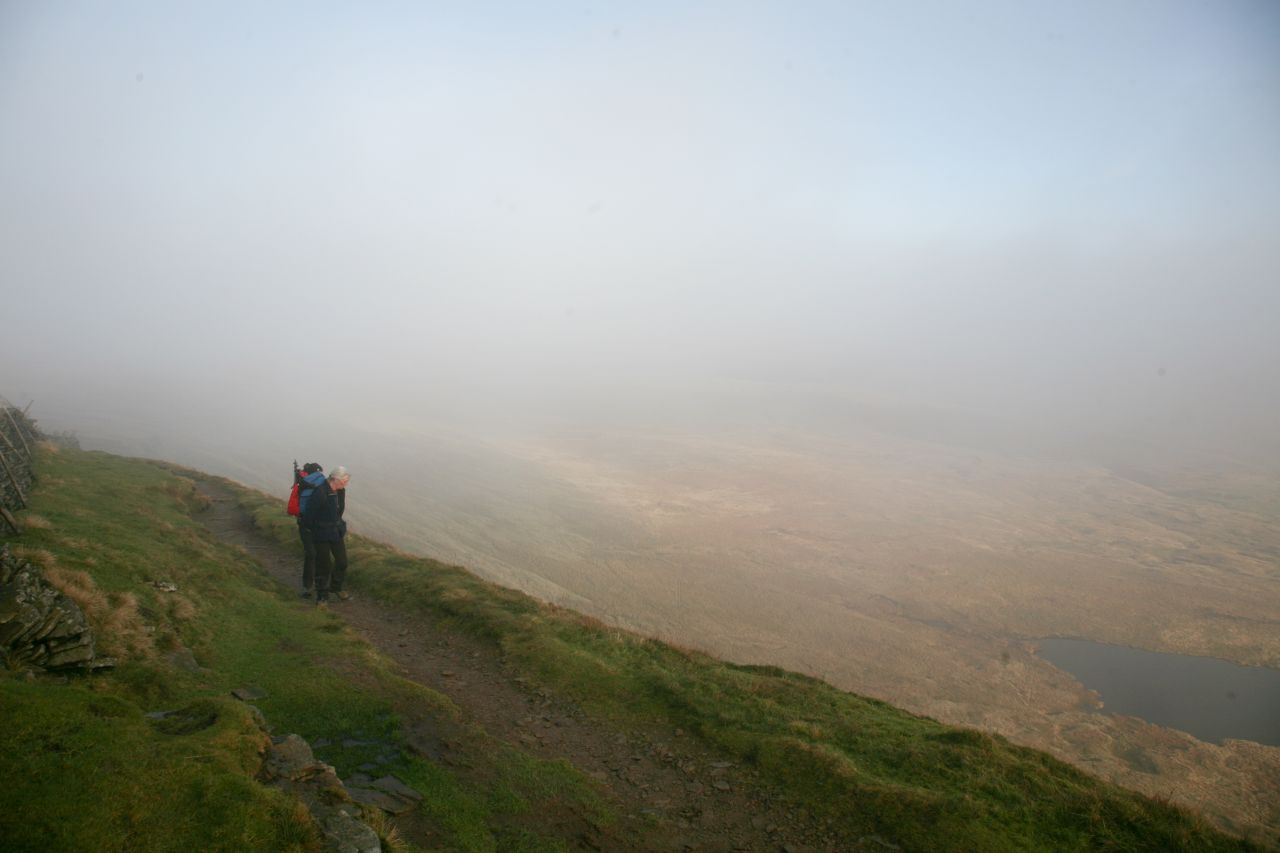
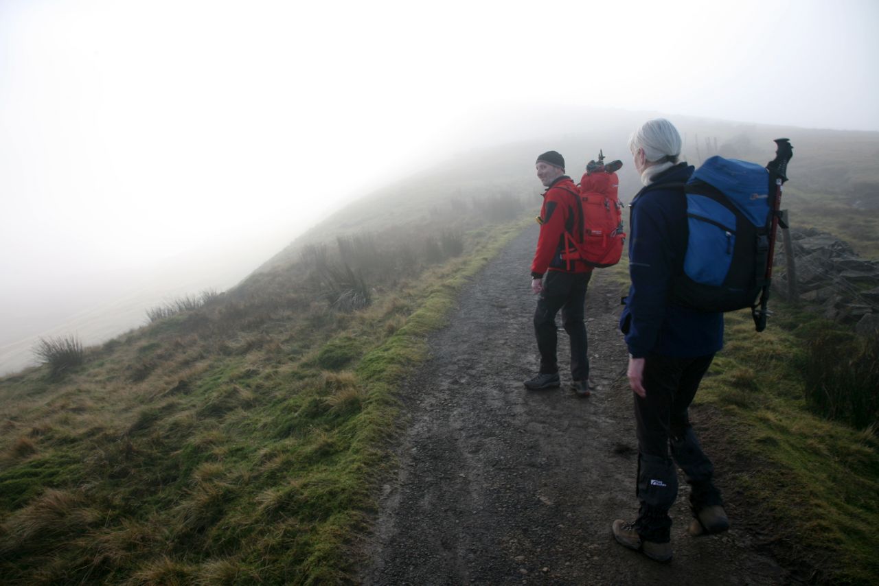
It was cool and misty up to the summit, where things took a sudden change, and we were reminded that Pen y Ghent means “Hill of the Winds”. The mist disappeared, but the wind was what is known in Yorkshire as “a lazy wind” – it can’t be bothered going round you, so it goes straight through you! The descent route was icy, required extra care, but on the way down the weather ‘faired up’ a bit, as we say in the North of England.
10 December 2009 – Route 2, Whernside with Chris and John

Whernside – anti-clockwise from Ribblehead

What a difference a week makes – the start of the Whernside ‘pretty’ route

On the approach, with a bit of cloud lingering on Whernside (JB)
A week after the first Whernside walk with John, we were back again, and with the full team of Chris, John and me. This time it was the Whernside ‘pretty’ route, which would be a good introduction to guidebook readers who had never seen the hill before, and a much gentler ascent than the brutal runners route that John and I had followed a week earlier.

A bit of stream hopping (JB)

Waterfall in Force Gill …. (JB)
-

…. and the man with the beard in action
-

The last pull up to the summit ridge …. (JB)

…. which by now was in the mist (JB)
At last we had a sunny day with blue skies, so decent photographs were a possibility. Sure enough, the lower part of the walk was in the sun, with John clicking away like a man possessed, but as we reached the summit ridge, we were in the mist again. No point in summit photos then!
The author and Chris, nearly at the top …. (JB)

…. then it’s time to head back down (JB)

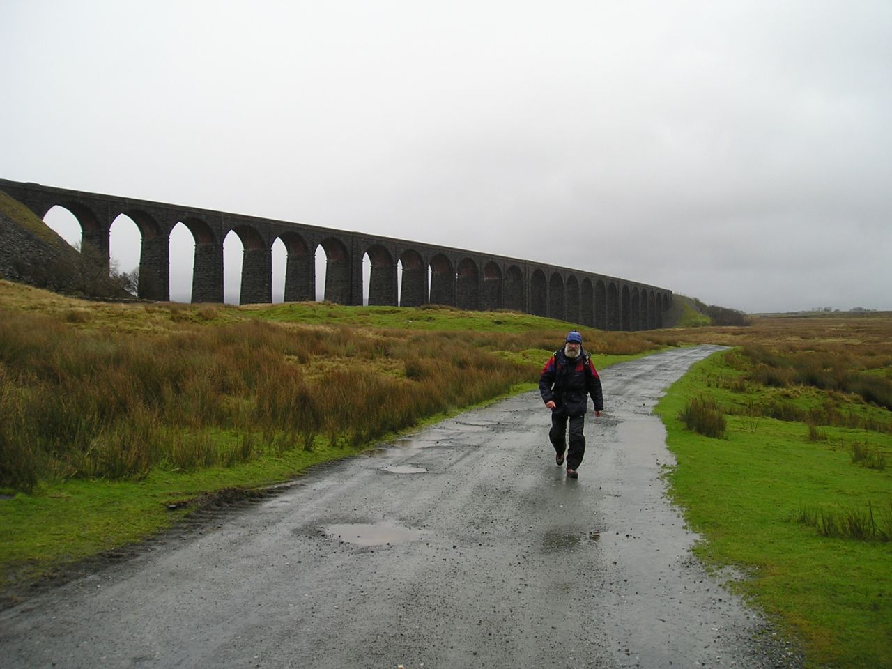
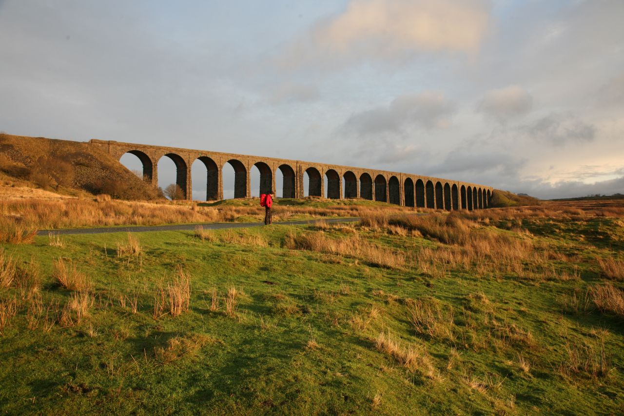
Looking down to Ribblehead and the railway viaduct (JB)
Back in the valley ….

…. with journey’s end ahead (JB)
We reached the top and carried on down the other side, following part of the route that John and I had taken a week earlier. The day was drawing on, so the shorter route back to Ribblehead by the old bridleway was the best option. As we arrived back at the start point, the light was starting to go, but the day had been the best so far.
Catching the last of the light …. (JB)

…. as the sun went down (JB)
That was four of the six routes completed, three within the space of a week. The main challenge remaining was finding a solution to Route 4 that avoided the bogs of Todber Moss, but with Christmas fast approaching it looked as though that wouldn’t happen until the New Year.
To be continued.
Text and images © Paul Shorrock except images tagged (JB) © John Bamber


I fancy Force Gill as a way up sometime (not that I get to the Dales much now).
We went in the pub once at Chapel on our way between Whernside and Ingleborough. The barmaid/landlady exclaimed in horror:
“Oh! muddy boots! no!”
Silly mare! Wouldn’t have minded so much but what did she expect between 2 peaks on the 3 peaks route and the floor was flagged anyway so would just mop clean!
LikeLike
You know what?! I’ve never gone up by Force Gill – I always just follow the RoW path! I need to get out more!
The Hill Inn is definitely ‘up itself’ nowadays – I used to alternate between caving and climbing in the 70’s, and the ‘Hill’ was our base for a long time. Beer fights were quite common and we learned the concept of throwing the beer upwards so that after the initial drenching, the victim would continue to collect the drips from the ceiling. I can’t remember if it was there or the Old Dungeon Ghyll where you would ask for a pint of ‘CB’ or ‘DB’ – ‘CB’ was ‘Cheap Beer’ and ‘DB’ was ‘Dear Beer’, but it also stood for ‘Chucking Beer’ or ‘Drinking Beer’!
Despite the unruly behaviour, we were only thrown out once, after my then brother-in-law broke a chair by jumping on it during an obstacle course followed by putting one of the low stools on the fire! We came back the next week with the damaged furniture restored and were allowed back in.
If you can be bothered, follow the link below for an excellent film from the 70’s featuring what was then the worlds longest cave dive – the video is about 50 mins long (and worth the watch if you have time) but if you’re busy, go straight to 23:47 on the counter for a glimpse of the Hill Inn in much more raucous days! My caving club was involved both in the pub and out on the fell during the dive – there’s a brief glimpse of my head in the pub sequence!
LikeLike
Oh My God! I wish I used to go out with you guys. ‘Smacked Pentax’ who’s blog I used to follow (not sure if he still blogs though) was in a potholing club and they used to have similar escapades. Great fun!
Was a bit similar in the Army at the Christmas Dinner – they used to have a huge food fight afterwards. I used to get under the table when the brazil nuts, complete with sharp-edged shells, came hurling hard across the room and slammed into things!
LikeLiked by 1 person
Haha – happy days! I seem to remember James (Smacked Pentax) telling a tale about bacon being cooked on a gas stove in a moving car!
Don’t get me going on the state of the vehicles we used to drive – my mate’s van had brakes that didn’t (if you get my meaning) and on trips involving steep hills, such as the Coal Road out of Dentdale, the front passenger held a large rock to shove behind the front wheel if they had to stop for oncoming traffic!
Not sure about the brazil nuts though – as my mum would have said, “You’ll have someones eye out with those!”
LikeLike
First thing I do when I’m living in Yorkshire again is the Yorkshire 3 peaks challenge!
LikeLike
Magic! The guidebook is reaching the end of its lifetime now, but I have some copies left – if you fancy the Challenge walk, PM me with an address and I’ll send you a copy.
The current Y3P Project blog has two more episodes to run, the next one next Monday, but if you get bored during lockdown there are quite a few posts on hiking in Yorkshire in the blog.
LikeLiked by 1 person
Ooh that sounds fantastic. Totally up for that. I’m new to WordPress so will work out how to PM first.
LikeLike
Pingback: #273 – Diary of a project – The Yorkshire Three Peaks Challenge guidebook (Part 4) | Paul Shorrock – One Man's Mountains AKA One Pillock's Hillocks