

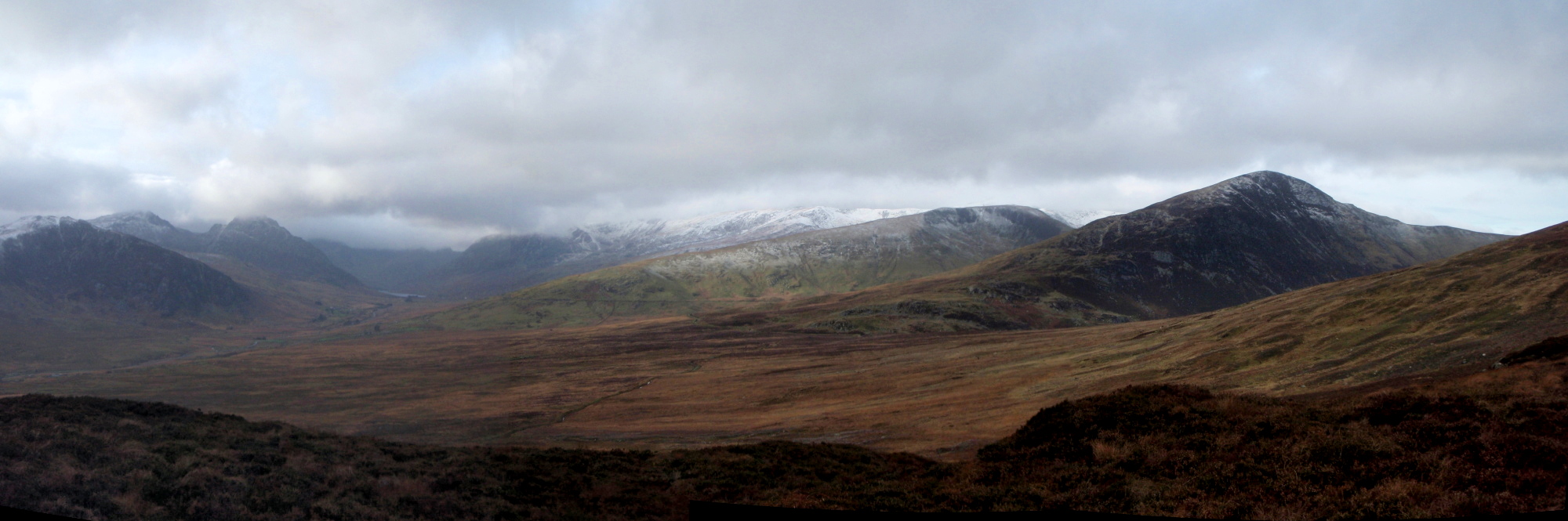
Winter arrives at last in North Wales – Ogwen Valley and the mountains of the Glyderau and Carneddau

Outward route – dashes / Intended route – dots / Return variation – dashes and dots
When we look back on 2014, in North Wales we will remember the wettest August for a long time, followed by a prolonged spell of warm, settled weather. Then, just a week ago, winter arrived, and not before time, because some of us have ice-axes, skis and other toys to dust off. It was only a hint of what may be coming, but good to see.

Looking back to Capel Curig, just after setting off

Border Collie ‘Mist’ behind ‘The Pinnacles’ at Capel Curig
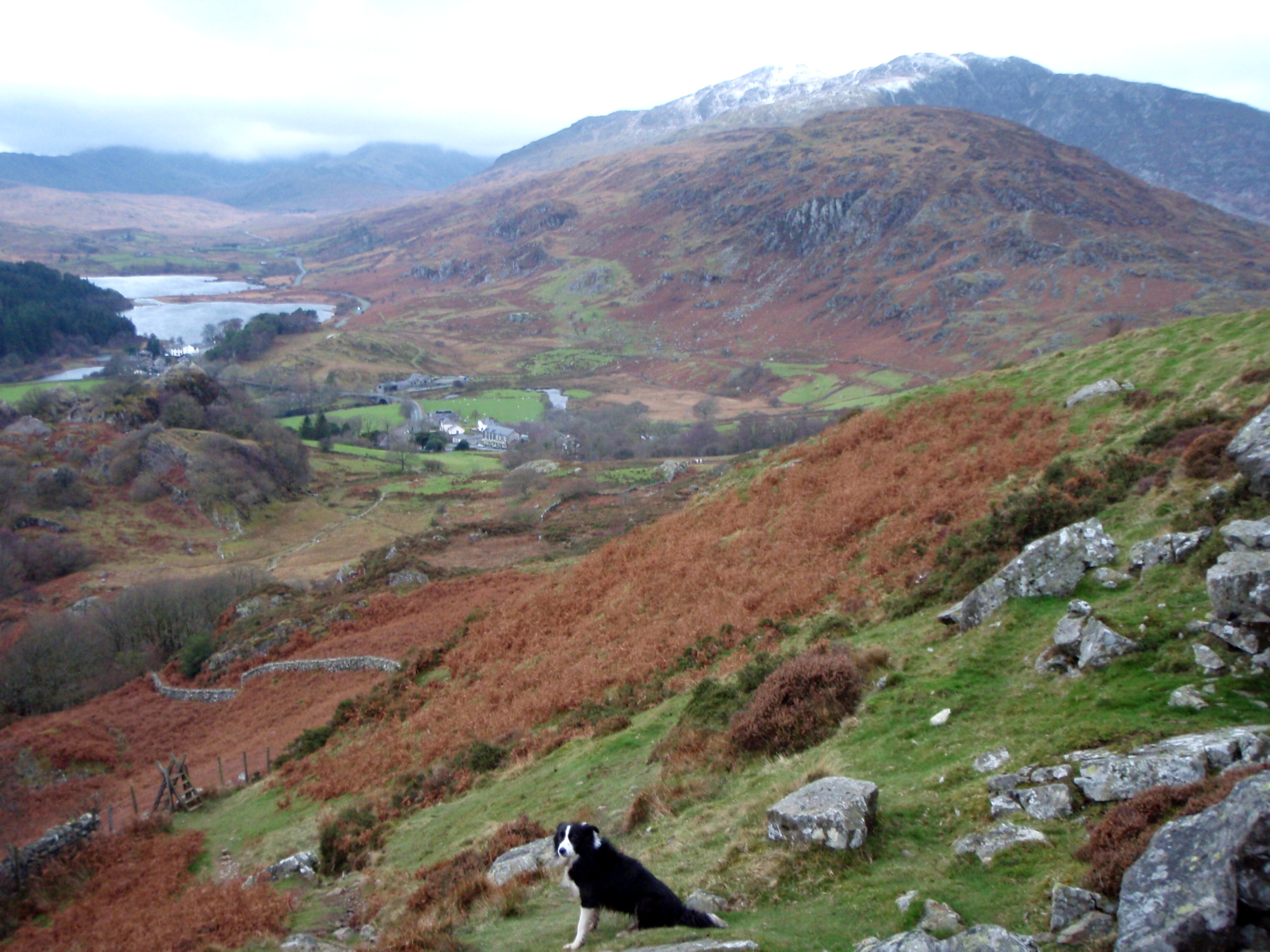
Looking back to Moel Siabod as we set off ….
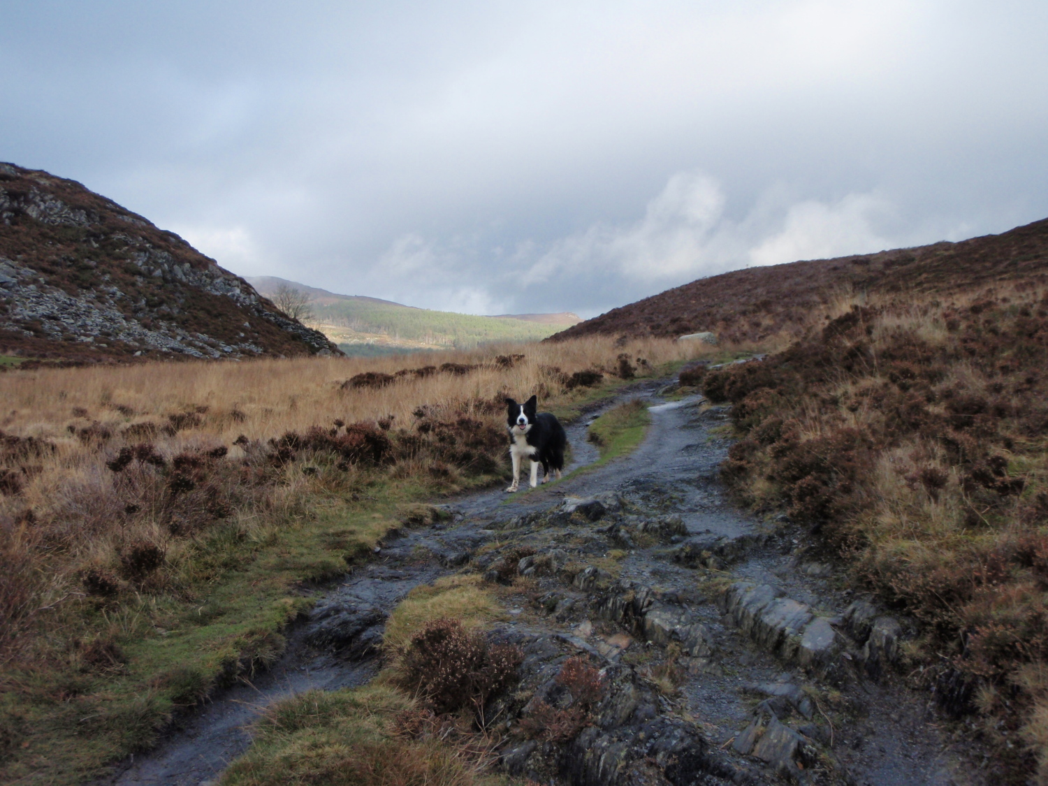
…. and ‘Mist’ waiting, not very patiently, as I take photographs

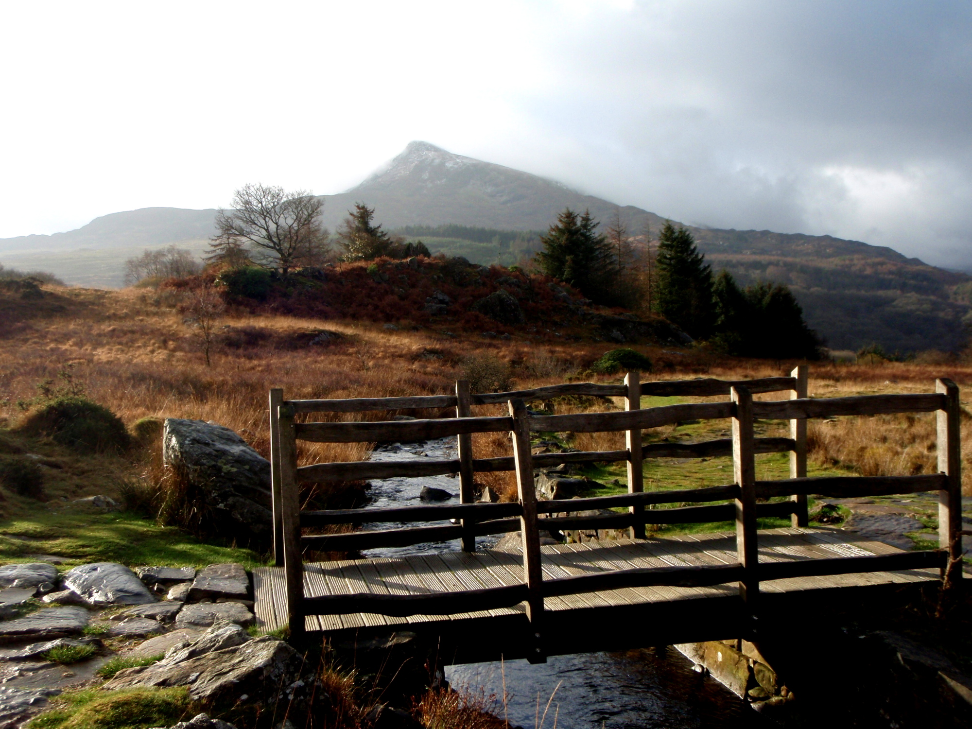
The path from Capel Curig to Trefriw
I’d decided on a route in the hills north of Capel Curig in North Wales – they are part of the Carneddau mountains, but the Llyn Cowlyd Reservoir cuts these hills off from the main Carneddau plateau. The plan was to take in the highest summit, Creigiau Gleision, via Crimpiau and Craig Wen and then to return by the shore of Llyn Cowlyd. The wind speed was forecast to be high and increasing as the day progressed, with gusts up to 70 MPH.

The first summit ahead – Crimpiau

Getting closer to the summit of Crimpiau

Llyn Crafnant and Allt Goch from the summit path of Crimpiau

The summit gets nearer
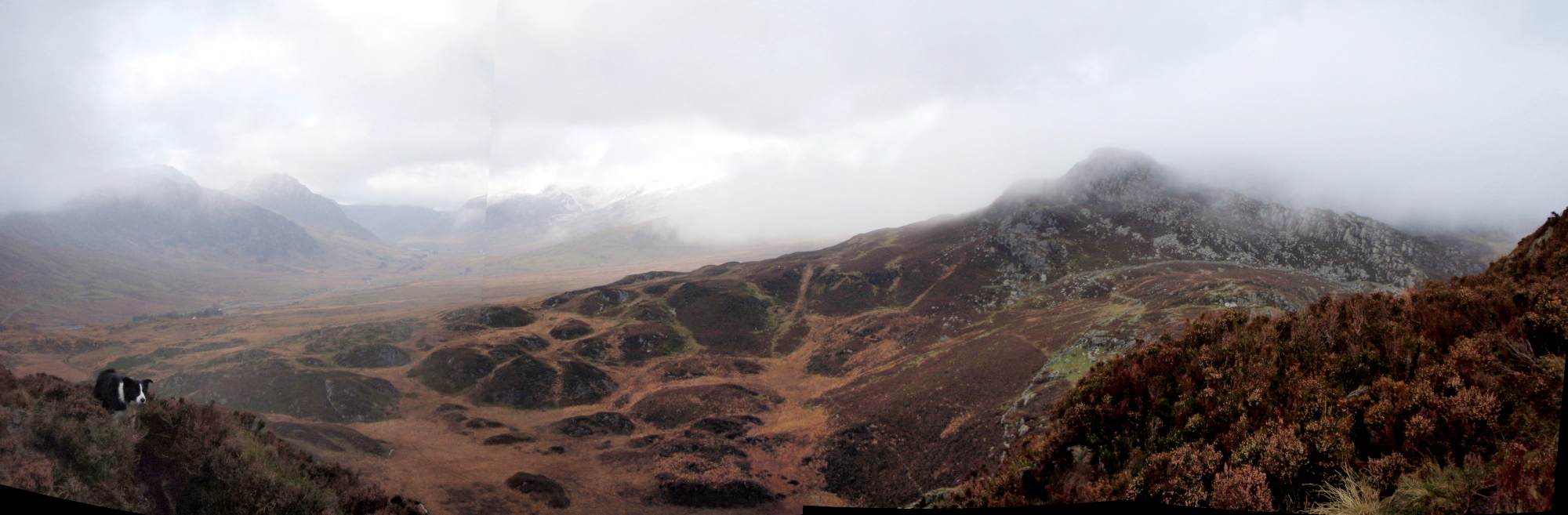
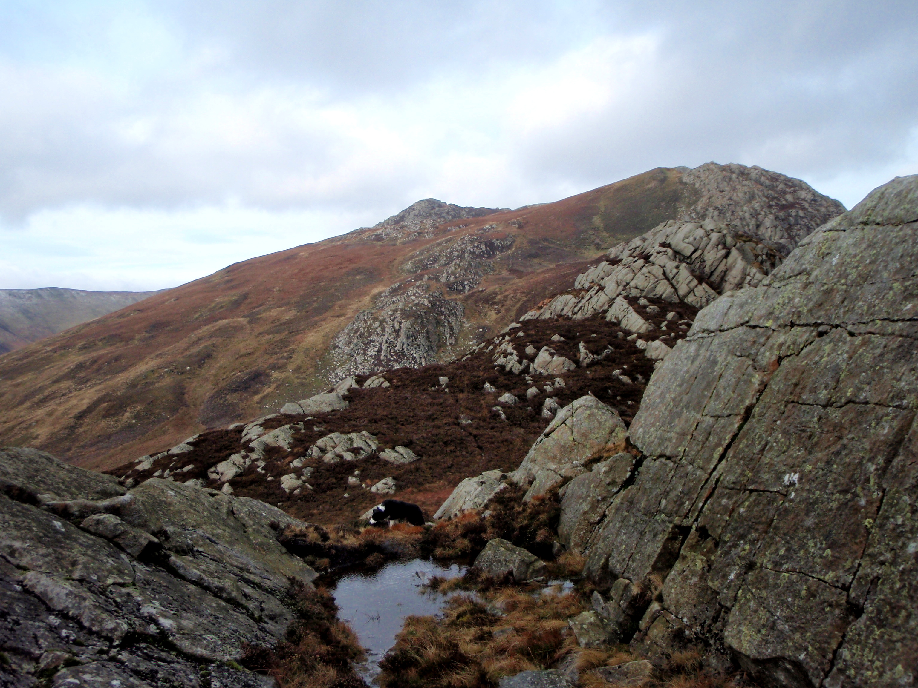
Looking ahead to Craig Wen, the next peak, with Tryfan in the distance on the left
I set out knowing that a retreat was possible. As well as the forecast of high winds later in the afternoon, the ground conditions were not good. Over the summer the mountains have been so dry that on occasions I’ve had to hunt out water for ‘Mist’ on the high plateau of the Carneddau – on this trip almost every step was a puddle, and boggy ground made progress even slower than expected, but despite this I made steady progress.
Craig Wen getting nearer
Tryfan and the mountains of the Glyderau (left) and the Carneddau (centre and right)
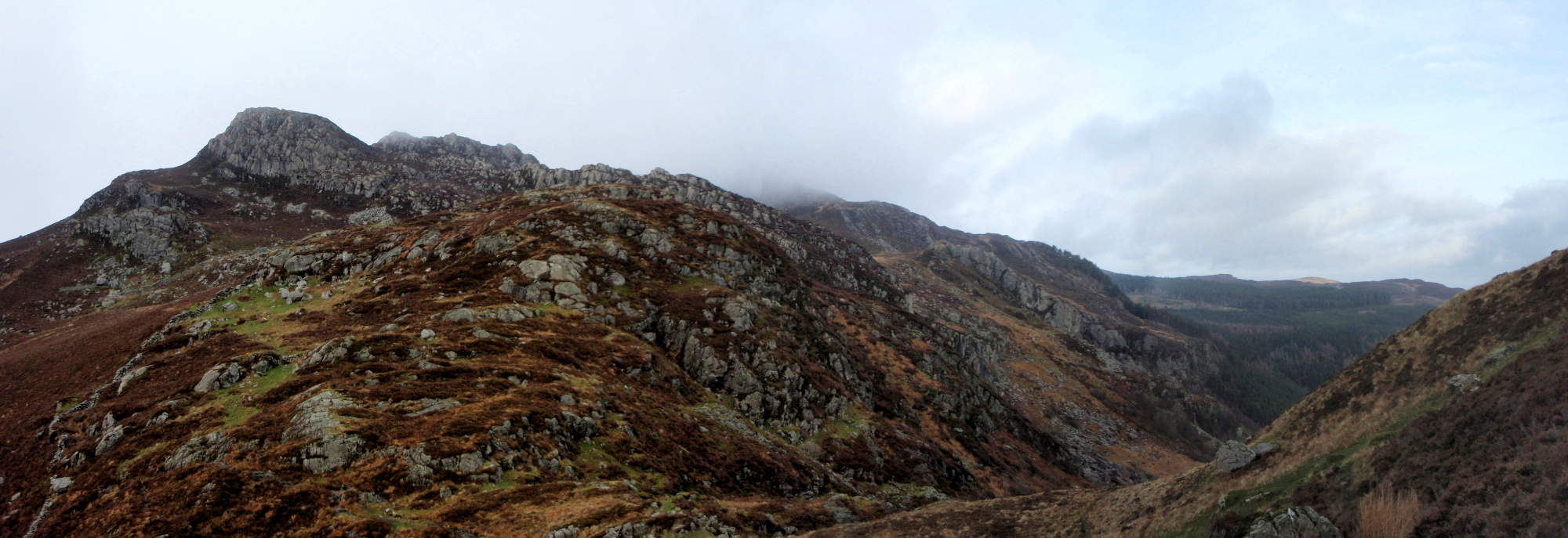
Looking north from Craig Wen

Looking back to Craig Wen on the approach to Creigiau Gleision

The mountains of the Glyderau, with Tryfan (on the right) now more obvious
As I approached Craig Wen it became obvious that the wind speed was beginning to increase as forecast. The decision to turn back or carry on had to be made. I was certainly going to be able to clear Creaigiau Gleision in time as the wind was on my back, and the return was on low ground by the lake – my concern was that the valley would act as a wind tunnel, with the wind directly against me. A finish in the dark would also add to the fun.
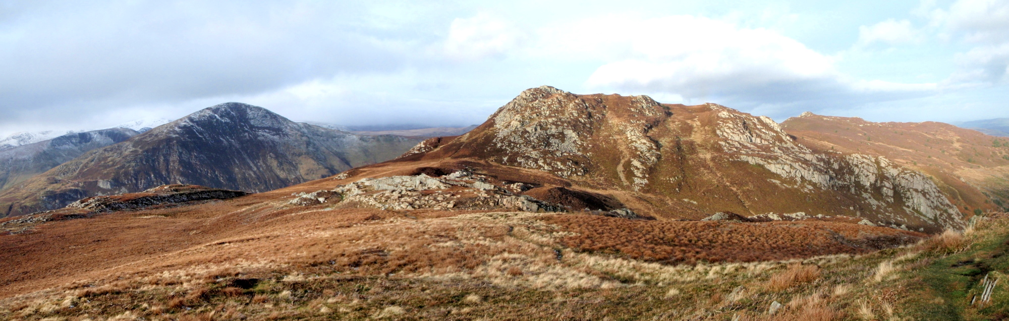
Creigiau Gleision in view on the right with Pen Llithrig y Wrach on the left

Heading back towards Craig Wen after turning back

Crimpiau – my return route went right towards the small lake on the ridge
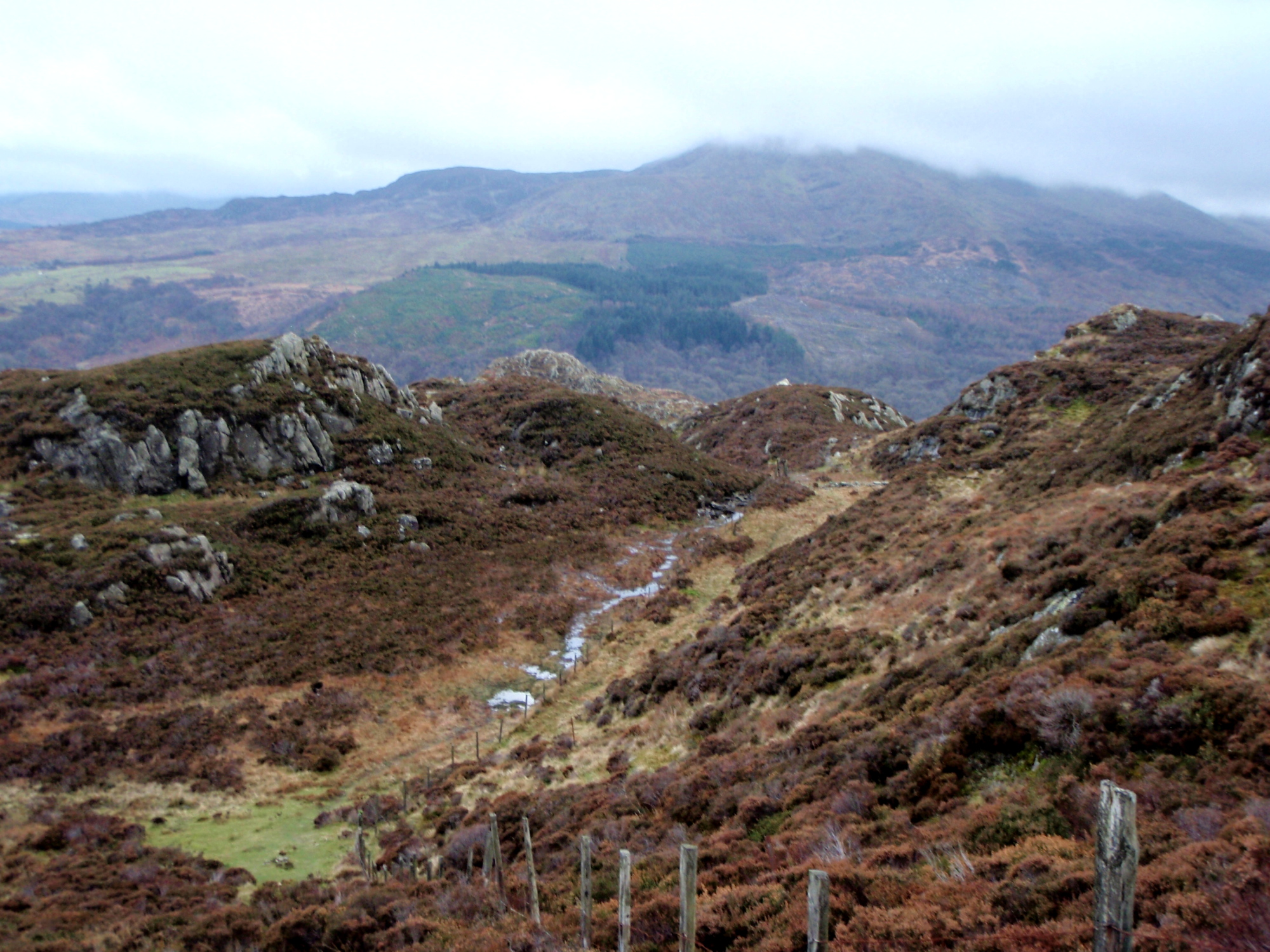
Wet, muddy paths on the descent
Looking down to Capel Curig
As Creigiau Gleision came into view, I turned back. I could have continued and possibly had a bit of an epic, but nowadays I usually blunder into an epic rather than seeking one out. I took a slightly different way back down Crimpiau and in doing so managed to find more bogs that I had missed on the outward leg! I’ll be back though – I’ve walked most of the Carneddau now, and I need Craigieau Gleision to complete the set.

Down at last, and heading for home
Text and images © Paul Shorrock


Seems like there’s an awful lot of wet, boggy stuff around at the moment 🙂
I always say I love really windy days, but there is definitely a point at which it becomes too much and retreat is the most sensible option!
LikeLike
I think a sharp cold spell lasting a couple or three months would be the way forward, followed by instant summer 🙂
LikeLike
What a superb set of photos Paul. You really bring out the beauty of the mountains. Capel Curig is one of my favourite places in Wales and I love the whole area. Fantastic!
LikeLike
Cheers SP – it’s a great place indeed!
LikeLike
I was wondering about the ‘3 tracks’ – I now see that your dotted one is where you were going to go. I did the loop you wanted to do a few years ago and was dive-bombed by some bird of prey. I’m pretty sure it was just practising. I heard a whoosh and saw something just miss my head and go straight back up again. I’m sure if it had wanted to hit me, it would have.
Carol.
LikeLike
I wondered if the three tracks might cause confusion 🙂
Your dive-bombing bird was probably grounded by the wind on my trip carol 😀
LikeLike
If I’d known wind would ground it, I’d have farted at it! 😉
LikeLike
The best thing about turning back is that you still have it to look forward to another day 🙂
Great set of photos – I particularly like the ‘Looking ahead to Craig Wen..’ one with Mist lurking on the edge of the scene. Actually I was thinking about you last weekend when Countryfile were in the Clwydian Hills.
LikeLike
Ta V much 🙂
It doesn’t take me much longer to get to Capel Curig (55 mins) than to Moel Famau in the Clwydians (40 mins) – so much to do, etc ……..
LikeLike
Superb photography, Paul. I made a complete pig’s ear of this route when I walked it a few years ago. I struggled to find the style that got me over the wall in the small copse of woodland where the ‘path’ starts to head north towards Llyn Coryn. Thankfully things improved thereafter. I completed the circuit coming back down the west side of the reservoir, but the start of the path down to the northern end of the reservoir was a lot further NE of the northern end of the reservoir than I had expected. And the paths over the hills are not marked on the 1:25000 map that I had. An interesting day on my own, accompanied by colourful language at times.
LikeLike
Pingback: #173 – | Paul Shorrock – One Man's Mountains AKA One Pillock's Hillocks