For the best viewing experience, left-click the images and maps to zoom in to a new window, then exit that window to go back – go on, it really does work!
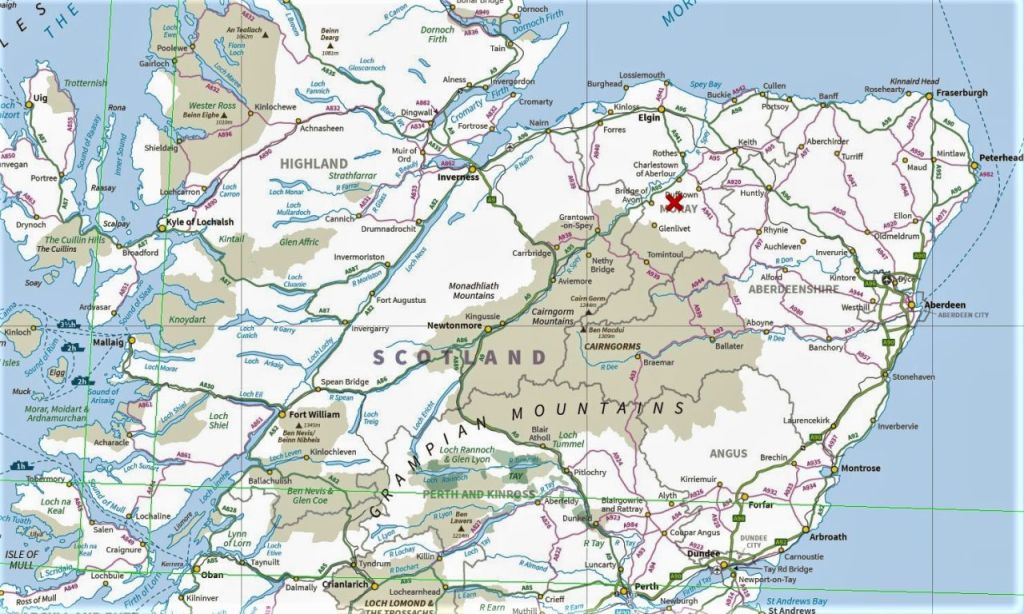
If the mountains are one of the main attractions bringing visitors to the Cairngorms, there is keen competition in the Spey Valley, especially for those who like a drop of the ‘uisge beatha’ or ‘water of life’, otherwise known to most of us as whisky. It seems that every village in Speyside includes the name of a famous single malt whisky – it’s a whisky-lovers paradise, though when it comes to single malt whisky, I’ve got to say that I’m more of a fan of the peaty West Coast version.
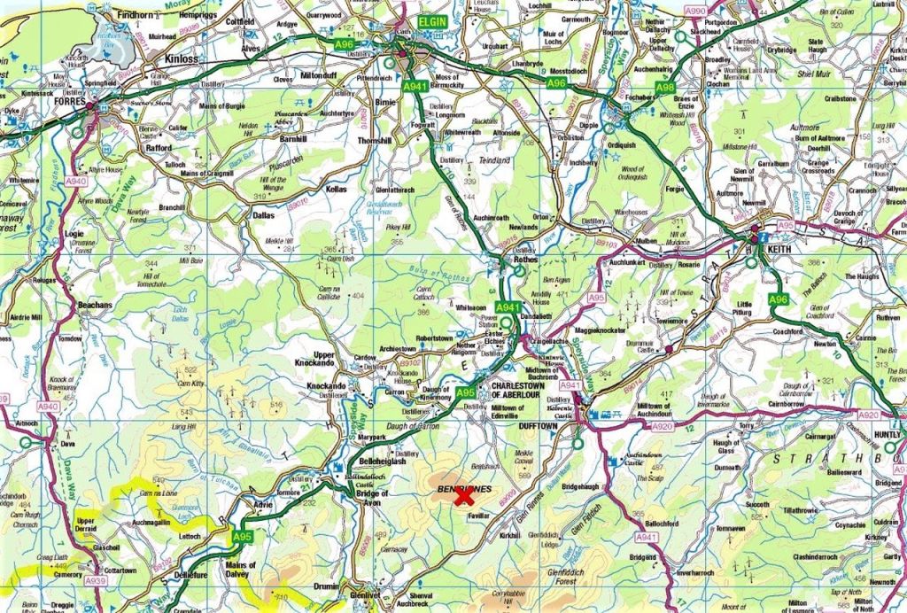
I prefer my single malts without added water, and that’s pretty much my preference for my mountain walking days as well. On our Scottish trip of September 2022, there had been more than enough water, and we had bailed out from the delights of the soggy West Coast and headed east to the Spey Valley. Speyside may be the home of some of the most popular single malt whiskies in the world, but it is less well known for its mountains – except for Ben Rinnes, that is.
With a height of 840 metres (2755 ft), Ben Rinnes isn’t exactly a lofty peak, but it’s a popular one. We had arrived at the start point for the hike back in mid-September 2022, but even as we started tying boot laces, the rain that had chased us east caught up with us – we gave it up as a bad job and headed for the coast and ‘Bow Fiddle Rock’ instead (see post #331). Then, in April 2023 we were back at the same car park, but this time with clear blue skies – it looked like it was ‘game on’!
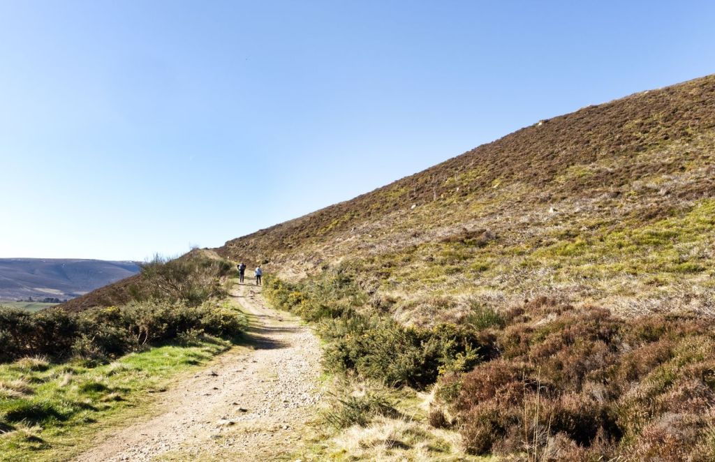
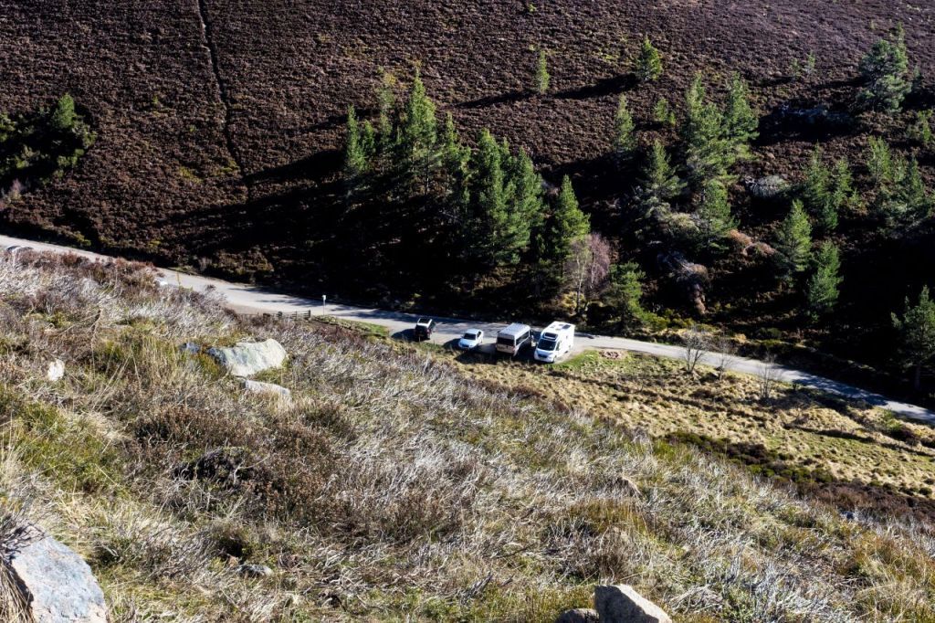
On our 2022 visit, we found the car park at the start point to be very small, not that it mattered because there were no other vehicles there – news of the approaching bad weather must have put folk off. On our revisit, we discovered that the parking area had been extended, making life easier all round – it also meant that there was enough room to overnight with the camper, without hogging scarce parking space, placing us ready to start up the hill early next morning.
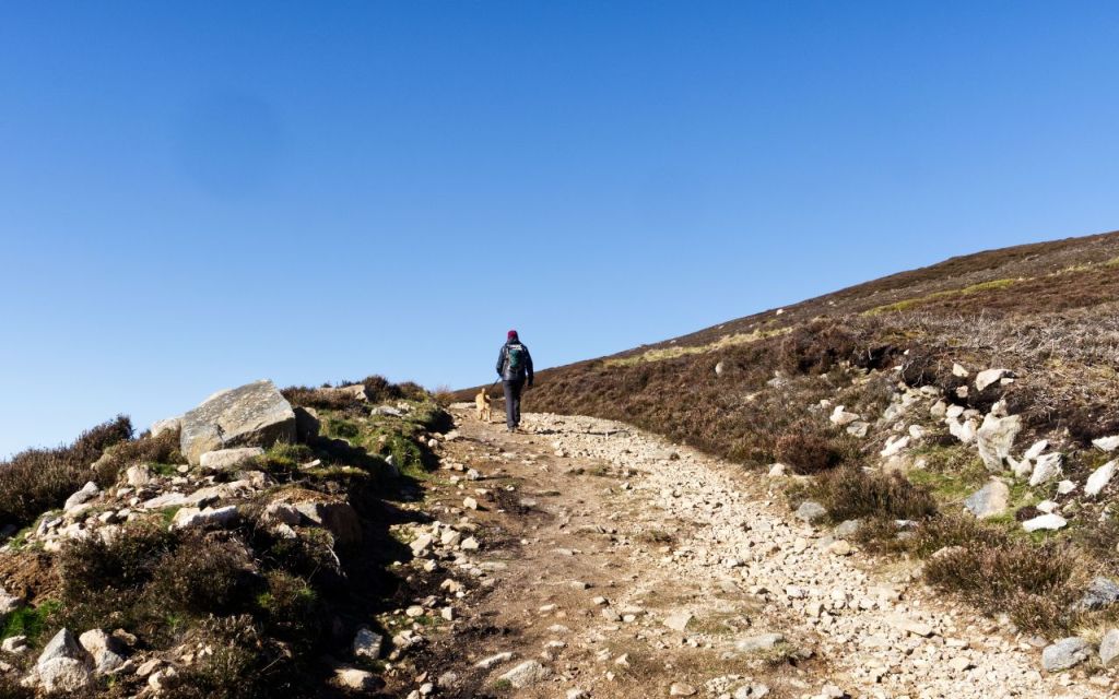
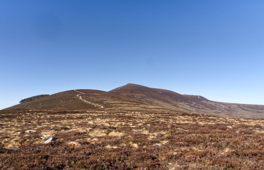
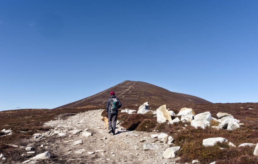
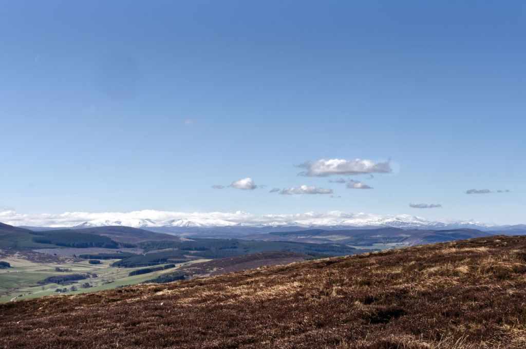
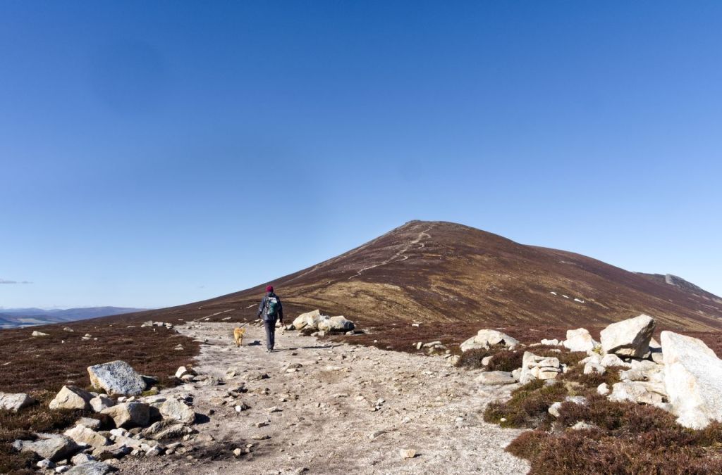
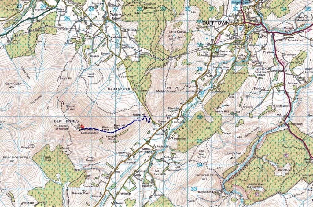
The track from the car park was wide and made for easy progress. A couple of zigs and zags took us up the side of Round Hill followed by steady progress along the broad ridge of Roy’s Hill. ‘Cai’, our Labrador-Poodle cross, was a bit steadier on the lead than on the Creag Bhuidhe walk a couple of weeks earlier (see post #334) but like all youngsters, he wanted to be ‘there’ immediately, wherever ‘there’ was! For the humans, there were superb views of the snow-capped Cairngorms, just 40kms (25 miles) to the southwest.
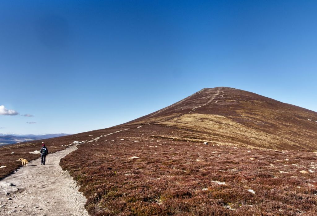
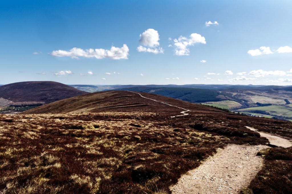
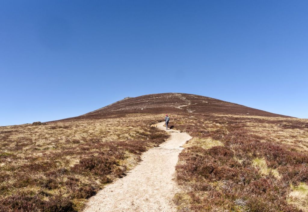
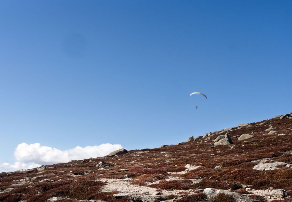
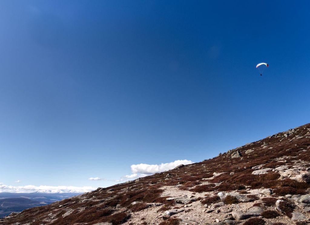
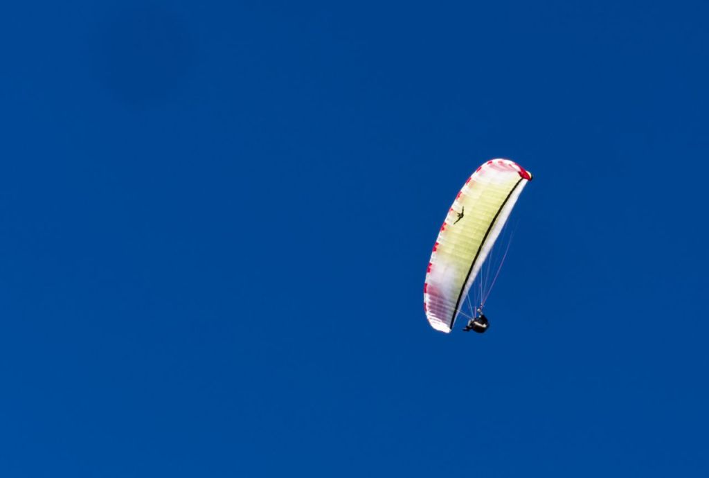
The final slopes to the summit were a little steeper but not unpleasantly so, and the zig-zag path made life easier. We soon realised that we had company – a paraglider pilot was making good use of a steady breeze to gain some soaring height. About 500 metres to the north of here was the site of a WW2 air crash – on 14th November 1943, a Wellington bomber from RAF Lossiemouth crashed into the hillside whilst on a navigation exercise, killing the crew of two. We didn’t have time to visit the site but settled instead for watching the paraglider head east into the valley below.
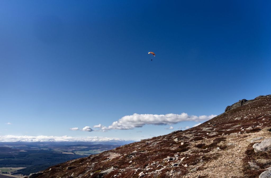
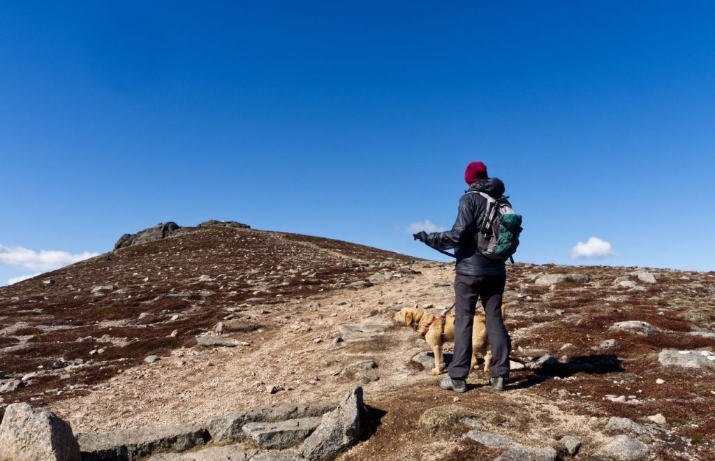
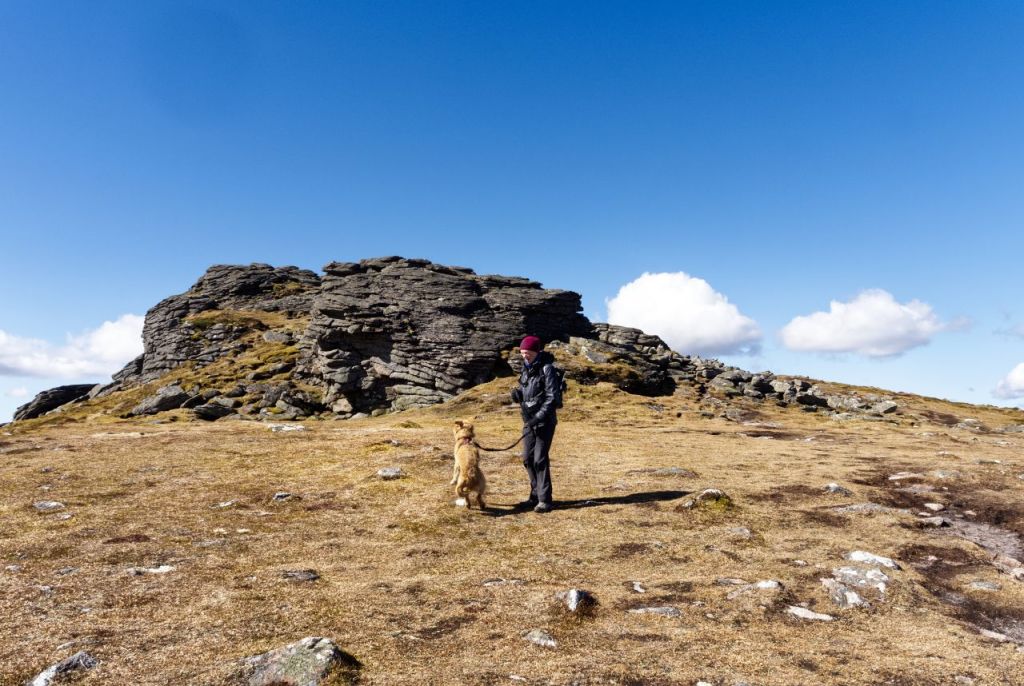
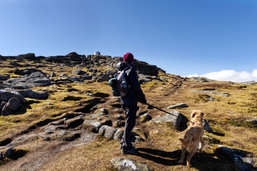
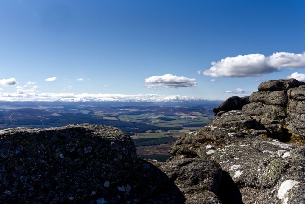
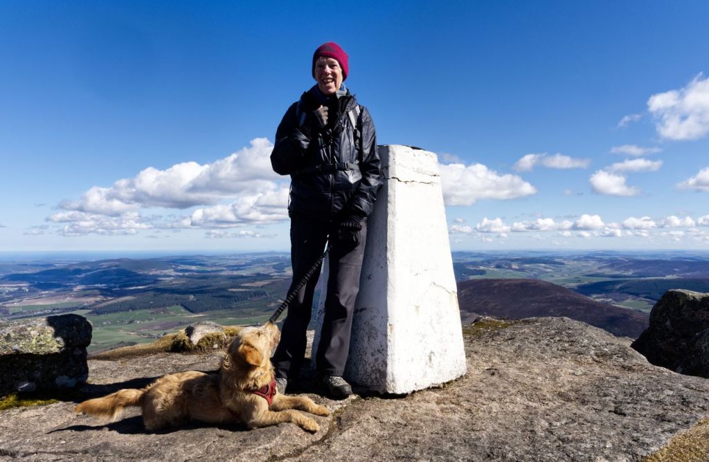
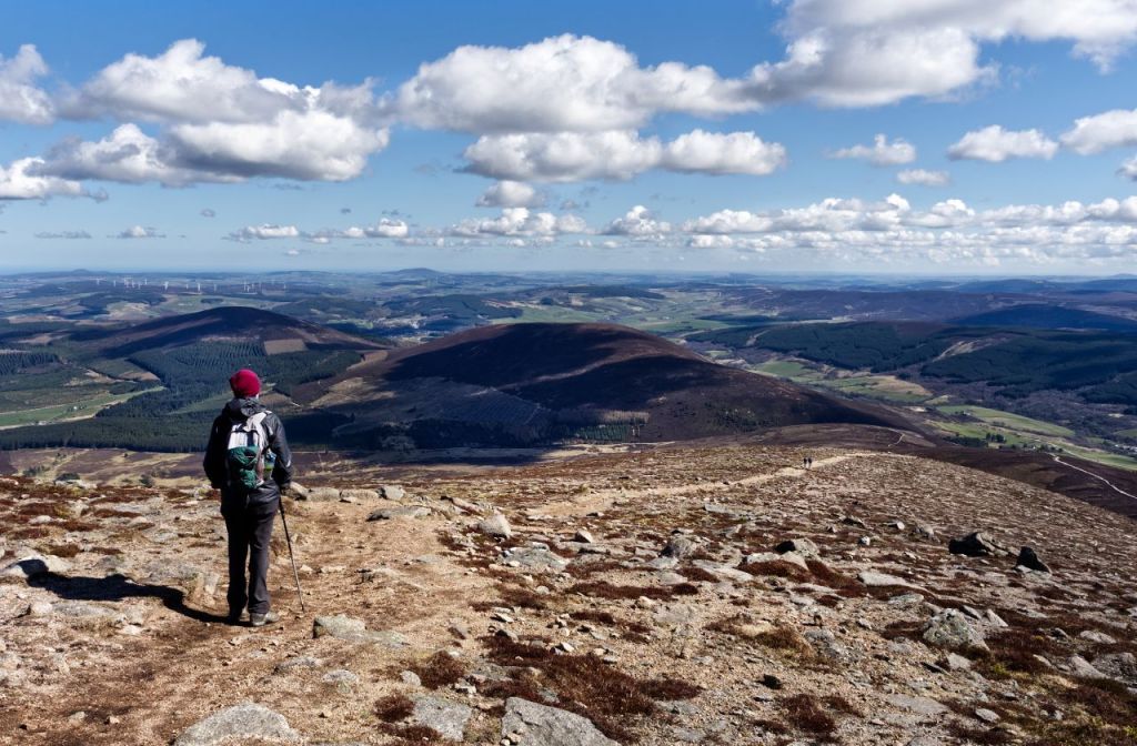
The summit of Ben Rinnes is a small granite tor, giving all-round views, with the distant Cairngorms being the main attraction. Having done the usual ‘summit stuff’ it was time to retrace our steps to the start point. Walking downhill is supposed to be easier than slogging uphill, but energetic young ‘Cai’ was going for an attempt on the fastest trip up and down the mountain – he would probably have achieved it if he hadn’t had the handicap of a slow-moving human holding him back!
Text and images © Paul Shorrock


Looks like we could have done that when I was trying to get back from Scotland and got routed off the A9 and round via the Aberdeen roads on the last trip!
I couldn’t do an out-and-back – the track down the far end and back underneath looks tempting – how long a walk would that be approximately? I’m pretty sure that’s the route I’d go for… It looks a nice hill anyway and the weather is almost always better on that side of Scotland.
LikeLiked by 1 person
I’ve got to confess that I went for an easier option due to the problems of controlling an over-exuberant young dog!
My original plan was to head northeast from the summit, to try and locate the crash site of the Wellington aircraft, which is somewhere near the two streams shown on the map in that direction. From there, I would have carried on down to the Landrover track to return that way.
Whatever, I’m sure you could make a circular route of it, and as you point out, the weather is often better on this side of the country. Plus, fewer midges!
LikeLike
I wondered if the new/young dog was a factor
LikeLike