
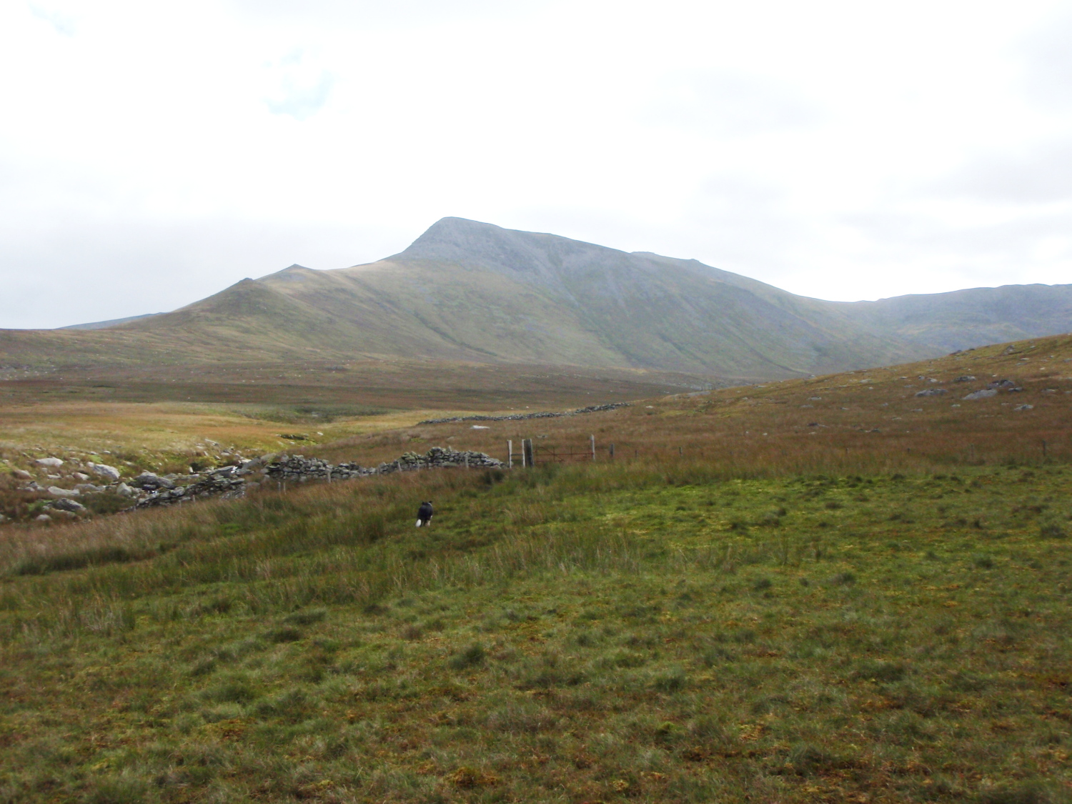
Carnedd Dafydd seen from the north
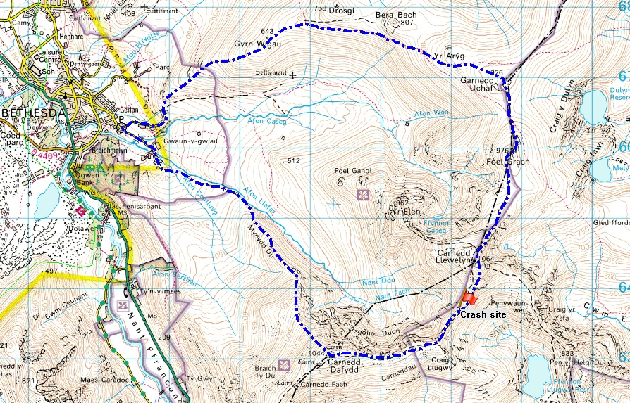
The route, including the location of the air-crash site
The mountains of the Carneddau in North Wales are a fairly recent obsession for me – when I first walked here, I started by checking out the main summits (as you do) then began exploring odd corners where people tend not to go. But sometimes I feel the need to stride off across the heights, and this was one of those days.
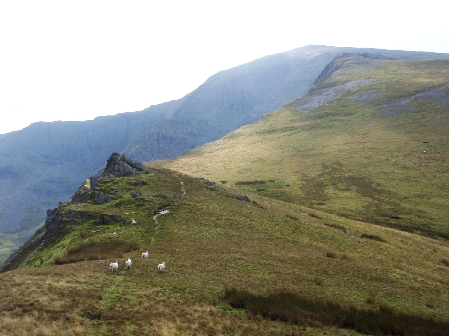
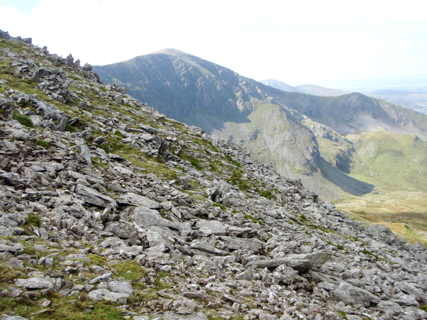
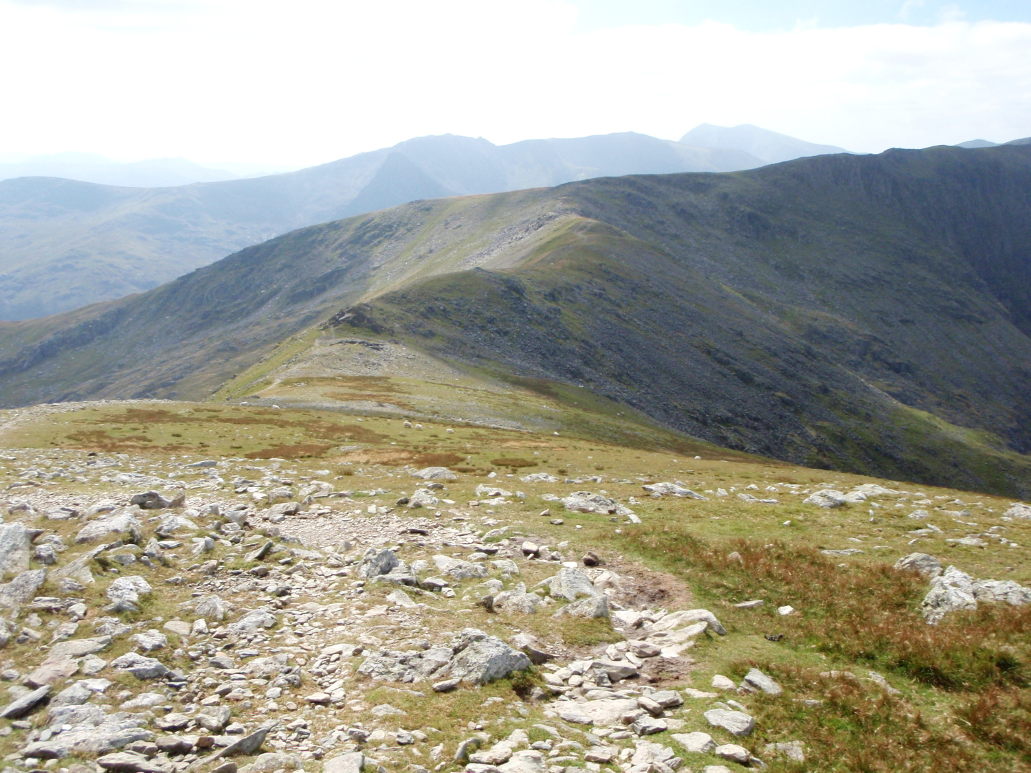
On Mynydd Du, the broad grassy Northwest Ridge of Carnedd Dafydd
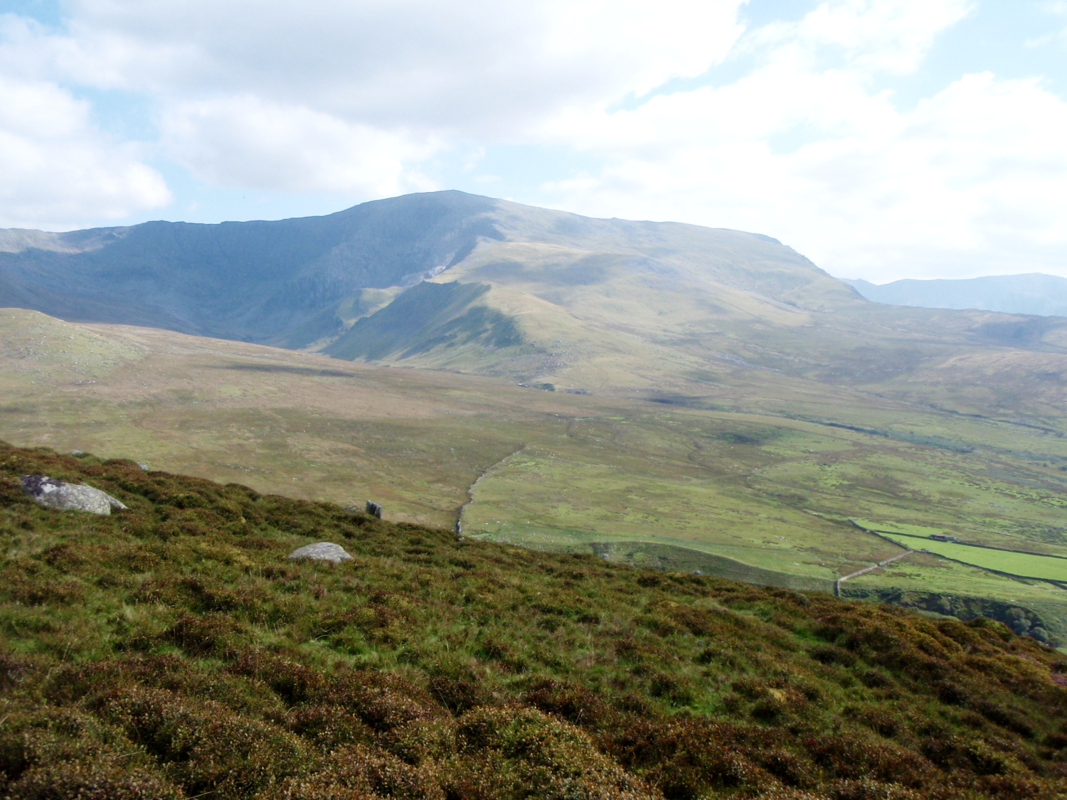
Looking east towards Yr Elen ….
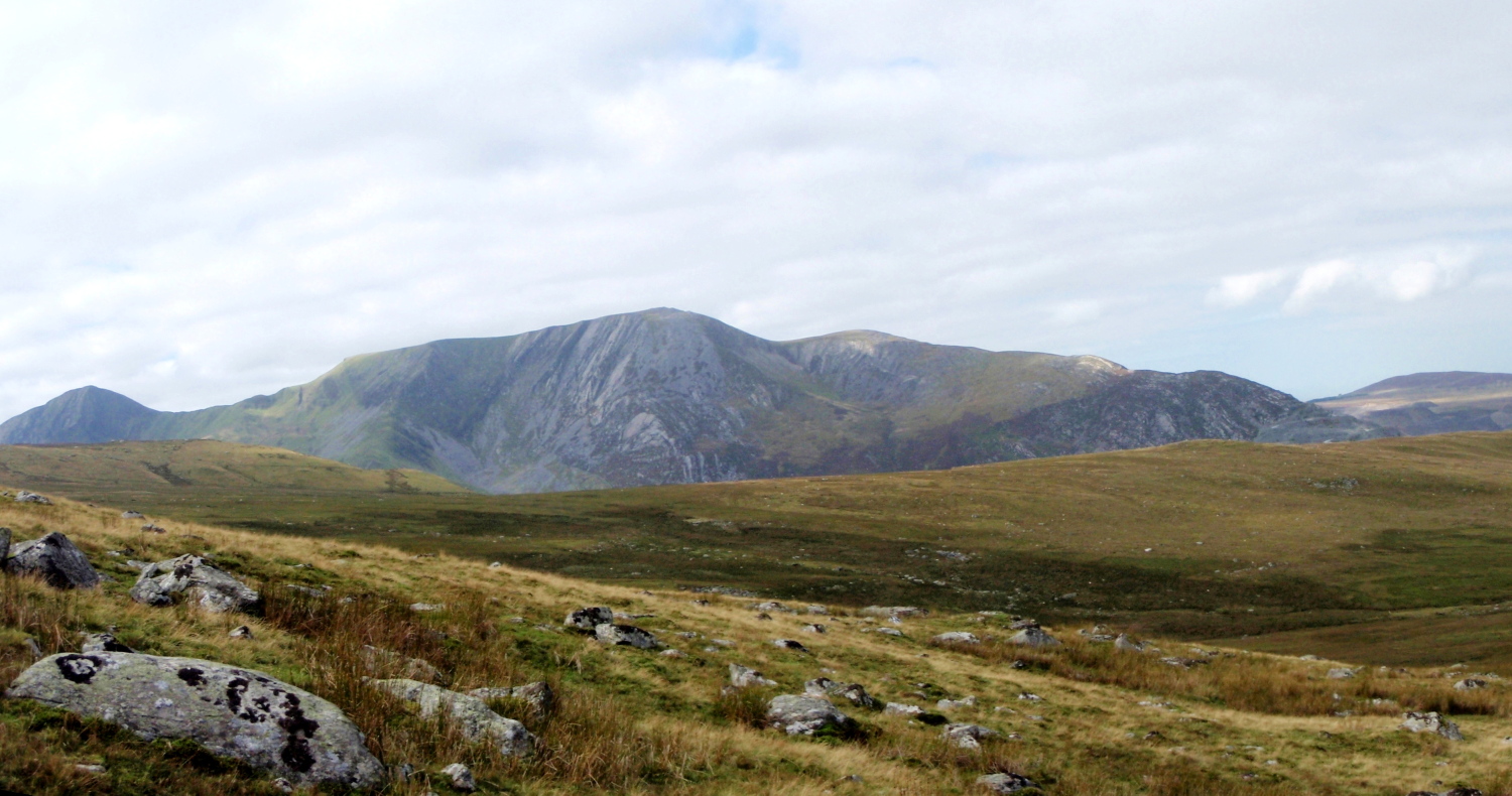
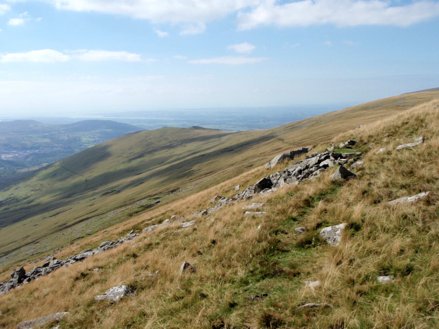
…. and the view southwest to the mountains of the Glyderau
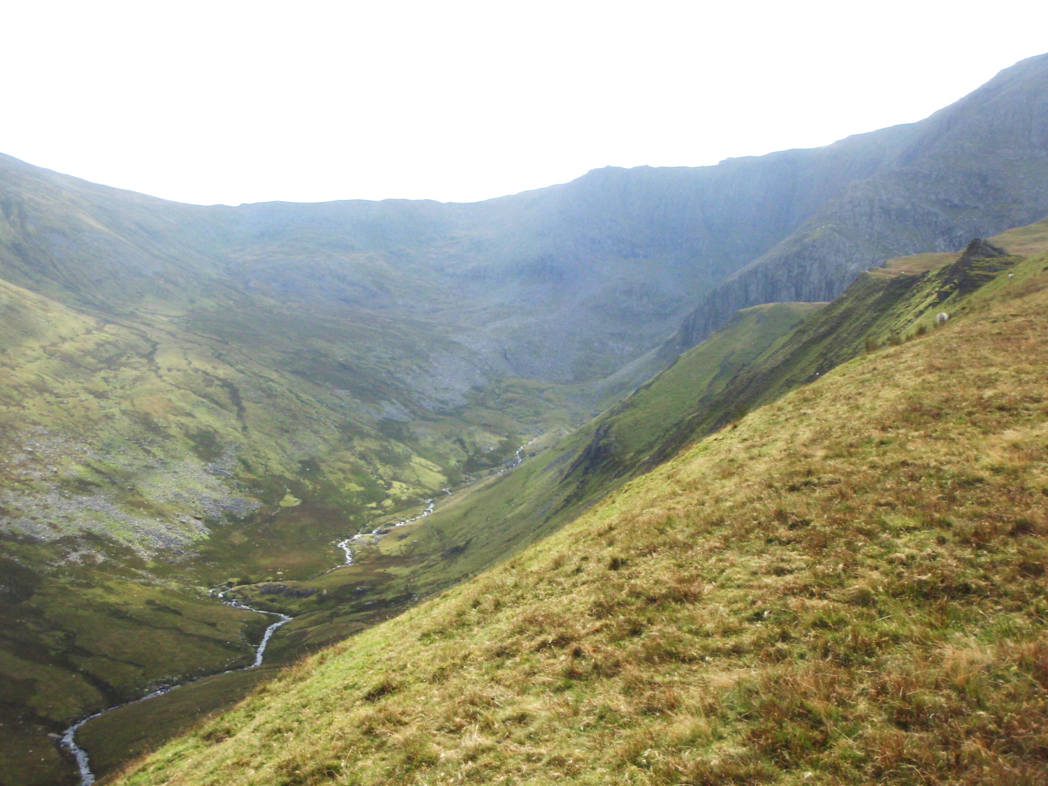
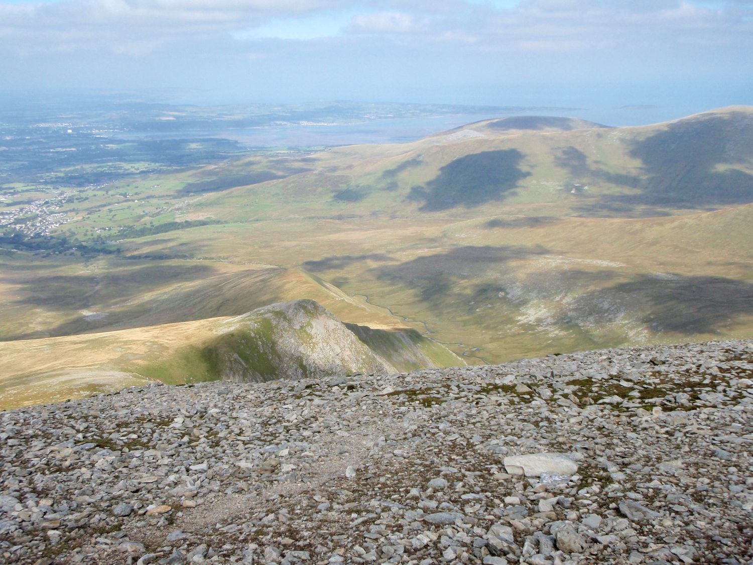
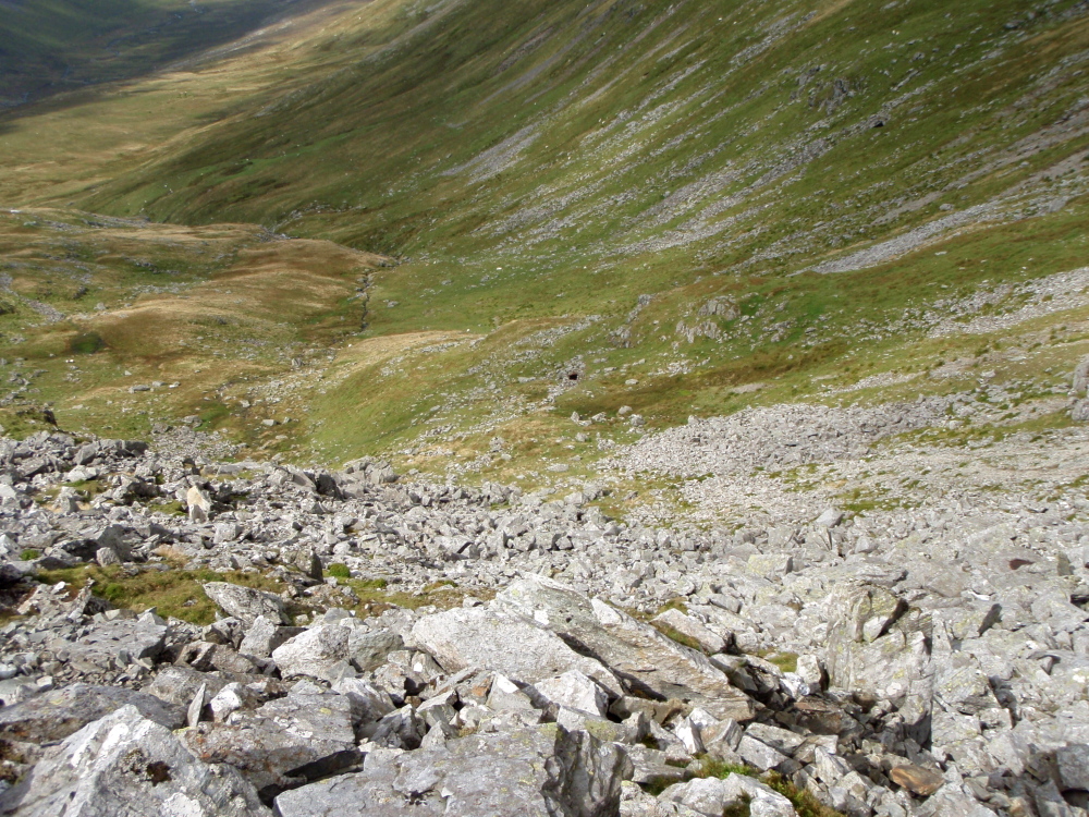
Looking down the steep slopes to the river below (Afon Llafar) ….
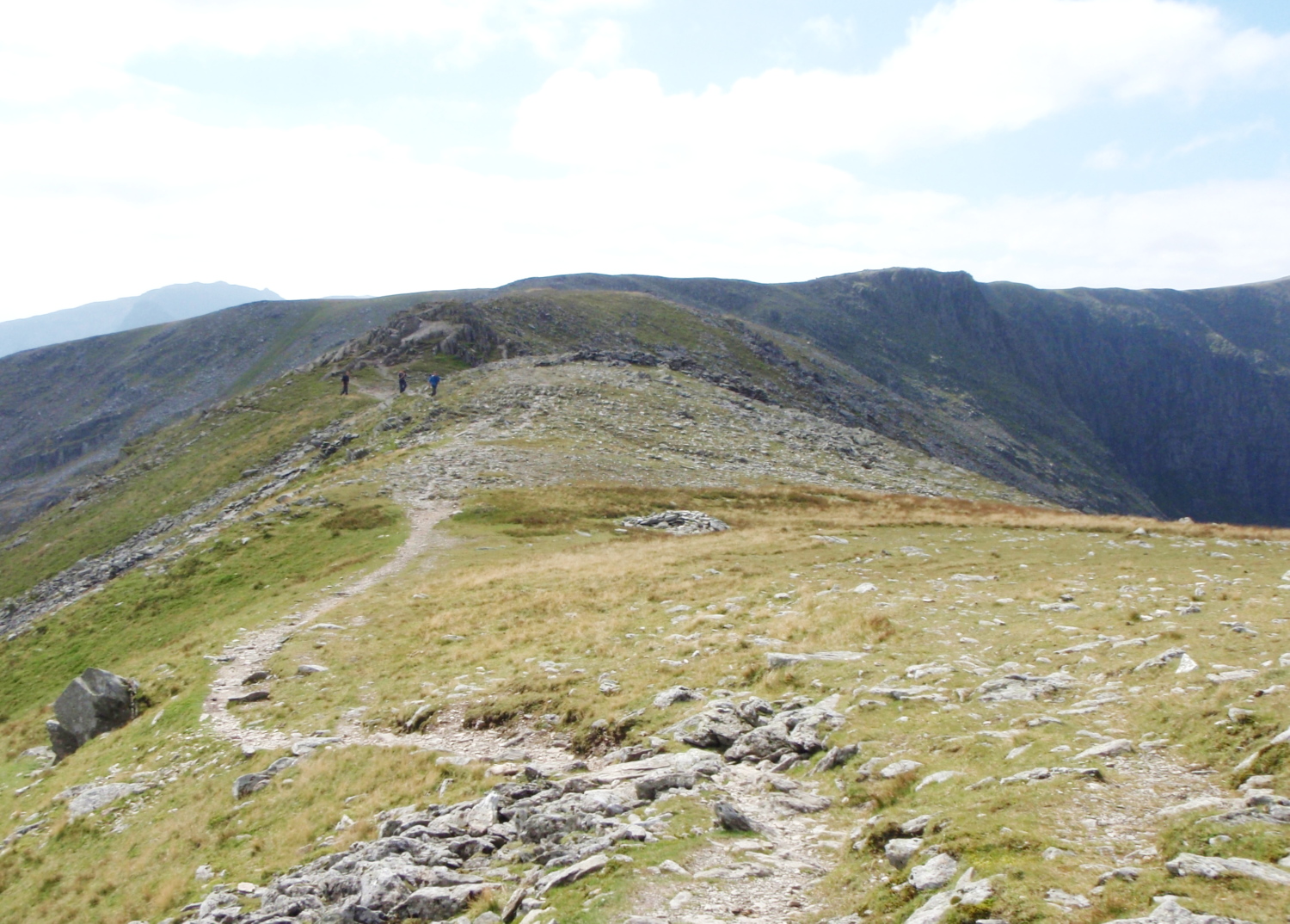
…. and the view back down the ridge
The Carneddau are not glamourous, exciting hills like the Snowdon Range or Glyderau, but they have their moments. The mountains may lack the sharp, knife-edge ridges of the other ranges, but they are huge in area, and these mountains make up the largest land mass higher than 750 metres (about 2500ft) south of the Scottish border. A walk here is usually going to be a ‘biggy’!
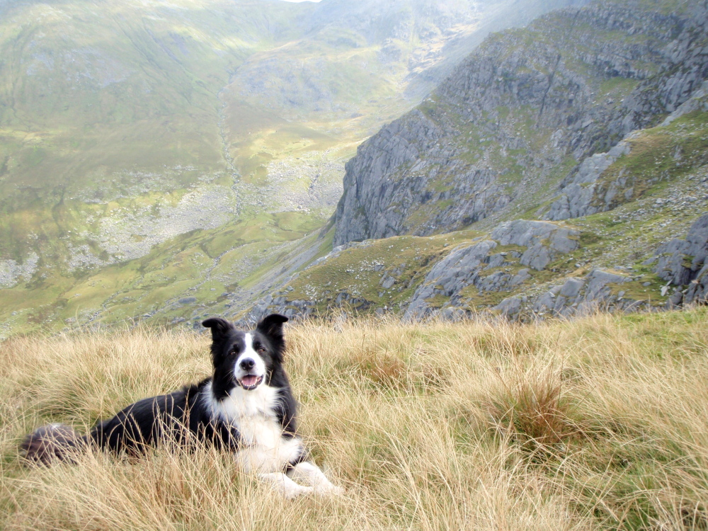
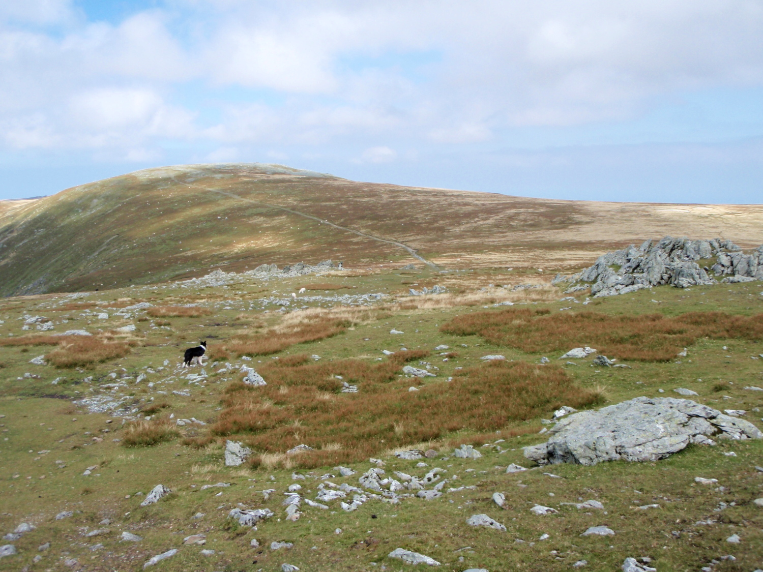
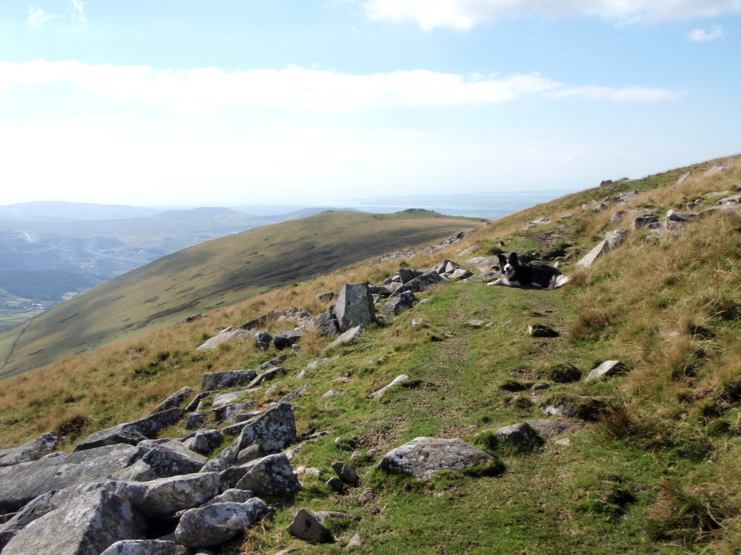
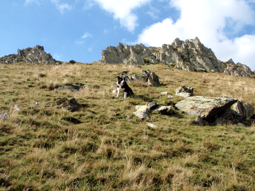
Border Collie ‘Mist’ above the Afon Llafar
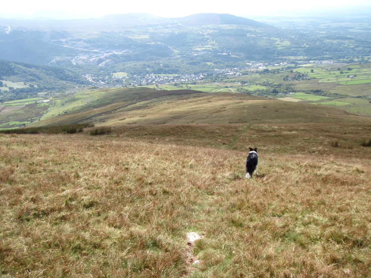
One last look back along the route of ascent from the summit of Carnedd Dafydd ….
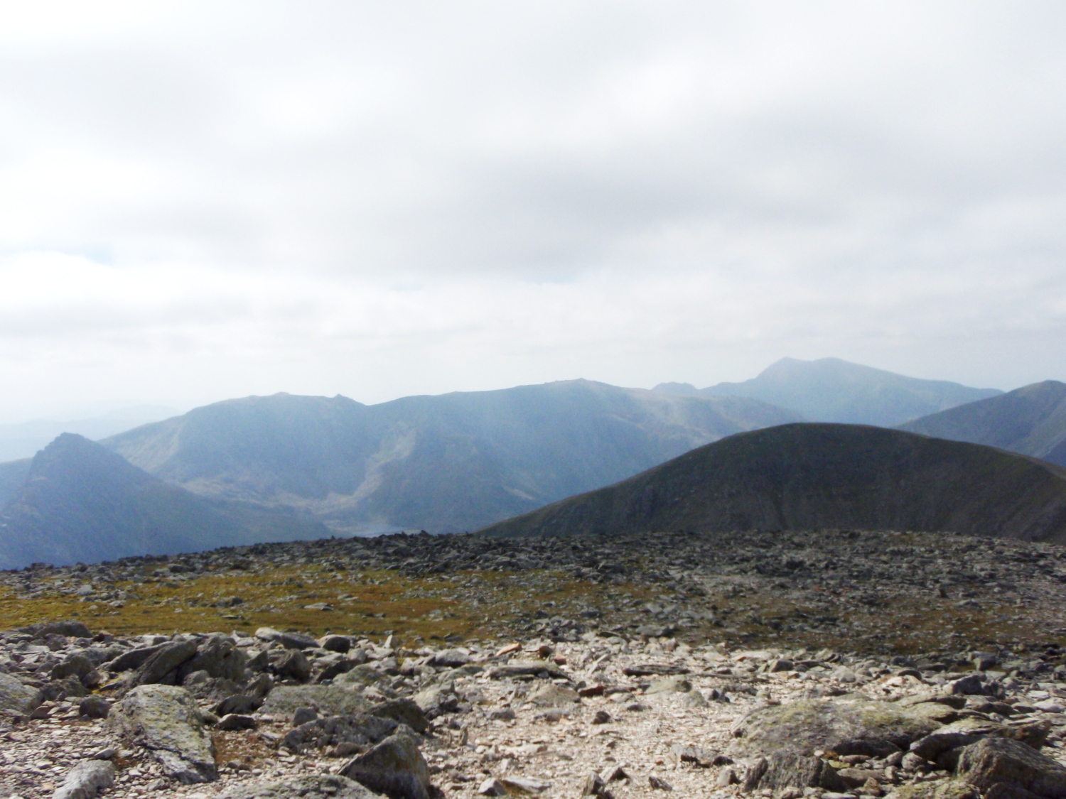
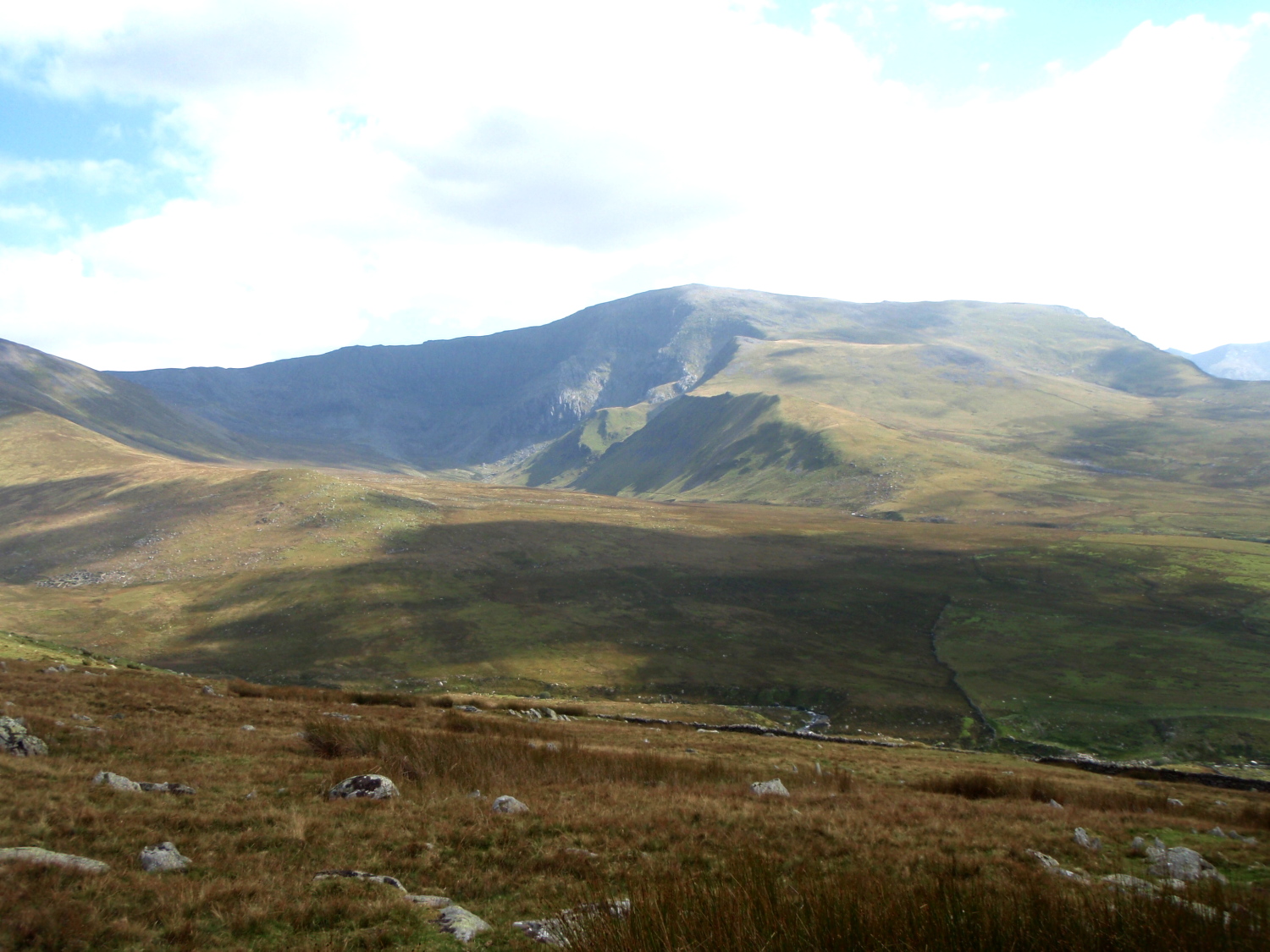
…. and a totally different view looking in the opposite direction towards the Glyderau
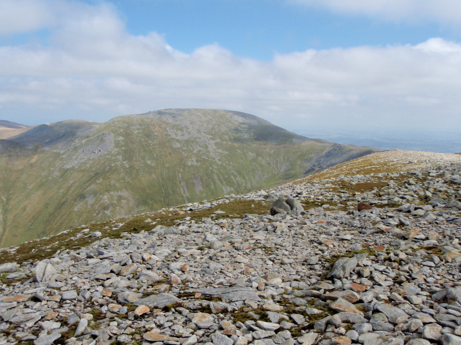
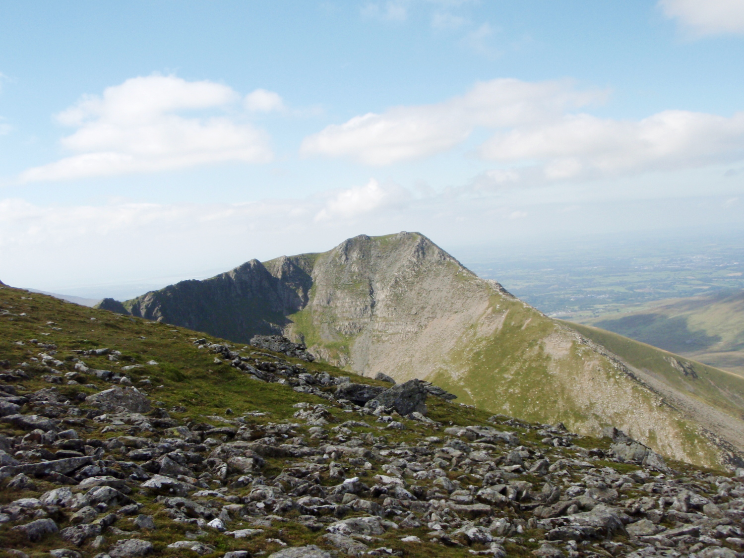
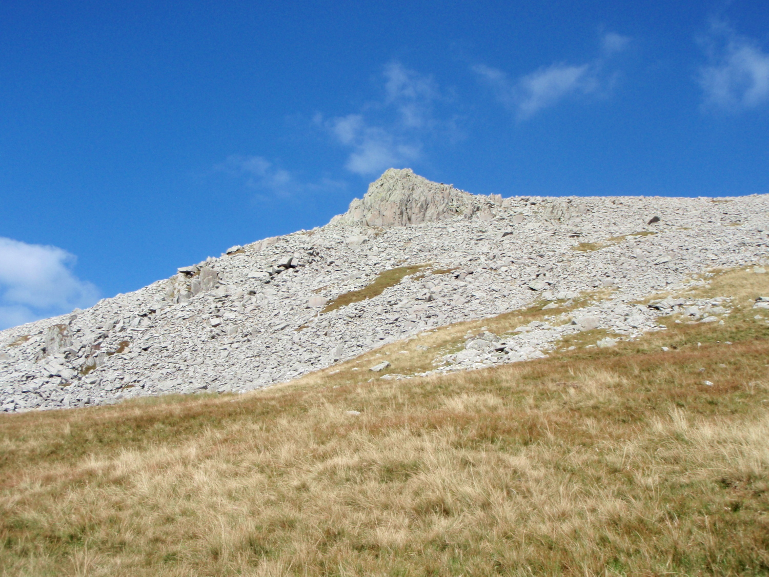
The next objective – Carnedd Llewelyn
Side view of the route up Carnedd Dafydd looking west
There was a simple plan – start from Gerlan near Bethesda, and head for Carnedd Dafydd via the broad grassy Northeast Ridge, a route I hadn’t taken before. A dull day with ‘flat’ light conditions didn’t hold much hope for photographs, but things improved along the way. The map suggested that the long ridge would be a bit of a plod, but the ascent passed quickly. My next objective was Dafydd’s big brother, Carnedd Llewellyn, but I had a small diversion along the way.
* * *
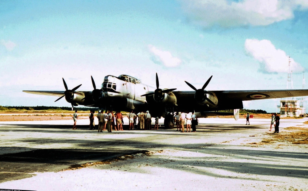
Avro Lincoln bomber
Most of the military air-crash sites in the hills of the UK date back to WW2, when flying training was carried out more frequently and often in poor weather conditions, but some accidents occurred in peacetime. On the night of 14th March 1950 an Avro Lincoln bomber took off from RAF Scampton on a training flight, but weather conditions deteriorated during the flight, and Avro Lincoln RF511 was one of three aircraft diverted to RAF Valley on Anglesey.
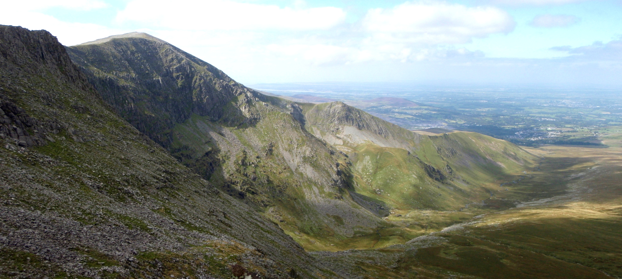
The crash site, just below Bwlch Cyfryw Drum, with Carnedd Dafydd behind
The view down to where the remains of the aircraft lie
The other two aircraft landed safely at 0300hrs on 15th March, but at about the same time news came in from Bethesda police station that an aircraft had crashed nearby. Half an hour later the RAF Mountain Rescue team based at Valley set out to the crash site, arriving there at 0520hrs. The crew of six were all killed in the crash – a Court of Inquiry determined that the likely cause was that the aircraft had turned onto a South-easterly course over Anglesey instead of the reciprocal course out to sea.
Just above the crash site looking southwest
The same aspect from the slopes of Carnedd Llewelyn, with the impact site dead centre
There is very little evidence of the crash at the impact site, but larger pieces of wreckage still lie in the cwm below.
* * *
Different terrain of the return leg
The east face of Yr Elen, seen on the descent from Carnedd Llewelyn ….
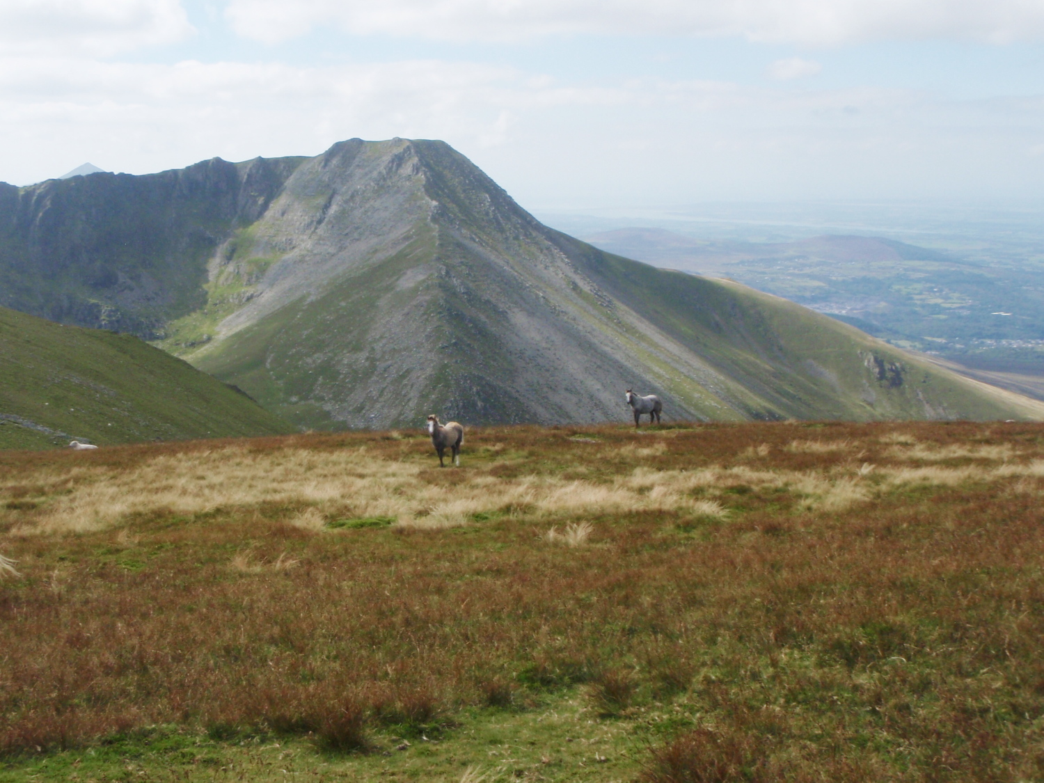
…. and more Carneddau ponies
After my visit to the crash-site, I carried on over Carnedd Llewelyn, the highest peak in the range – from there it wasn’t quite ‘all down hill’, but the hard work was done. On the way, my attention was drawn to the east face of Yr Elen, where the Northeast Ridge was looking good in the afternoon light, and I found myself already planning my next day out in the hills.
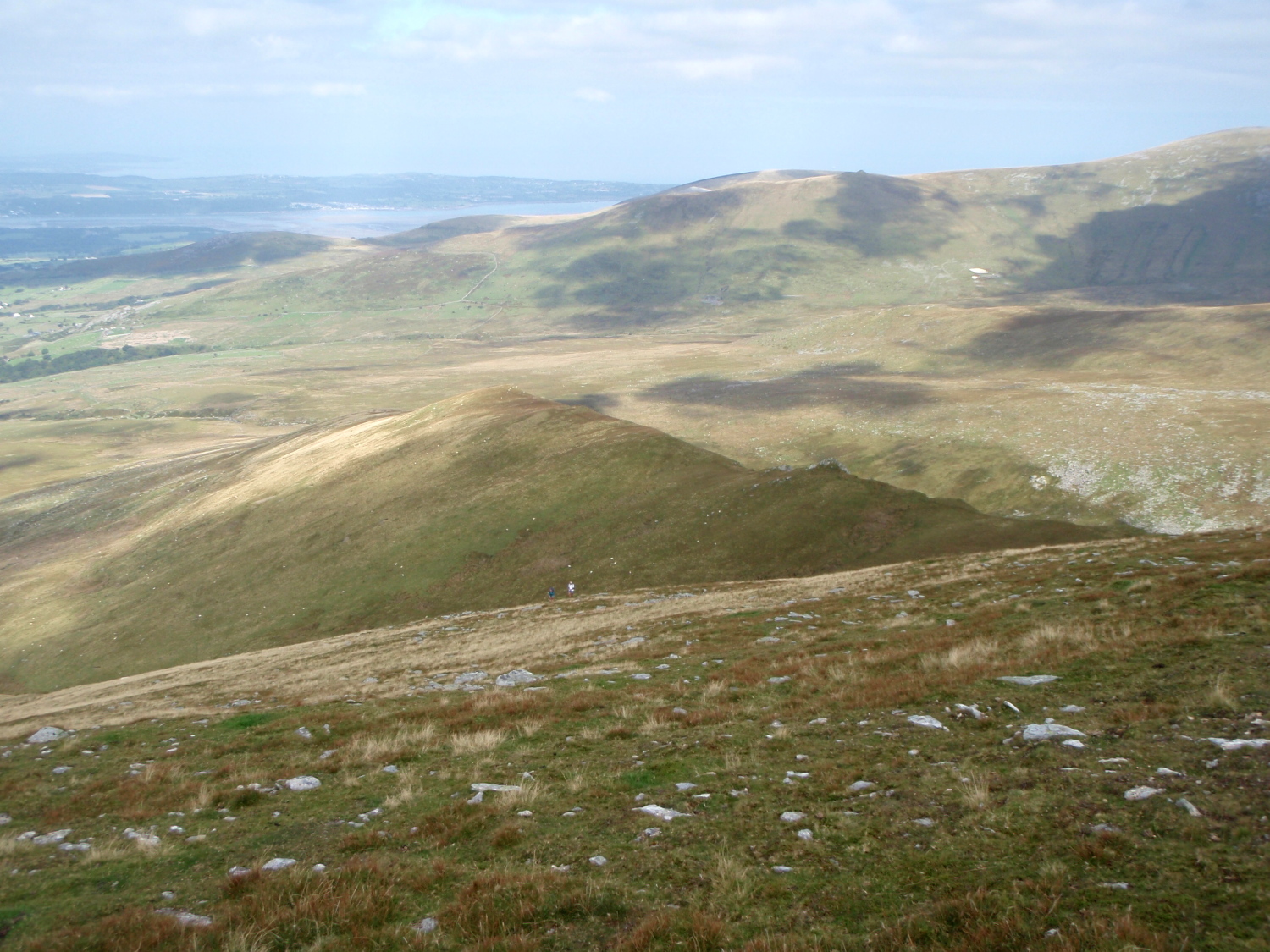
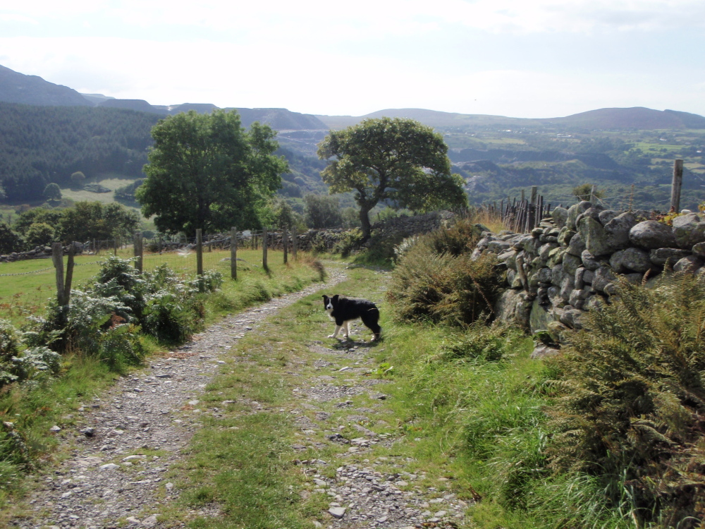
The high path back to Bethesda
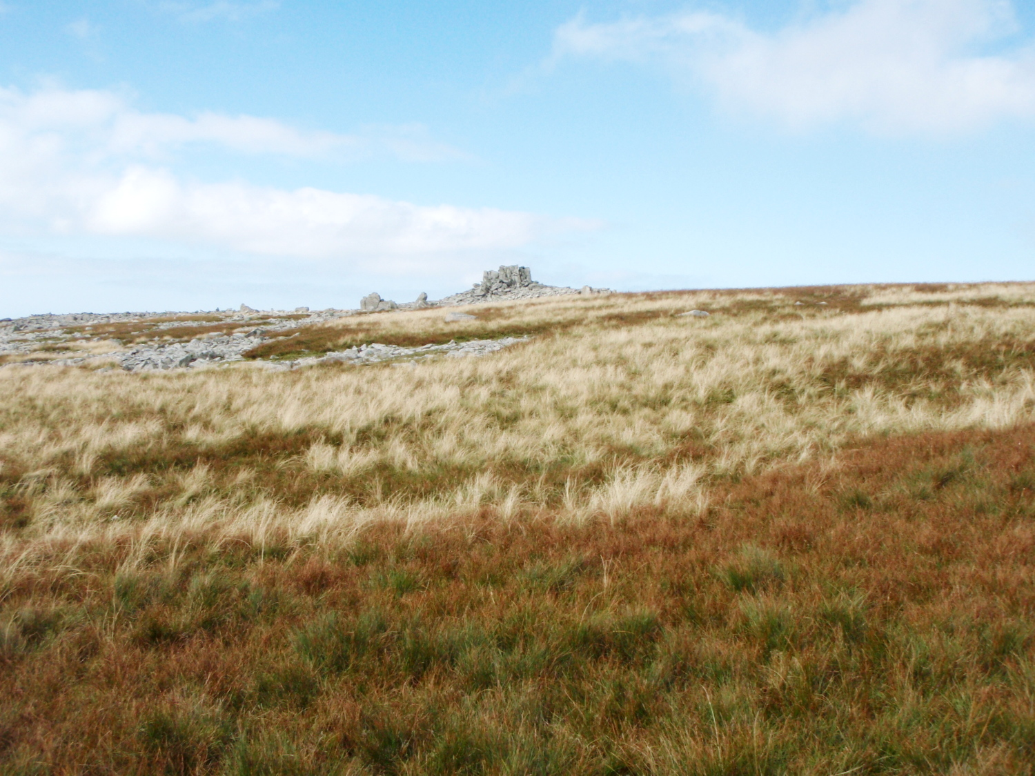
The strange rocks making up the summit of Yr Aryg ….
…. and further on, Bera Bach
However, I still had this walk to finish. After Llewelyn came Foel Grach, Carnedd Gwenllian (formerly named Garnedd Uchaf), followed by Yr Aryg, Bera Bach and Gyrn Wigau. The descent is over rolling grassy hills, rather than the mountain ridges on the ascent, but it made for fast easy walking.
Heading for the last summit of the day ….
…. Gyrn Wigau
Bethesda in the distance
Last view of Carnedd Dafydd – the route of ascent in this post is just right of centre
I later realised why Border Collie ‘Mist’ seemed to be in such a hurry – dinner time takes priority over everything!
“Get a move on – it’s dinner time!”
Text and images © Paul Shorrock

A feast of images, Paul. I’ve never visited the outliers in this range. I stare at the map and try to imagine what they would like like for real. Now I can see them. This looks like a really enjoyable horseshoe route and you had a great day for it. Mist always looks like she is having the time of her life. Does Mist ever get tired?
Thanks for that Andy, it was a great day out!
I’ve looked across at the east side of Yr Elen before, but something about the lighting picked out the Northeast Ridge really well – guess where my next trip is going to be!
As for ‘Mist’ she is absolutely tireless in the mountains, but at six years old she is in her prime – I wish I could say the same about myself, though I managed to overtake another couple on the Carnedd Dafydd ascent 🙂
Is this area like the Bermuda Triangle!? Seems like a lot of plane crashes. I guess I also have to understand there was a war over there. I’ve been sheltered from that. ..
Looks like a great hike. I hope Mist got a great dinner out of the deal!
It was a great day out Plant Girl – as far as ‘Mist’ is concerned, any dinner is a great dinner 😀
You aren’t far off the mark comparing these hills to the Bermuda Triangle, but the logical explanation for the wartime air crashes was a combination of inexperienced aircrew, high ground and British weather plus Atlantic storms – a bad mix for flyers!
Wales is a small country, about one tenth the size of Kansas, but during the years of WW2 there were almost 90 air crashes here, some involving airmen from the USA, and also a handful of German aircraft. Some sad stories (and also some miraculous stories of survival) but I think it’s right that we remember the sacrifices made by all these men.
Thanks for the history/geography/geology/metrology lesson!
I think I need to do your return leg sometime as I’m pretty certain those are some of the summits I haven’t bagged yet in the Carnedd.
That NE ridge of Yr Elen is great – I did it with friends some years back in drizzle but we still enjoyed it.
Haven’t done your ascent ridge yet but have been eyeing it for years – must get on with it!
Carol.
Just back from another great day out, and it had to be the NE Ridge of Yr Elen. And yes, it is great!!
Pingback: #159 – Horses and Dragons – The Northeast Ridge of Yr Elen | Paul Shorrock – One Man's Mountains AKA One Pillock's Hillocks