
For the best viewing experience, left-click the images and maps to zoom in to a new window, then exit that window to go back – go on, it really does work!
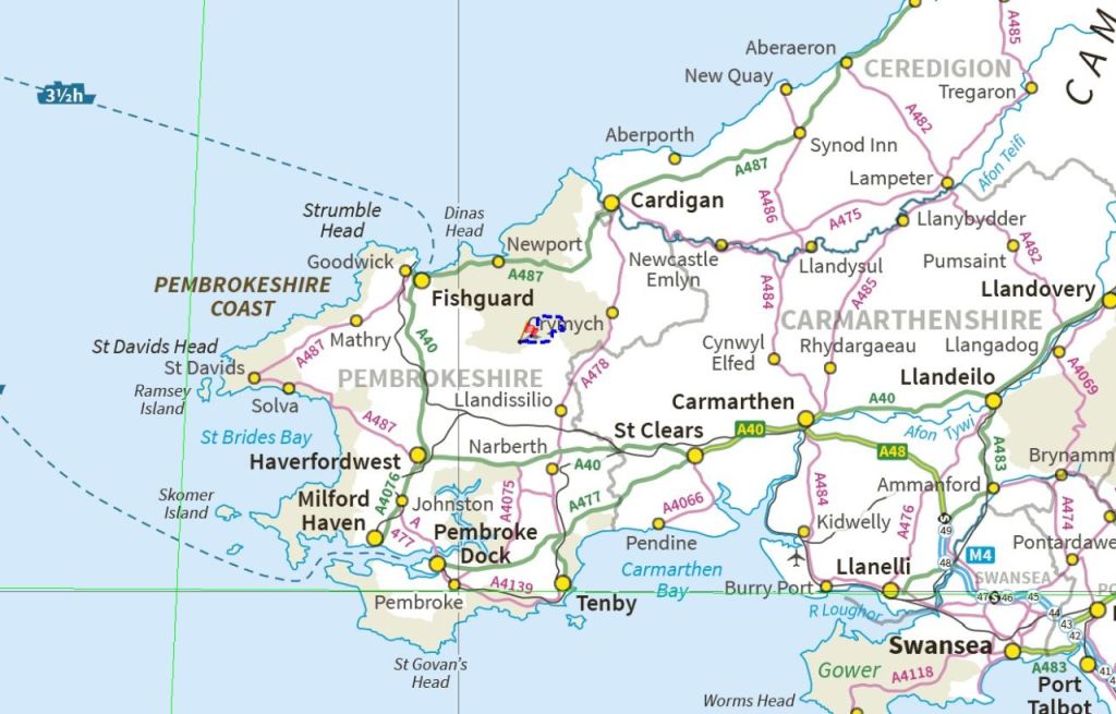
If you are reading this, wondering where on earth the Preseli Hills are, you will be in good company. The highest point in these little-known Pembrokeshire hills, is Foel Cwmcerwyn, a mere 536 metres (1759 ft) in altitude, and the upland areas are grassy, rolling moors with occasional rocky tors. For many, these tors are the major interest – 4000 years ago, some of these rocks were transported 140 miles (225km) to become part of Stonehenge, a major feat of logistics at any time in history!

This was a second visit to Preseli for Chris and I – in 2014 we had walked part of an ancient roadway known as the Golden Road (the 2014 route shown in red in the above map). It’s possible that the Golden Road may have been one of the original Ridgeways of Britain, used in prehistory to avoid the dense forests in the valleys, but it is also believed to have been used 5000 years ago by Neolithic travellers, trading gold mined in the Wicklow Mountains of Ireland with Wessex. Whatever, it’s old!

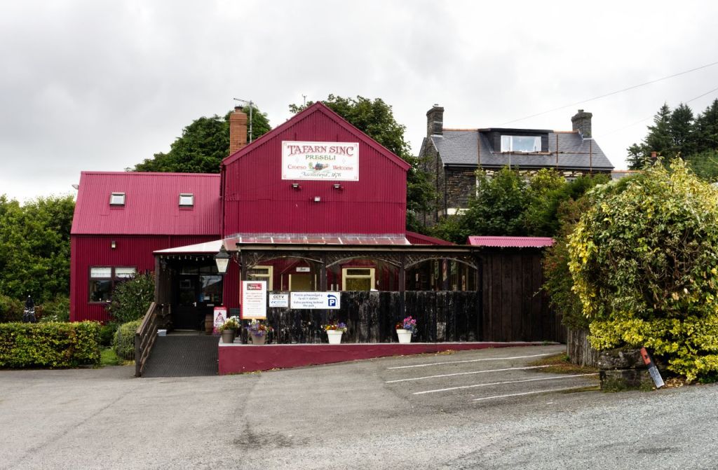
Our trip wasn’t going to involve any gold trading; it was a ‘filling in the gaps’ route to include part of the Golden Road that we had missed out in 2014. Our base was the village of Rosebush, a Welsh village with a well-known pub where customers in the bar are encouraged to order their drinks in the Welsh language. Ironically, the village name is English – Rosebush is assumed to be an anglicised version of the Welsh Rhos y Bwlch, which means the Pass of the Moor.


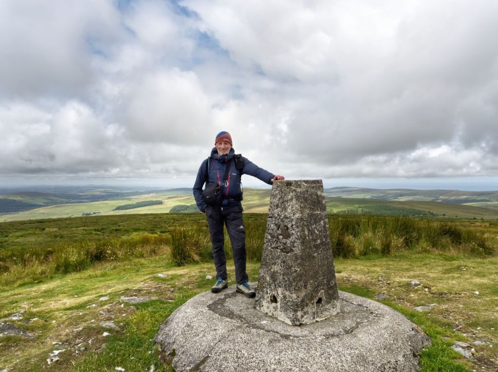
Virtually all our height gain on the route was in the first 3kms from Rosebush to the summit of Foel Cwmcerwyn – lowland fields with sheep led us to a prominent track heading up to Pantmaenog Forest. Beyond there, the ground started to look more like moorland, rather than farmers’ fields, and a steady walk took us almost 300 metres higher than our start point in the village, to the summit trig point at 536 metres altitude.

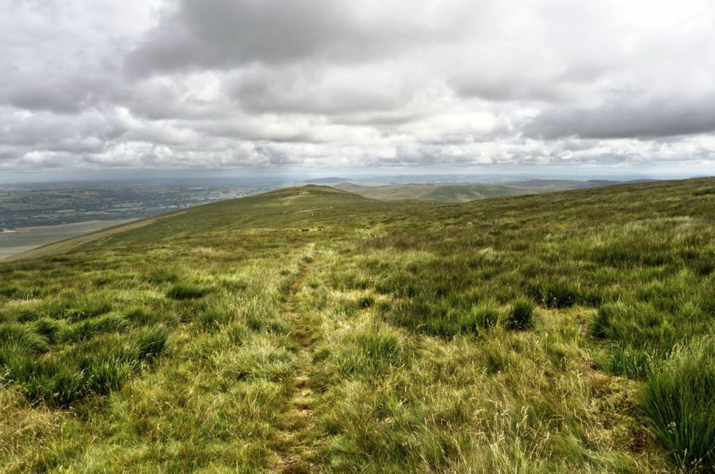


Views from Foel Cwmcerwyn were extensive and included a good bit of our intended route. Foel Feddau was our next hill feature, and a faint path across the moor took us in the right direction. A small amount of descent was followed by some minor uphill before arriving at our second summit and its Bronze Age burial cairn, probably around 4000 years old.


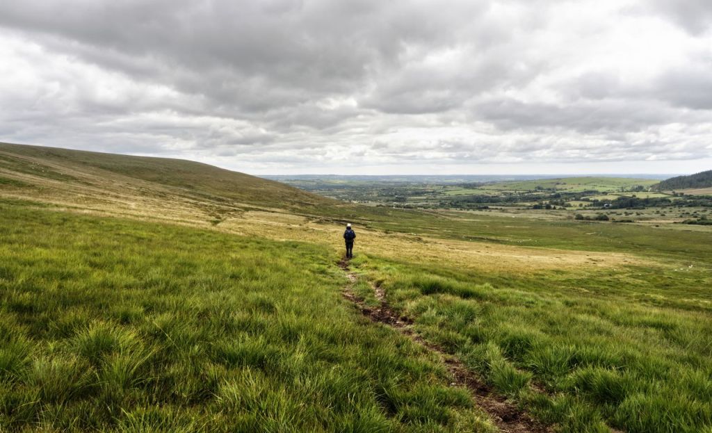
From there it was moorland wandering, pleasant enough in good weather but probably a bit more challenging in bad weather conditions. The route was picked to get some distance back in our legs, after being restricted to shorter walks for a while. 15kms wasn’t exactly earth-shattering, but ‘it gets you out of the house’ as the saying goes. 5kms of that was on a quiet road, but that gave ample opportunity to brush up on my Welsh for the Tafarn Sinc pub – “peint a hanner o seidr, os gwelwch yn dda” would do nicely (“a pint and a half of cider, please” if you are struggling with that!).
Text and images © Paul Shorrock


It sounds nothing like Rosebush when said in Welsh – I can only imagine the Angles thought it looked like ‘rose bush’!
The nearest I’ve been to there was Carmarthen and Gower (which we loved).
LikeLike