

The north side of Ingleborough
(For the best viewing experience, left click the images and maps to zoom in, then use your browser return arrow to go back)
23 March 2010 – Route 6, Ingleborough from Chapel le Dale to Horton, solo – The final walk!
On 23 March I set off to complete Route 6 (Chapel-le-Dale to Horton) and with it the whole project. It was two days after the first day of spring, and although there was a chill in the air there was also a change from the short, wintry days to the first signs of the returning summer.

The Three Peaks area, showing Ingleborough and the route

Closer view of the route, with the link from Ribblehead railway station shown in dark green

Closer still view of the main part of the route, from Chapel le Dale to Horton in Ribblesdale
Perhaps the best sign as far as I was concerned was that I was finally carrying my summer weight rucksack for the first time since I had started the project the previous November; it felt as light as a feather compared with the winter gear I had been carrying.

Just off the train and heading for Chapel le Dale via the link route under the viaduct

Ingleborough ahead on the right, seen from Ivescar
I parked the car in Horton, the destination for Route 6, then as on some of the earlier routes, I took the train to Ribblehead. Rather than take the quick and easy option of walking 2½ kms down the road, I took the old, familiar track under the railway viaduct, passing Gunnerfleet Farm, before heading past Ivescar to Chapel-le-Dale – 4 kms, but much more enjoyable.

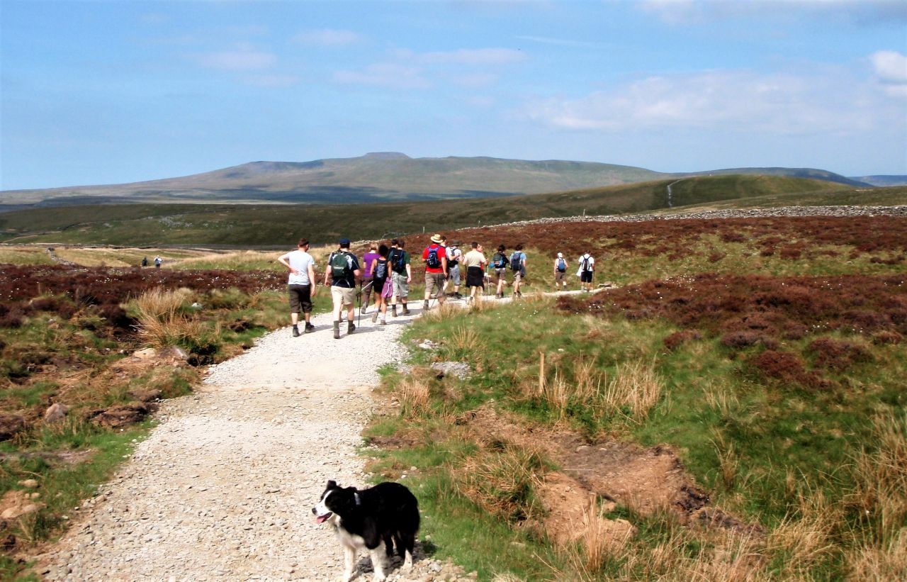
Runners at Chapel le Dale heading for Ingleborough
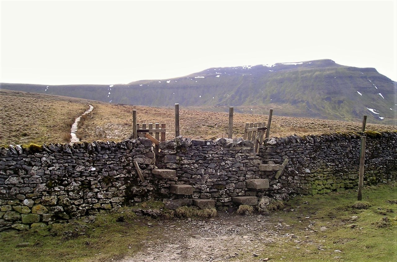
Double stile just before the causeway path to Humphrey Bottom

Higher up the causeway path with Ingleborough getting nearer
By the time I reached Chapel-le-Dale, I had put an hours walking behind me, but had only just reached the start point of the route I was about to record. The Hill Inn was about 150 metres down the road, but no time for that today – I was on a mission! I wasn’t as lightly equipped as the three runners who were just setting off, but the lighter rucksack didn’t hold me back and I was soon across the causeway path to Humphrey Bottom and the final steep ascent to the summit.

Trig point, cairn and summit shelter
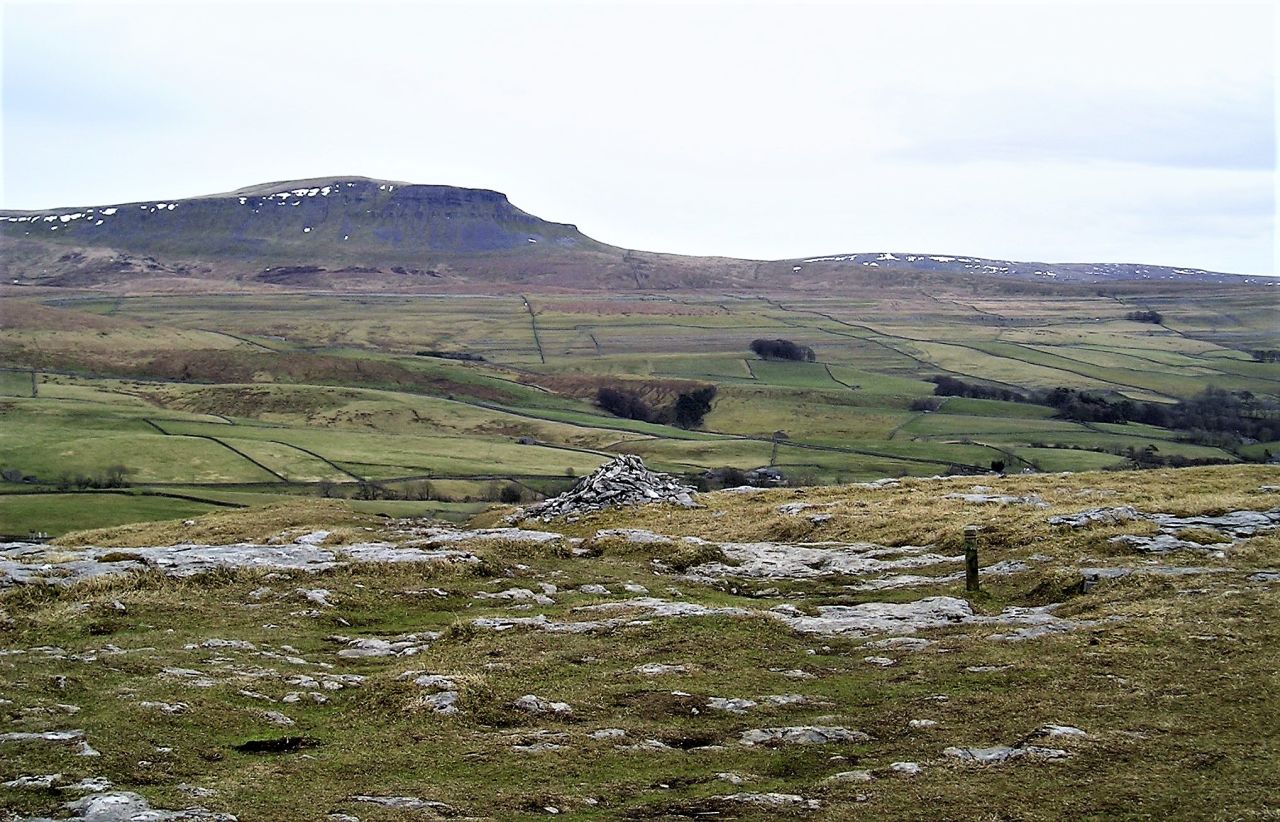
Although a dullish day, the summit plateau was cloud free, with great long-distance views – if only it could be like this every time! The plateau is about as flat as it could be apart from a slight downward tilt to the east – in weather conditions like those shown in the photos, there is no problem at all finding the way off, but in poor visibility it can (and does) cause problems for some.
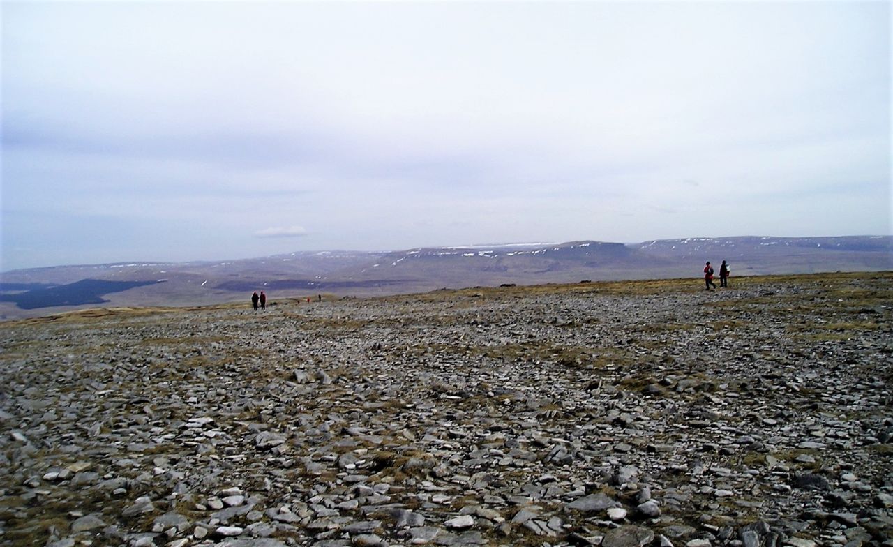
Ingleborough summit plateau
The hill has been a major attraction round here for many years, starting as an Iron Age fort over 2000 years ago, and more recently in the Nineteenth Century as a racecourse. In 1830, someone built a hotel on the top (OK, call that a boozer!) which was wrecked on the day it was opened when the crowd became drunk and unruly!

The summit shelter
The most welcome sight nowadays is the cross-shaped shelter near the surveyors’ trig point – as well as marking the high point, it also gives shelter from the wind which can tear across the summit. It was a quiet, still day on this trip, but I didn’t linger at the shelter – it was time to head for Horton.
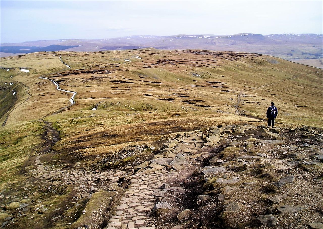
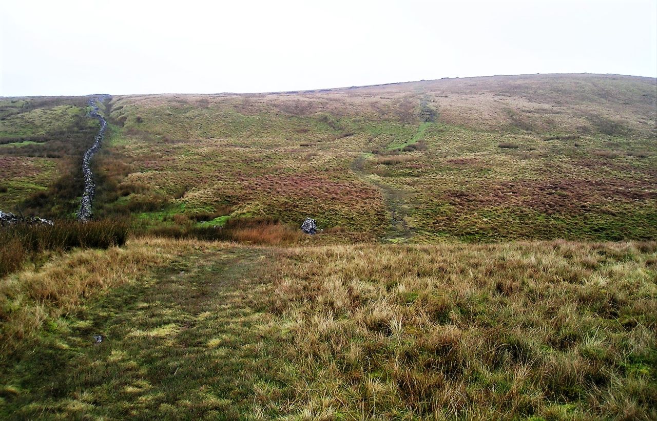
The fork in the path – the ascent path on the left and the descent (less obvious) on the right
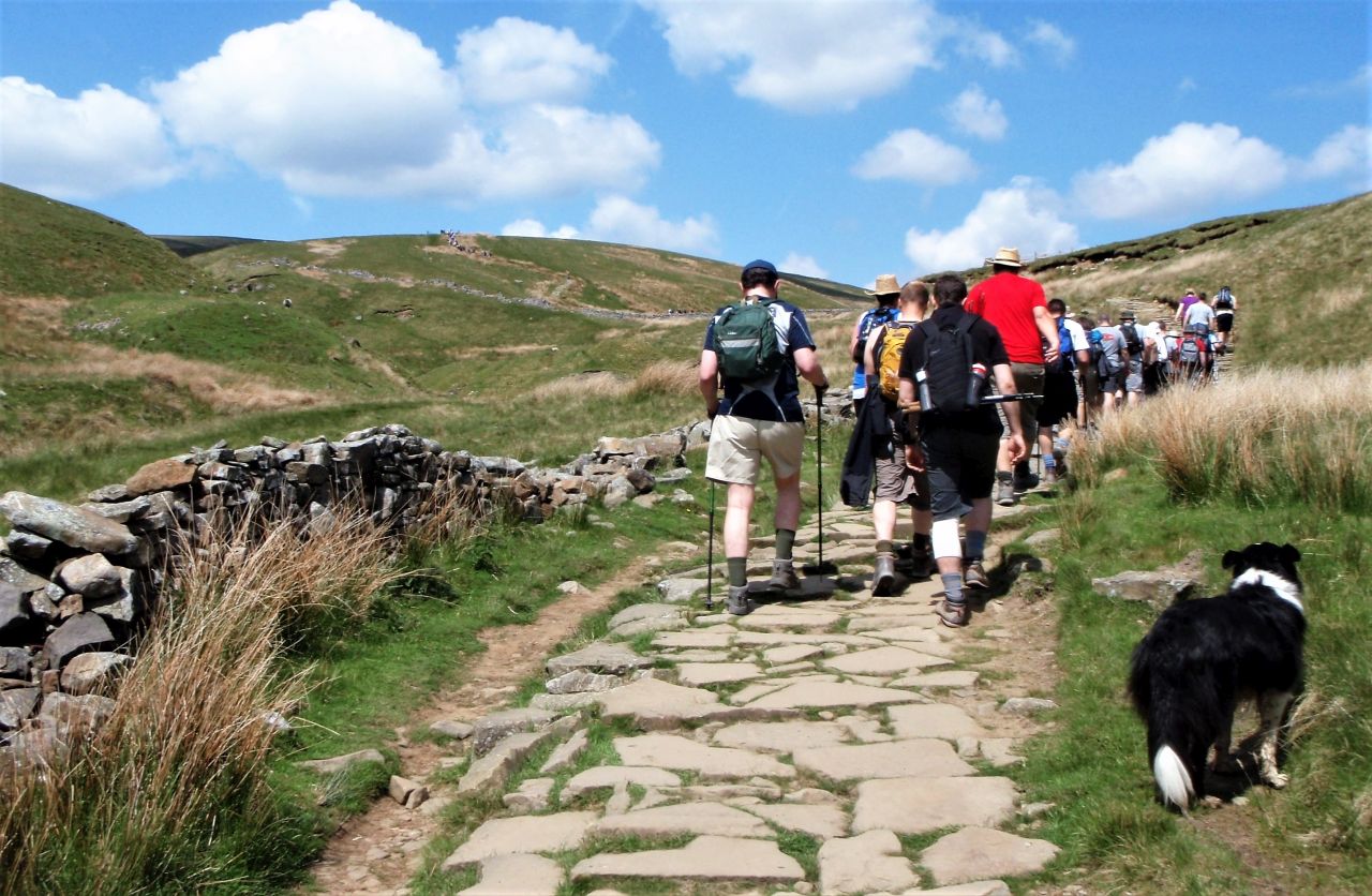
If getting off the summit plateau can be difficult in bad ‘vis’, there’s another navigational trap just beyond – the path to Horton forks, with the ascent path from Chapel-le-Dale on the left looking more tempting that the fainter Horton path going to the right. It’s fair to say that more people get lost on Ingleborough than the other two peaks together, making extra work for the local mountain rescue team (CRO).
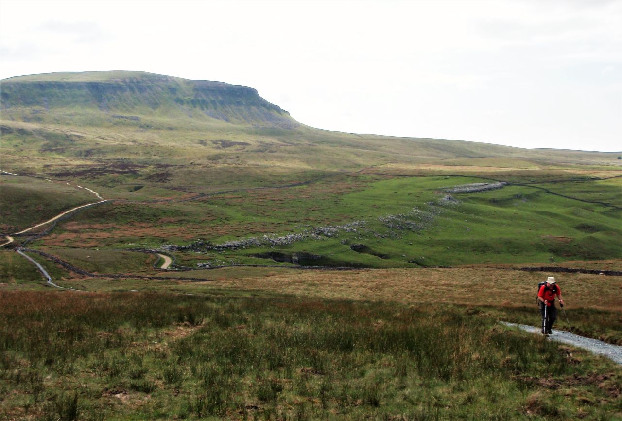
On the descent now, looking back at Ingleborough
Once off the summit, I did as I usually do and looked back to where I had just come from. Actually, it’s good navigational practice to look behind every now and then, in case there’s a need to reverse the route, but in this case it was an opportunity to look back, not only on the route of the day but the weeks that had gone into planning and shaping the guidebook.
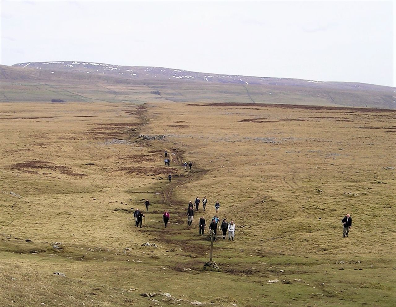
Sulber Crossroads with the Pennine Bridleway crossing left to right in the foreground
Less than 2 kms to go and it’s nearly over! Horton in the dip to the right
I passed Sulber Crossroads and was soon overlooking the valley, with Horton just 2 kms away – it was the end of the walking, but I still had a couple of weeks work ahead, editing GPS tracks, sorting photos and finishing some of the other chapters on safety, history, etc. The guidebook data was soon assembled by the publisher and the book went on sale – in the meantime, the Y3P route was getting a makeover.
My, but how things changed ….
Nothing remains static, and the Y3P is no exception. The planners of the Yorkshire Dales National Park had come to the same conclusion about the bogs of Todber Moss that I had, and decided to re-route the recommended path. They ended up taking the exact line that I had surveyed for Route 4, and the announcement of this coincided with the guidebook going on sale, and for some time, my guidebook was the only one showing the new ‘approved’ route. In the meantime, the National Park improved the new path, so that it soon looked quite different ….
The link to avoid Todber Moss – how it looked in 2010 ….

…. and how it looked in 2015 with the new route now ‘official’ (seen at Horton Lane)

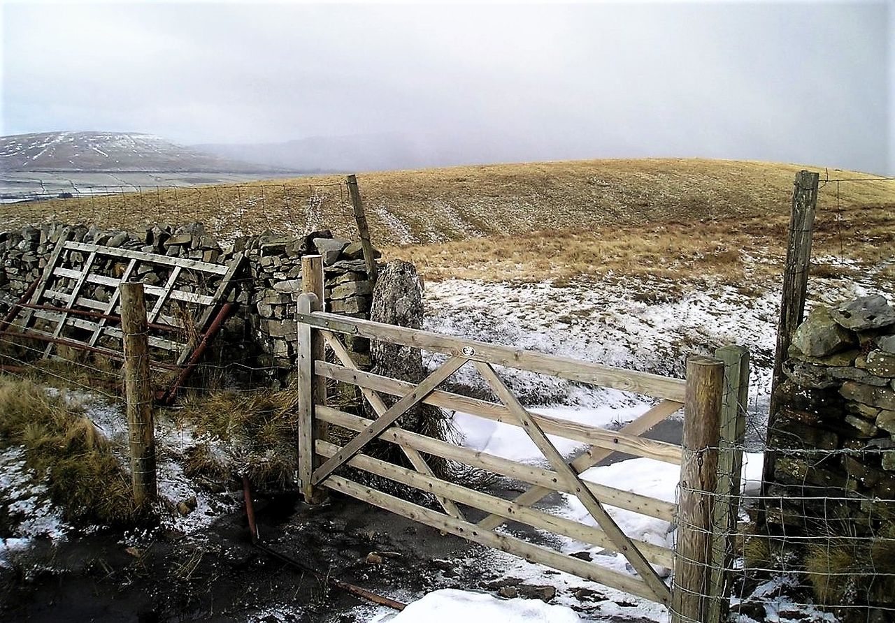
The gate at Whitber Hill / Sell Gill Beck seen in 2010 ….

…. and looking back to the same gate in 2017
The gate used on the original end to the ‘Northwest Passage’ link in 2010 ….

…. and looking back to the new, improved version in 2017
In a short time, the new route became a well-established path with improved gates and stiles and a good surface underfoot. Look at it today, and it looks as though it’s been there for ever.
A new hill buddy hits the scene – Border Collie ‘Mist’
By the end of the year (2010), with the guidebook already selling well, I found that I had a new buddy to accompany me on the hills – Border Collie ‘Mist’. Since then, the number of times I have been in the mountains without her running alongside (or more usually ahead!) can be counted on one hand.
Border Collie ‘Mist’ herding walkers on the Y3P in 2013
Her first time round the Y3P was in 2013 – I had recently joined NEWSAR, my local mountain rescue team in North Wales, and in June 2013, team members acted as safety cover for a sponsored walk round the Y3P. Since then, ‘Mist’ has repeated the route several times, always looking fresh and ready for more even at the end of the day.

2015 – ‘Mist’ keeping them moving on the first peak, Pen y Ghent
So, for all dog lovers and especially Border Collie fans, here’s a virtual tour of the Y3P route with a helpful Collie to show the way.

The start of the Pen y Ghent section – lots of walkers to herd ….

…. got to keep them moving!

The first rock step on Pen y Ghent South Ridge ….

…. and ‘Mist’ still keeping them moving!

Steep ground on the rock step …

…. but eventually they all get to the summit!
Pen y Ghent behind now ….

…. with the only bit of road walking, heading towards Ribblehead

After a break, everyone is off again to Whernside, rising above the viaduct
Starting to get a bit steeper now ….

…. with ‘Mist’ taking time out hunting voles (she’s never caught one yet!)

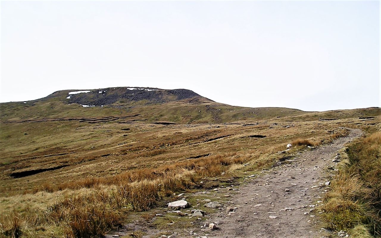
Leaving Whernside with one more summit to go – (Ingleborough in the distance)

Final break at Chapel le Dale behind us with the last peak in front
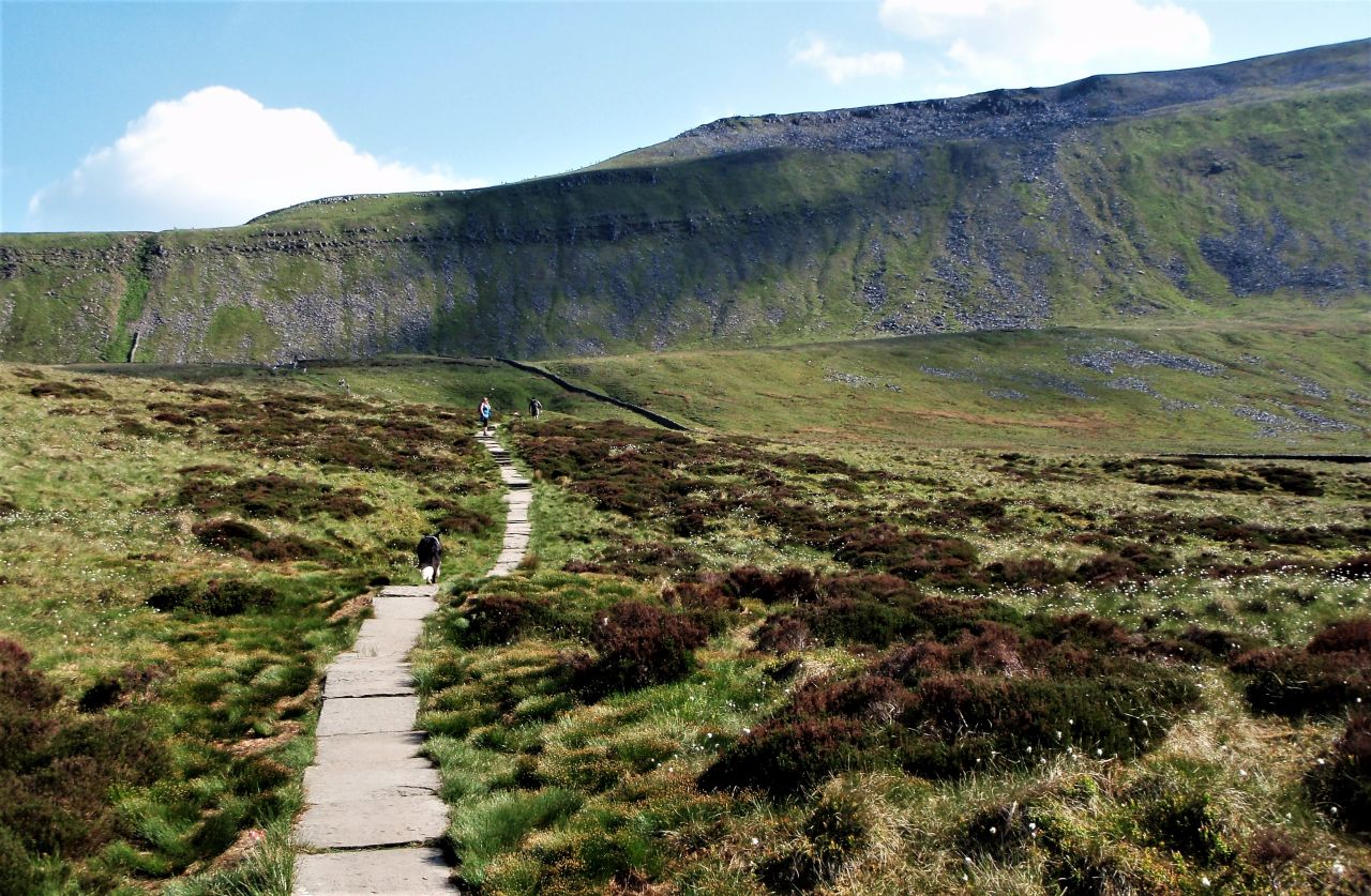
The causeway path over the moor to Humphrey Bottom, with Ingleborough above

‘Mist’ and friends on Ingleborough summit

Herding the final customers on their way
We didn’t do the Y3P this year because of the Covid-19 restrictions, and as she will soon be 13, ‘Mist’ might have done her last Y3P Challenge – she’s still good for a long day in the hills, but the trouble with Border Collies is that (like us) they are often unwilling to admit that time is catching up. I don’t know whether or not she will be up for the Y3P route next year, but one thing is for sure – in my memories, she will always be with me on the mountains.

Horton village and the finishing post ahead – for most Y3P walkers, the best part of the day

‘Mist’ © Babs Boardwell
Text and images © Paul Shorrock except for the image of ‘Mist’ above © Babs Boardwell


Thank you Paul, a very enjoyable read
LikeLiked by 1 person
Cheers Adam, thanks for that from both myself and my four legged hill companion.
LikeLike
I always find that walk from Ingleborough to Horton really, really long…
I don’t bother with a pack any more for my English walking (mind you, I would take a small one for the whole of The Three Peaks!
LikeLike
Oh, I know what you mean about that last leg – it seems to go on for ever!
LikeLike
it was our ‘mid leg’ as we finished with Penyghent – after calling in at the car and changing to fresh footwear and then the shop for ice lollies. That’s the way to do it! 😉
LikeLike