
For the best viewing experience, left-click the images and maps to zoom in to a new window, then close that window to go back – go on, it really does work!
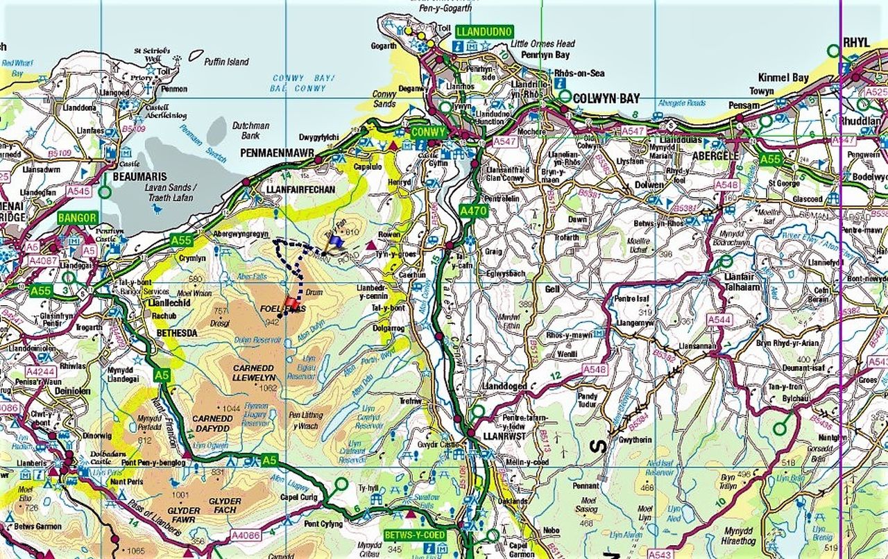
The Covid lockdown had prohibited all but local travel in Wales from December 2020 to March 2021, and much as I enjoy my local hills, I was ready for something a bit more impressive. When the movement ban was finally lifted, I knew exactly where we would head for – the magnificent mountains of the Carneddau, just a 40 km (25 mile) drive from home.
Until moving to North Wales ten years ago, I had hardly ventured onto the Carneddau (it translates as ‘Cairns’) but since then it has become one of my favourite Welsh mountain areas and compared with the rest of Wales, there is nothing quite as wild, or perhaps even intimidating to the novice. The range includes seven out of the fifteen peaks in North Wales that are over 3000ft (915 metres), as well as a couple of major climbing crags – think of it as a mini-Cairngorms.
Back in 2011 I wrote, “ It’s the biggest upland mass south of the Scottish border, and you could comfortably move the Snowdon Range and the Glyderau into the space the Carneddau occupies, and still have room left over. They are surprisingly quiet hills, though. The reasons for that soon become apparent – long walks in and out, high summits and an almost featureless plateau that in bad weather becomes a navigation trap for the unprepared.”

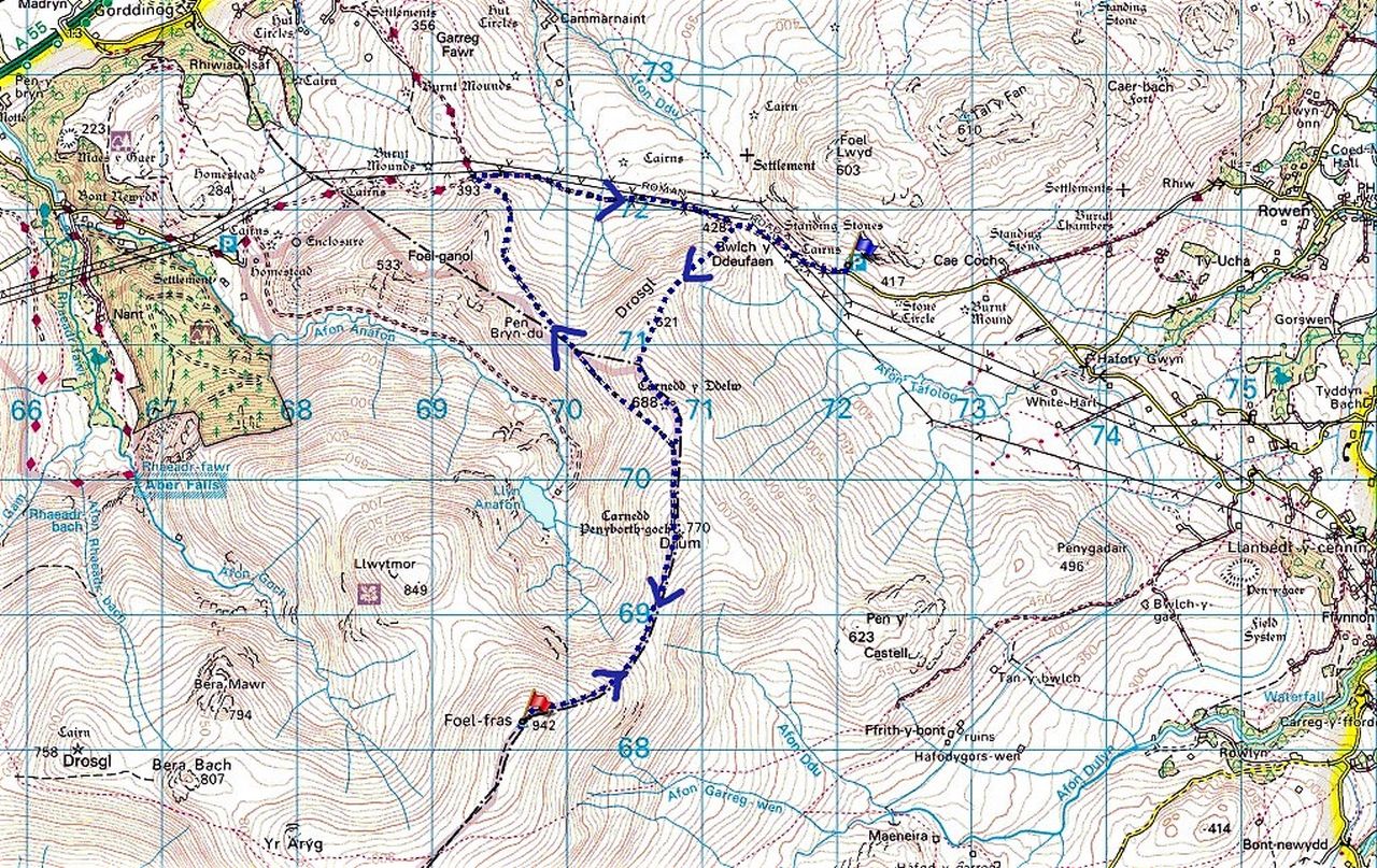
Our plan was to head for Drum (pronounced ‘Drim’ and meaning ‘Ridge’ in English) via the North Wales Path which follows the old Roman Road from Segontium (Caernarfon) to Deva (Chester). The Roman Road leads to Bwlch y Ddeufaen (Pass of Two Stones) where we would turn uphill on the slopes of Drosgl (not the better known and more spectacular Drosgl above Bethesda) to meet the track leading to the summit of Drum – there, we would decide if we were going to continue to Foel Fras.
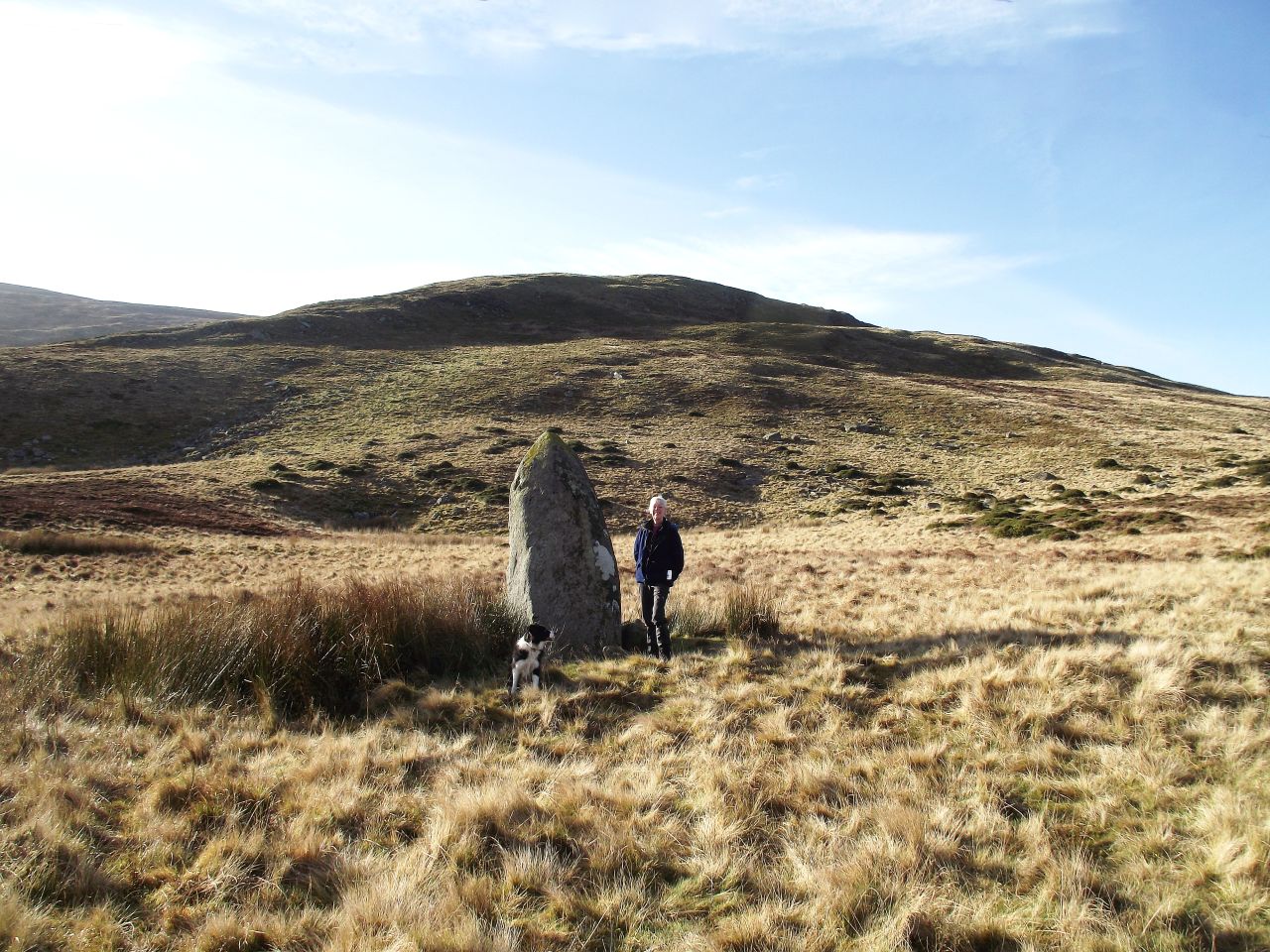
Those who know the route will realise that the carpark at the road head is at an altitude of 420 metres (1377 ft), a nice little boost for shoulders that hadn’t been carrying a heavy hill rucksack for several months! A short distance from the carpark is the Bwlch y Ddeufaen with the two standing stones that give their name the pass. These possibly date to the Bronze Age or earlier, making them around 4000 years old, twice as old as the Roman Road which followed the same pass.
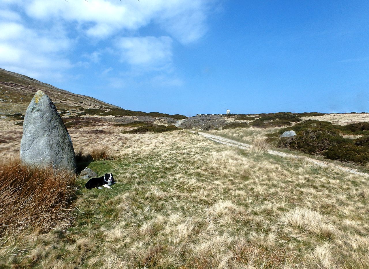
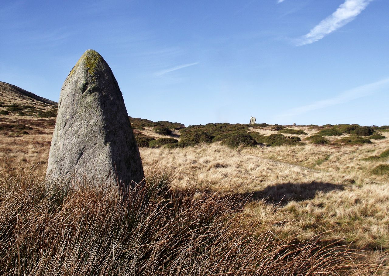
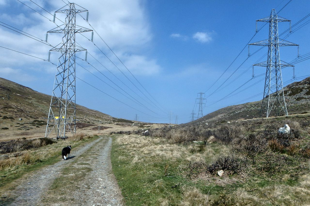
Others have followed the same route since, including cattle drovers up to the middle of the 19th Century, but the biggest changes to the outlook came in the 20th Century when electricity pylons were built to carry power lines as part of the National Grid. The scenery here is so dramatic that the power lines are a minor intrusion and will probably be gone long before the standing stones disappear. However, for those who can’t wait that long, I’ve used photo editing software to remove the pylons from two images above – think of it as a preview!
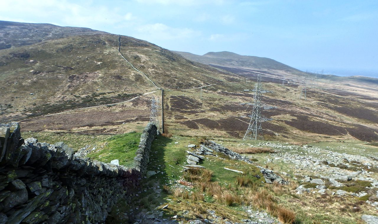
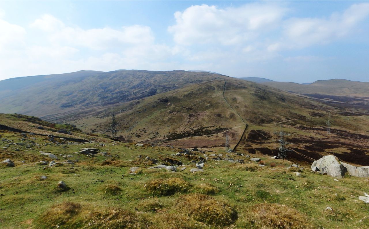
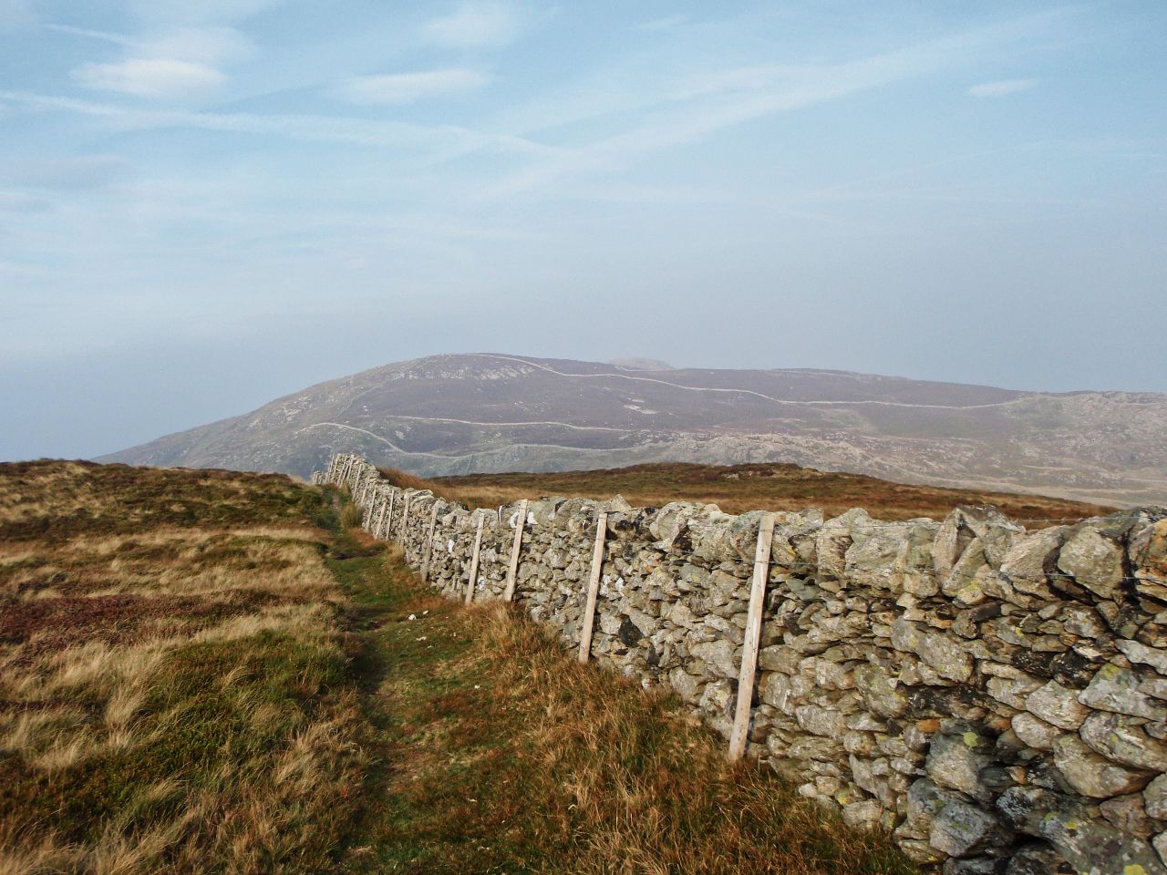
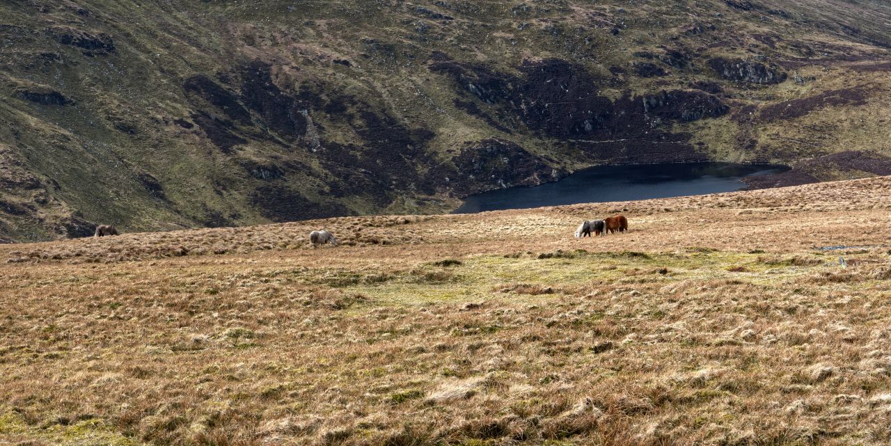

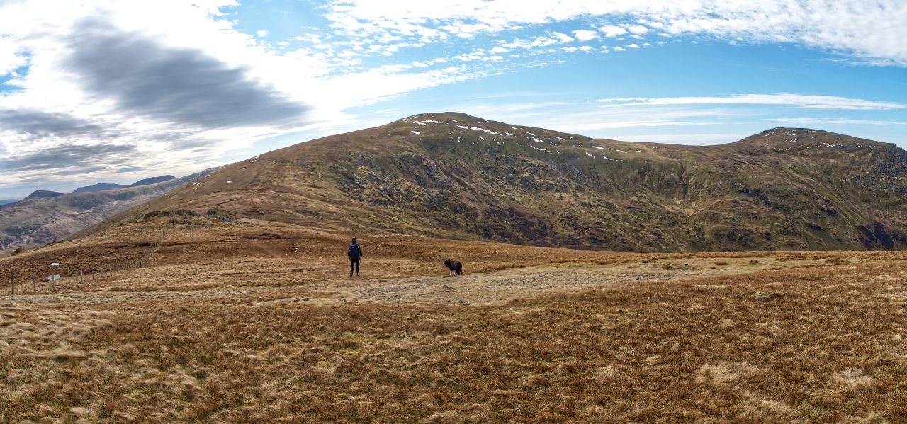
From the bwlch, we set off uphill following the stone wall that climbs the slopes of Drosgl – the ascent isn’t unduly steep, but it does go on a bit and it was good when things finally levelled out just before Carnedd y Ddelw (Cairn of the Image or Statue). From here we had our first sighting of Carneddau ponies (more of which later) above Llyn Anafon, before we reached the track leading to the summit of Drum.

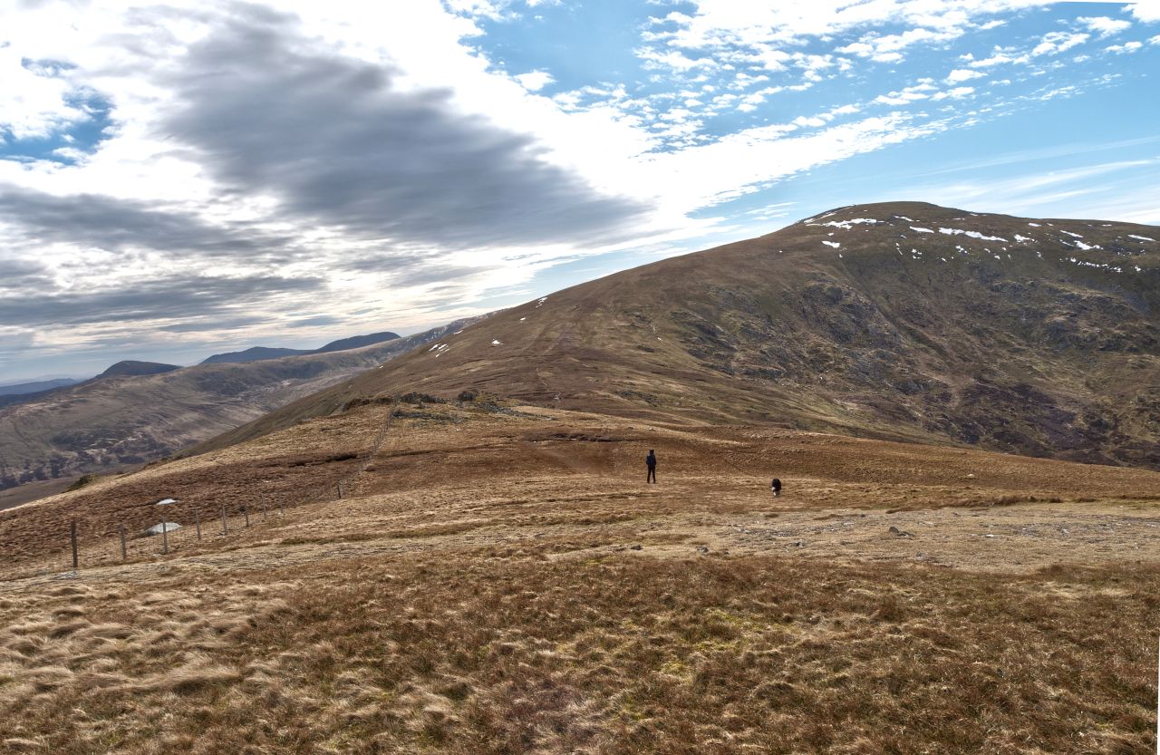

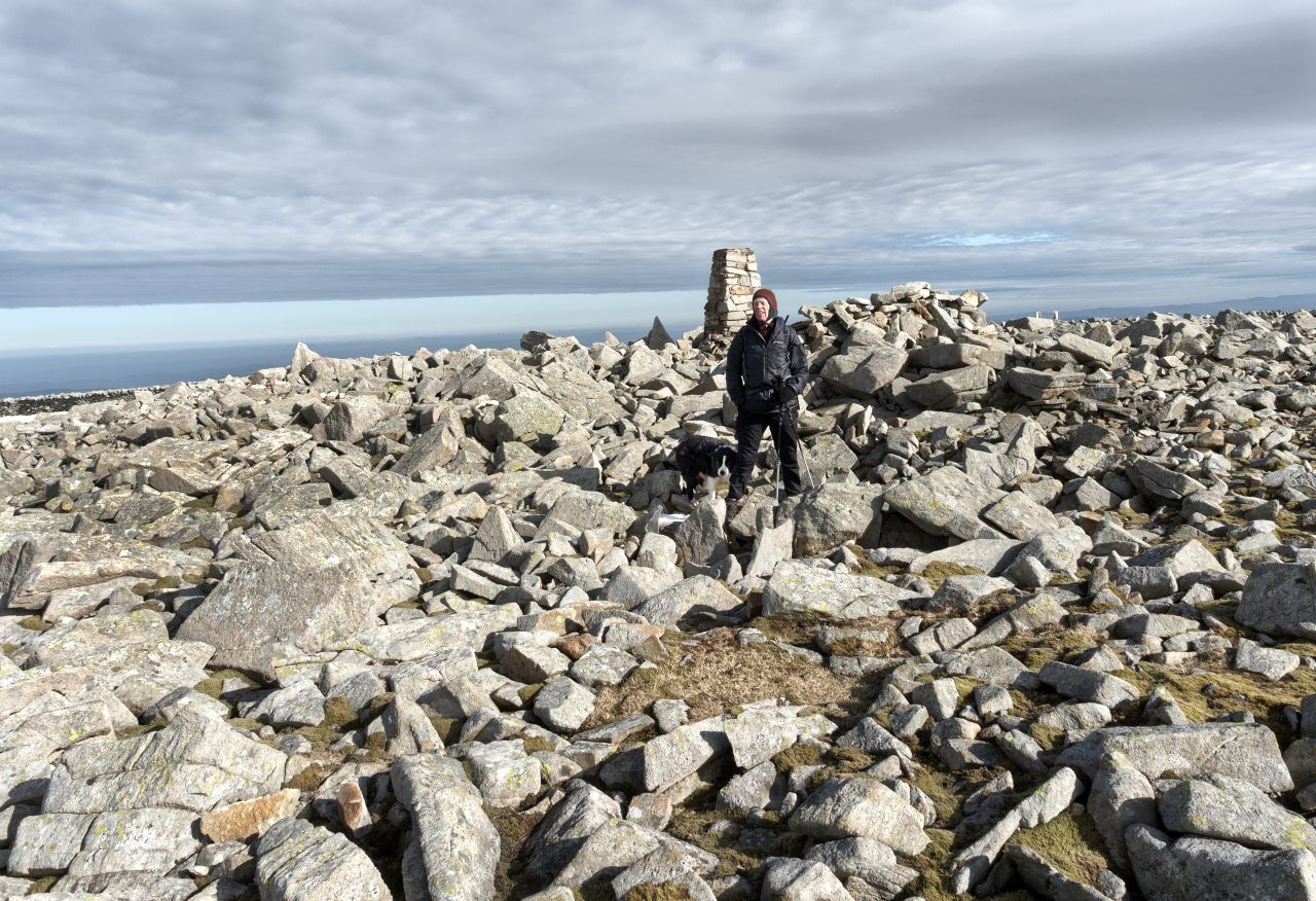
From Drum, the summit of Foel Fras rose above us, 170 metres higher but with a height loss of 50 metres to Bwlch y Gwryd before starting upwards again. We didn’t spend long reaching a decision and set off towards the eleventh highest summit in Wales, the ‘Broad Bare Hill’, otherwise Foel Fras – well, It would have been rude not to! There were patches of snow left from the winter and the summit was chilly enough to make a quick turn-round seem like a good idea.


The return was initially via Drum, but we opted for the old Land Rover track to reach the Roman Road (see post #219 for the story of the track and the secret ‘Blue Joker’ radar project of the 1950’s). On the way we saw more of the wild ponies that live on the Carneddau – I read recently somewhere that “if you are lucky, you may see them”, but in my experience luck doesn’t come into it and it’s more unusual not to come across them.

Down on the Roman Road, we made rapid progress back towards Bwlch y Ddeufaen. The mist we had run into on the track down persisted along the Roman Road, but it didn’t seem to bother a larger group of ponies we met along the way. The other ‘Mist’ (Border Collie ‘Mist’ that is) wasn’t interested in the ponies, as usual – it was too near to dinner time to waste time looking at the locals.

Text and images © Paul Shorrock


I’ve certainly done those hills and went up the same way you did but I must have gone onto something else after as I don’t remember that landrover track at all. I remember being tickled by the ‘ancient and modern’ of what I called ‘Power Bwlch’ (the pylons and standing stones together). I don’t mind seeing pylons really. What I really didn’t like, however, was having to walk along the path directly underneath some of the really high power lines – I’m terrified pylons will drop a cable on me and fry me (it does happen sometimes!) In the end, I walked beside the path – something I never do as I hate eroding new bits of ground – but I was too scared to go under the wires for such a distance.
Lovely striding-out country – my favourite sort of hillwalking. Probably why I love the Cairngorms best in Scotland…
LikeLike
Pingback: #297 – Return to Foel Grach – with a difference | Paul Shorrock – One Man's Mountains AKA One Pillock's Hillocks