Neist Point, the most westerly point on Skye
(For the best viewing experience, left-click the images and maps to zoom in, then use your browser return arrow to go back – go on, it really does work!)

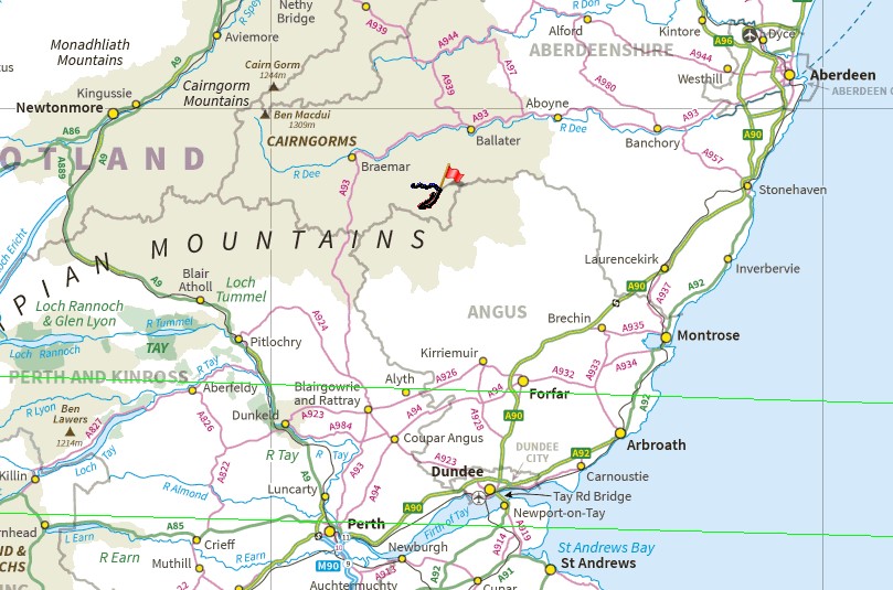
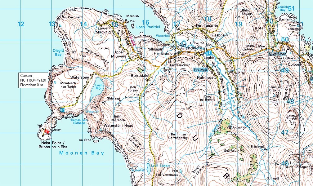
Neist Point location (red flag) in relation to Northern Scotland
Neist Point is one of the most photographed locations on Skye, mostly because of the spectacular sunsets to the west, over the islands of the Outer Hebrides and the Little Minch, the sea strait that lies between Skye and the Outer Isles. ‘Most photographed’ means one thing in particular though – lots of people!

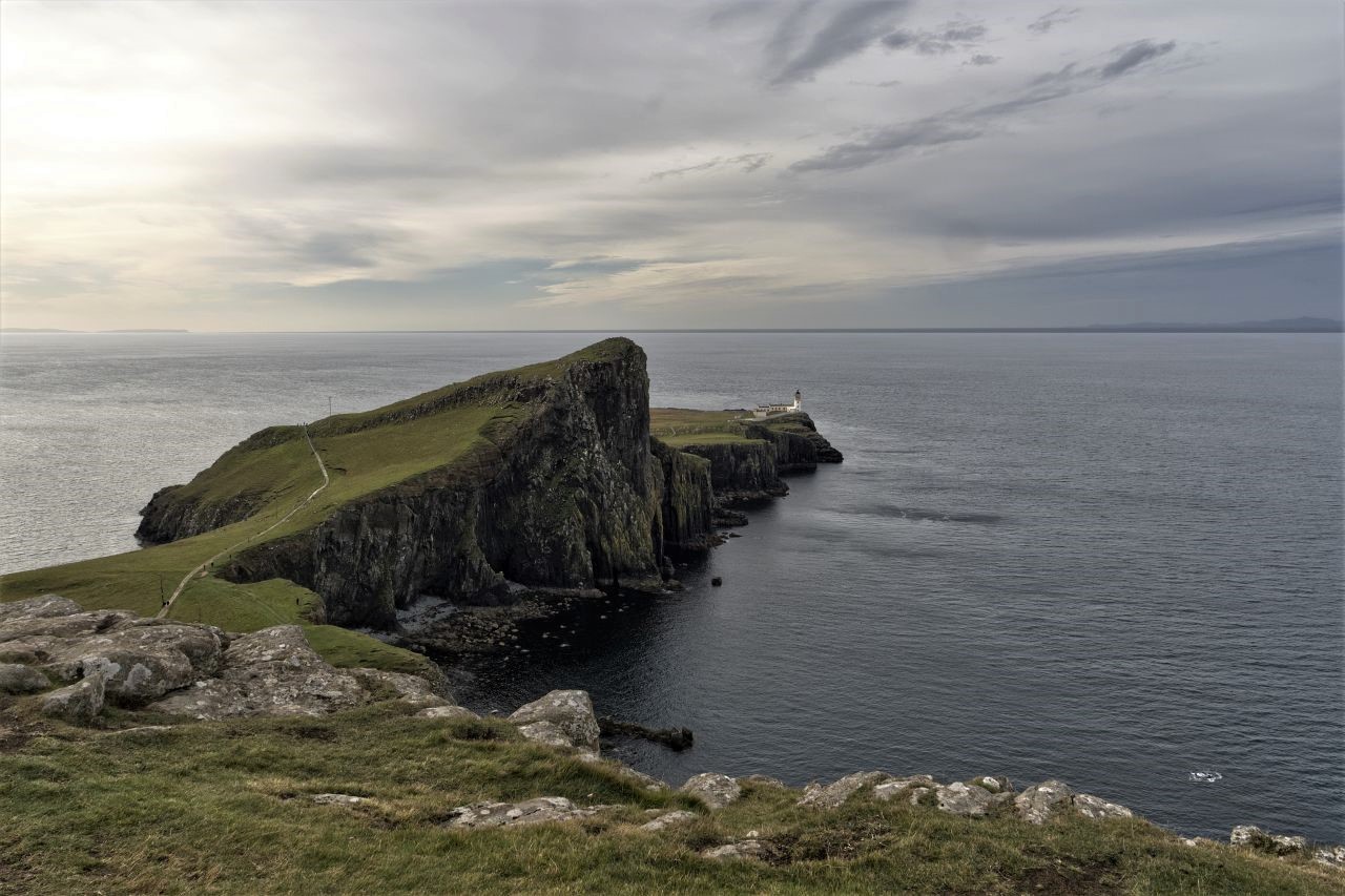
Neist Point with Skye and the Outer Hebrides
Over the past decade, the Skye tourist industry has done a remarkable job of ‘selling’ the island to visitors travelling from the rest of the UK, Europe and beyond, but has failed spectacularly in providing simple facilities such as car parking space or toilets. The result is often overcrowding, especially in the summer months.
Neist Point and part of the Duirinish Peninsula
The answer is simple, go off-season before the rush, but that concept is becoming steadily more challenging. I guessed that late September should be a reasonably quiet time to visit, but that depends on your idea of quiet! It was bearable, but I wouldn’t like to see it in high summer – come to think of it, in high summer it’s unlikely that you would even be able to get down the road to Neist Point.

Early evening sun on the cliffs of Moonen Bay

A popular spot! It looks like others have had the same idea
We arrived at Neist just as the light was turning golden, and it looked as though a spectacular sunset was going to be on the menu. We found a level spot to park the van, so that was us set up for the night – travelling by camper has many advantages, including our own on-board facilities, so after our evening meal and a couple of scoops of ‘red’, we were ready for the light show.
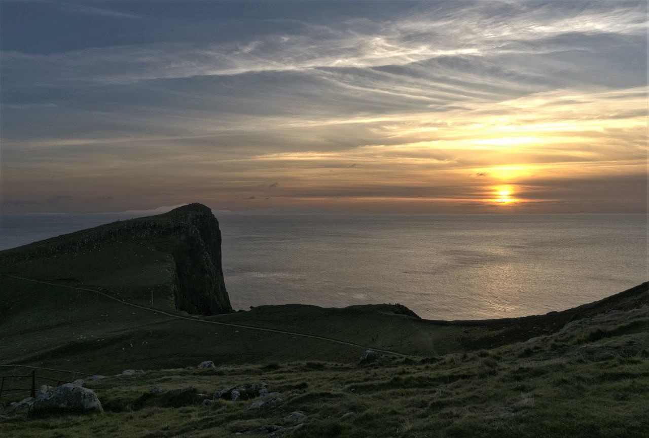
Sunset approaching over the small hill of An t-Aigeach

Closer view of An t-Aigeach – note the tiny figures watching the sunset from the summit

More sunset watchers near the car park

An t-Aigeach still popular as the light fades
Ah yes, the light show – whilst we were eating, a thin layer of cloud had crept across the sky, so it looked as though a spectacular sunset was off for tonight. No problem really, especially for photographs – the light was still interesting, as was the people-watching potential.

The sun setting over the Outer Hebrides ….
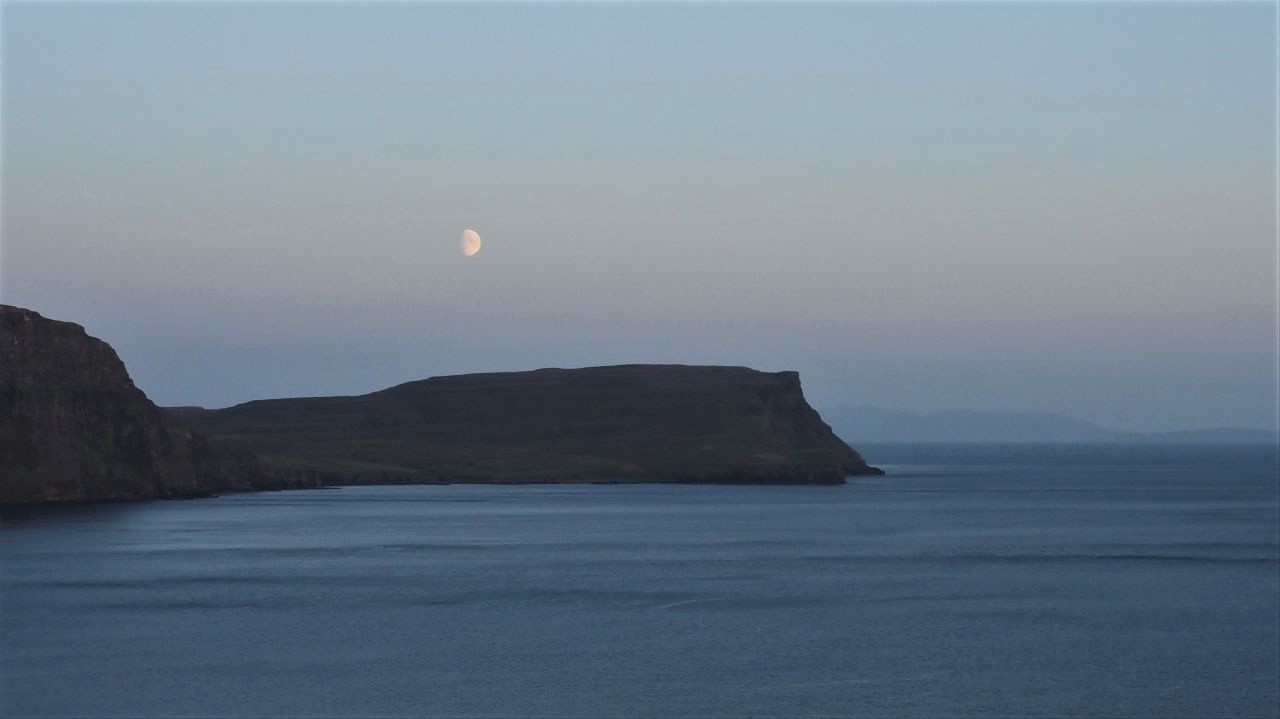
…. as the moon rises over Moonen Bay

A sole observer of the moonrise
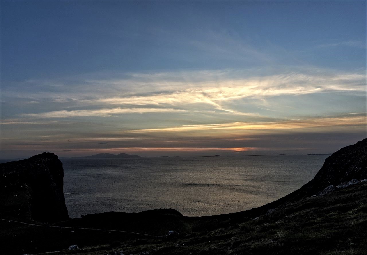
The sun finally sets ….
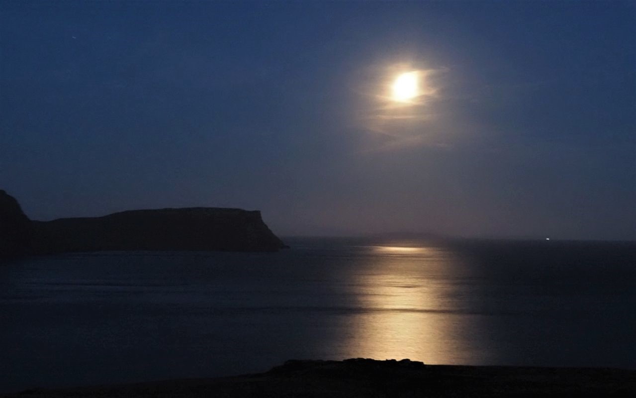
…. but the moon gets brighter (The tiny light on the horizon to the right of the photo is a ship)
The crowds were spread out along the cliff tops near the car park, along with another sizable group on the small summit of An t-Aigeach, all 95 metres (312 ft) of it. In the meantime, a second light show was starting up, as the moon rose over Moonen Bay to the south. All in all, it had been worth the trip, and I’ll be back – apparently, the wildlife spotting potential is huge, and includes dolphins, whales and sea birds.

An t-Aigeach and Neist Point the next day on a dull morning
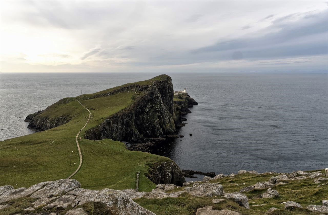
The path leading down to the lighthouse
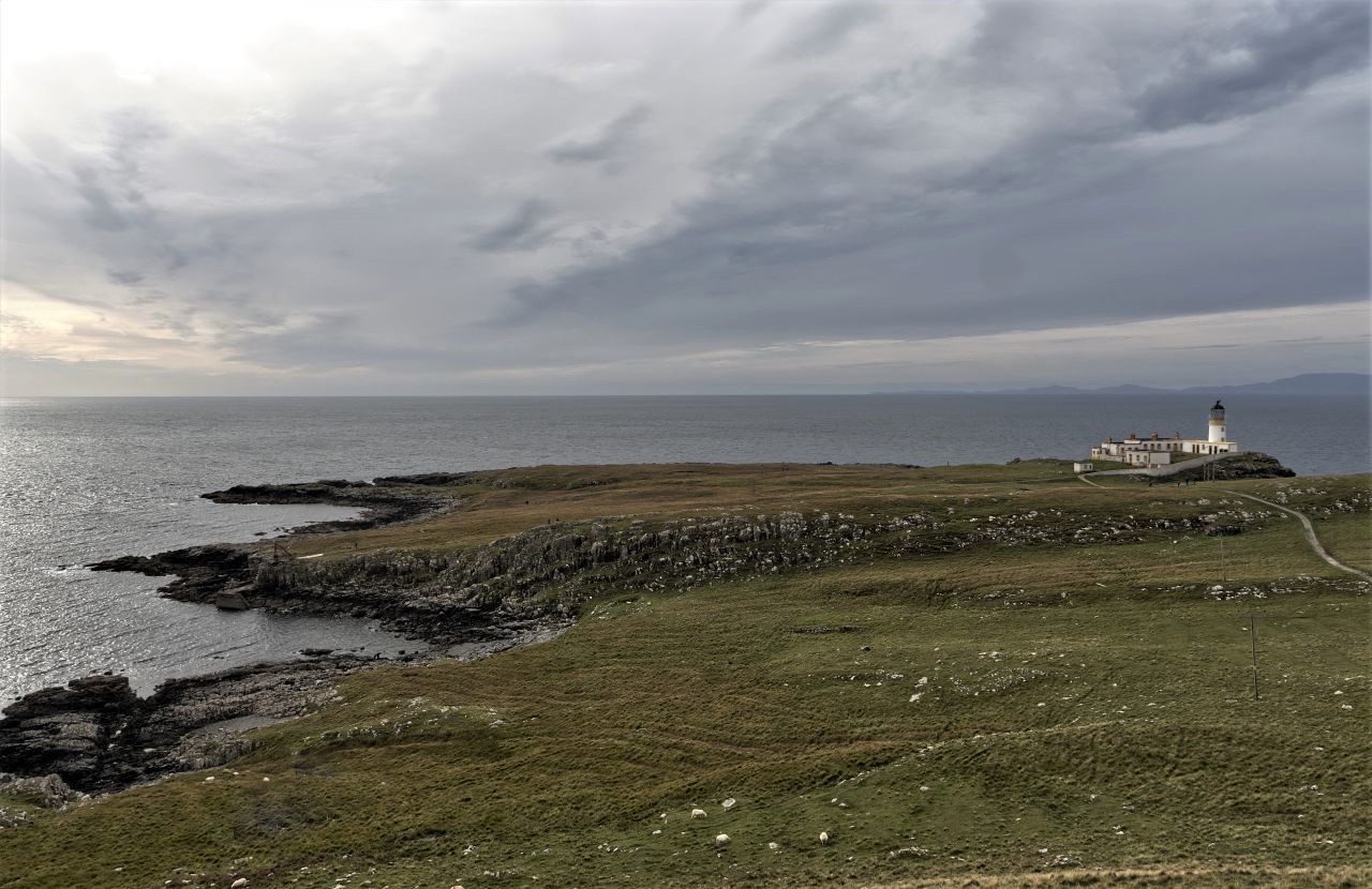
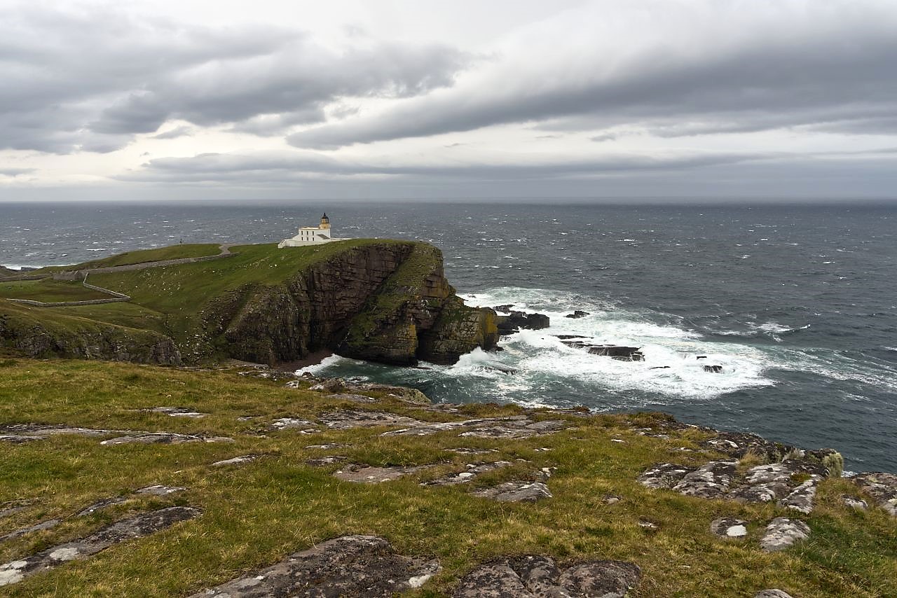
Neist Point Lighthouse ….
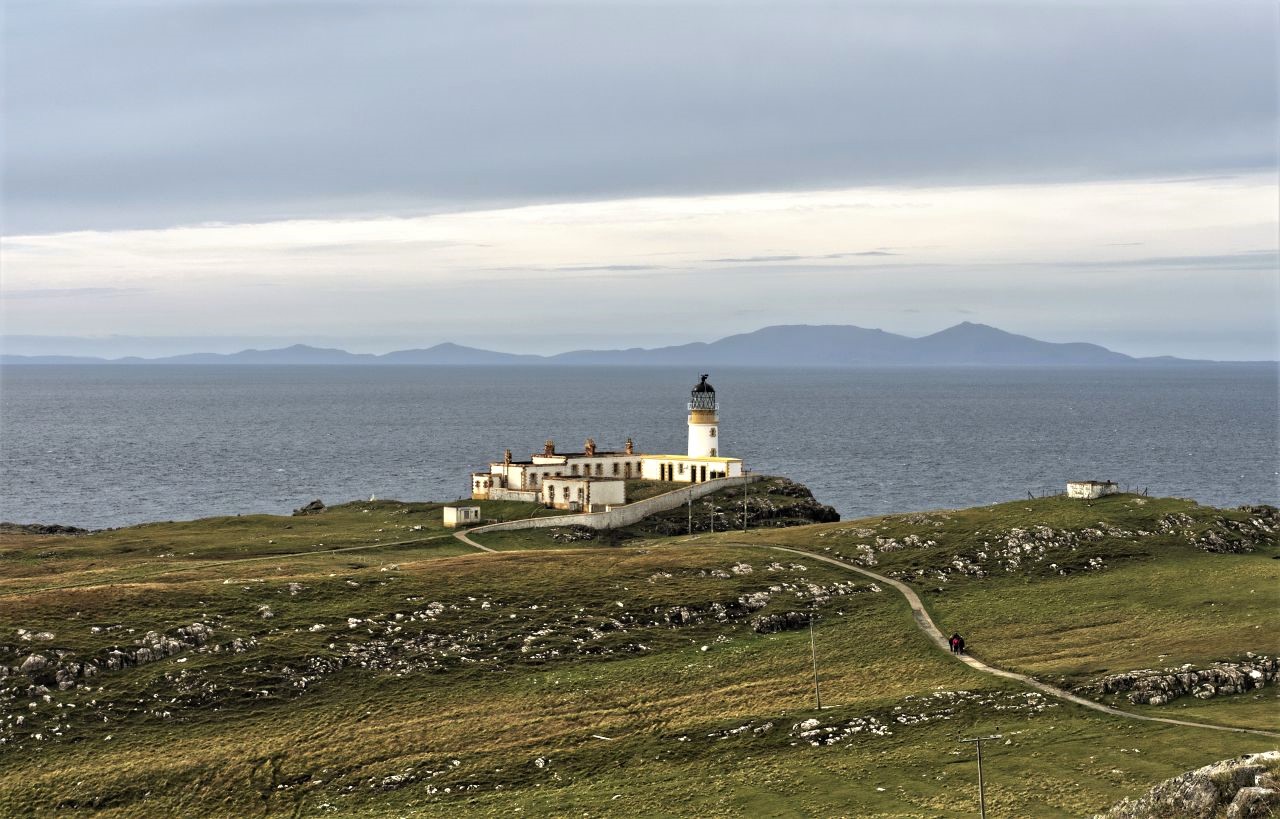
…. with The Little Minch and the Outer Hebrides beyond
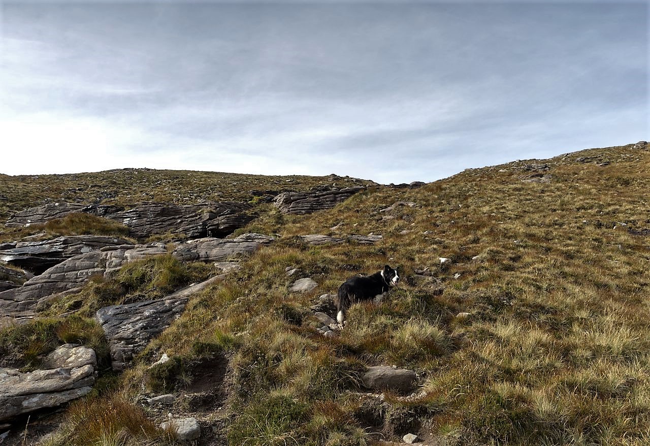
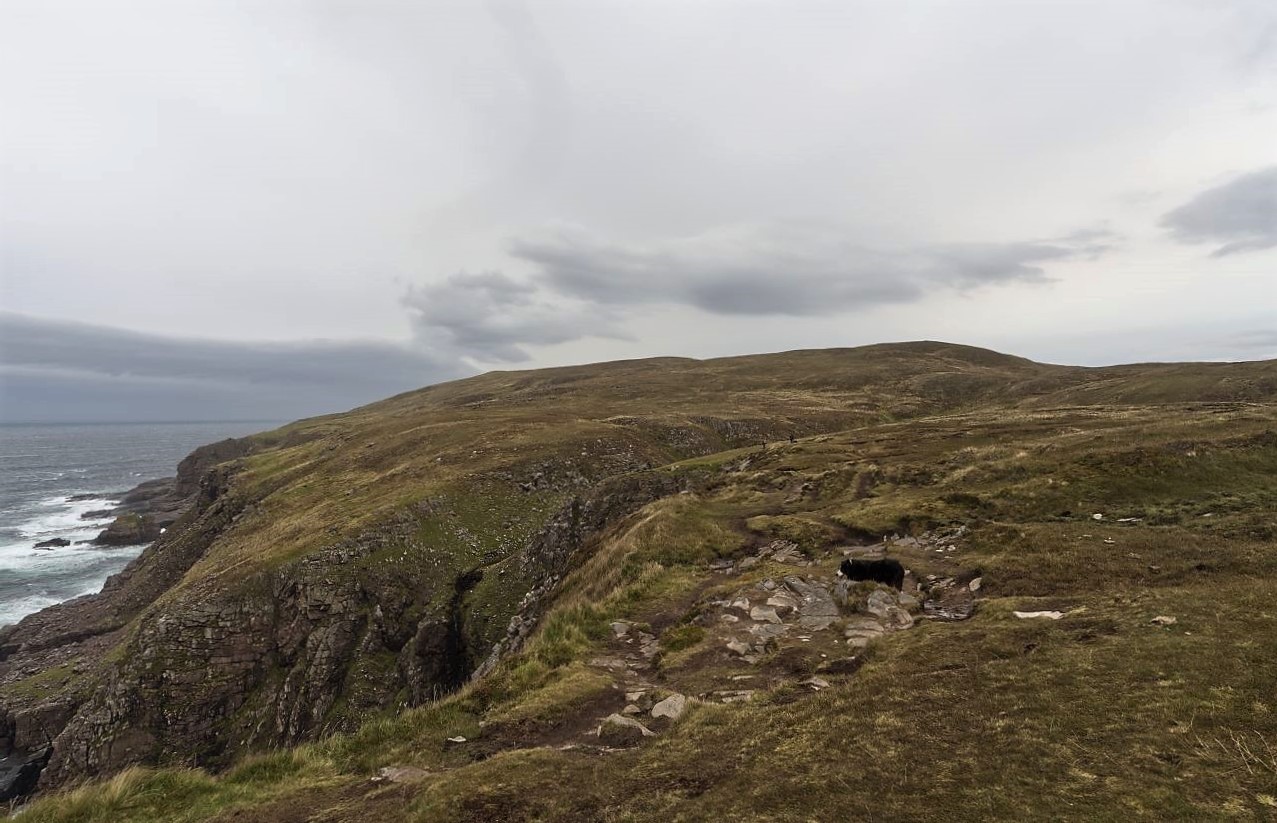
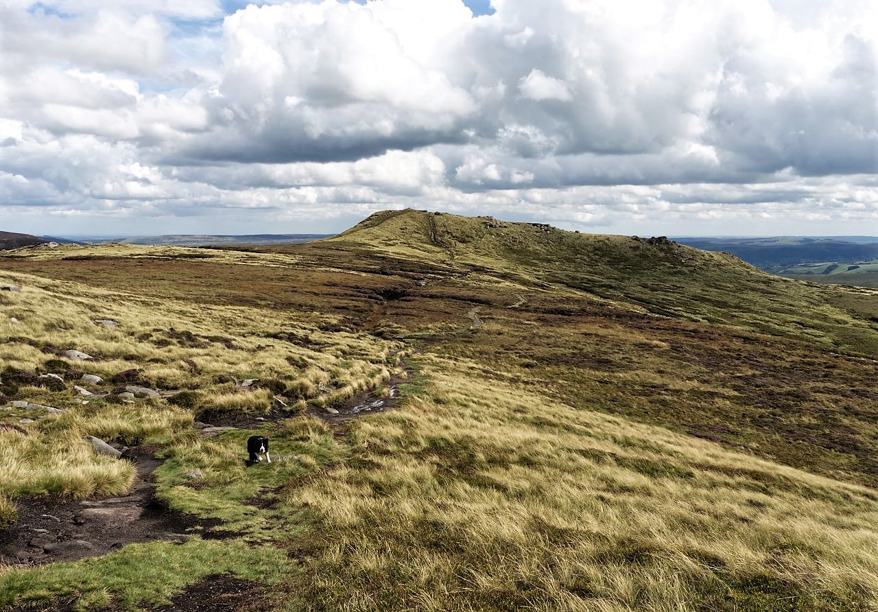
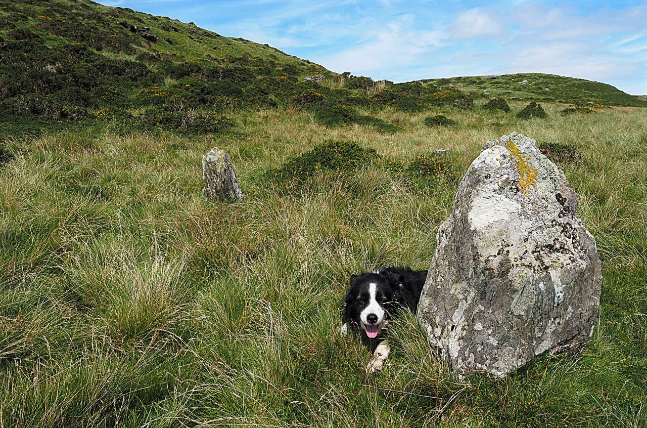
The skies were still on the dull side next morning, but that’s no problem to a Border Collie who is ready for a good walk, so ‘Mist’ took Chris and me on a stroll along the sea cliffs to the north. It turned out to be a muddy excursion, so we turned back after a couple of kilometres and went down to take a look at the lighthouse at the tip of Neist Point.
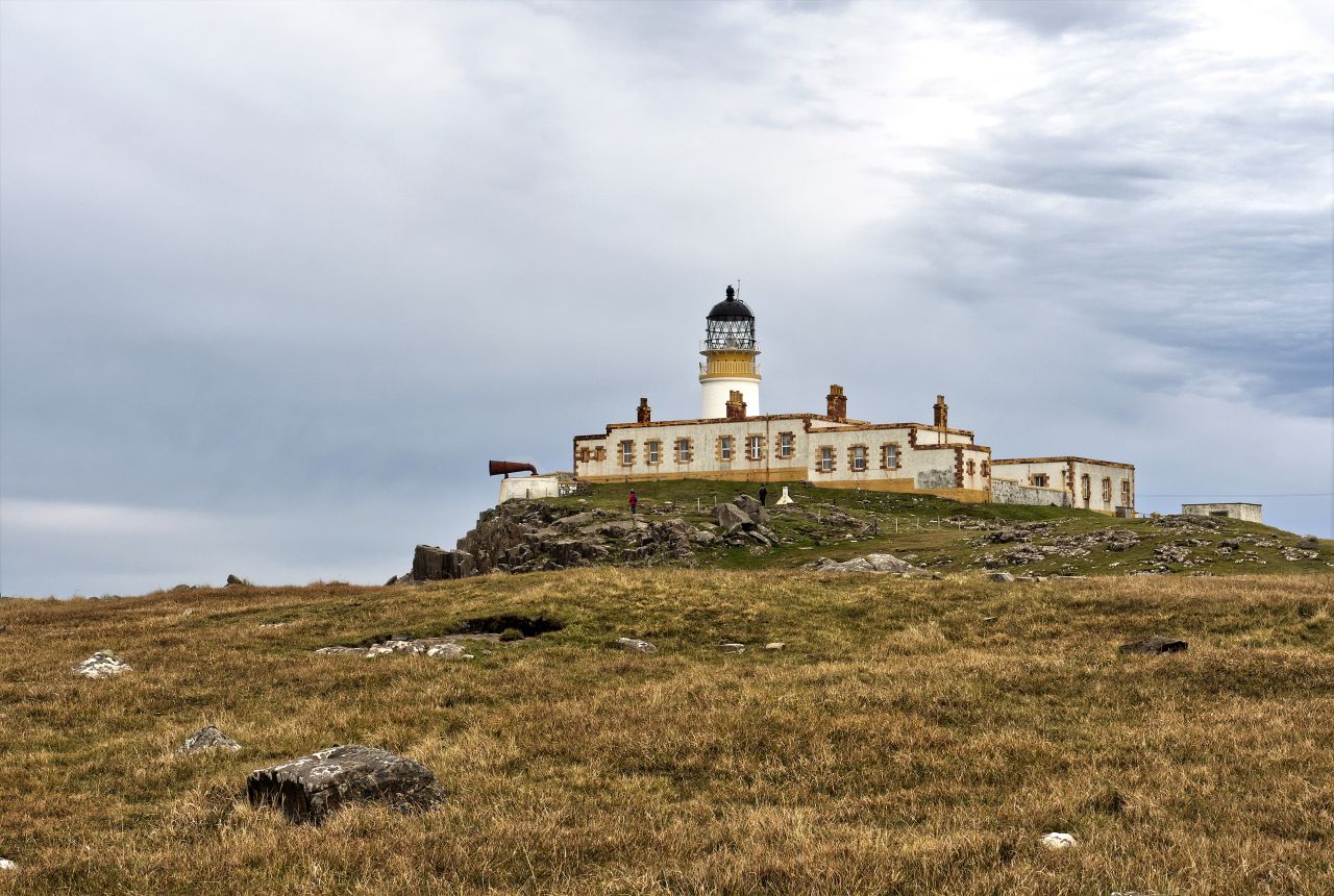
Closer view of the lighthouse
The lighthouse was built in 1909 and was fully automated in 1990. In recent times it was also used as holiday accommodation but is now abandoned and slowly becoming more derelict in appearance. A more recent addition to the Point is a ‘stone balancing’ collection – it’s easy to see why people feel compelled to add another stone pile, but I sometimes wonder who started the first one. It won’t be the locals – apparently, they are not at all keen on the little rock towers.
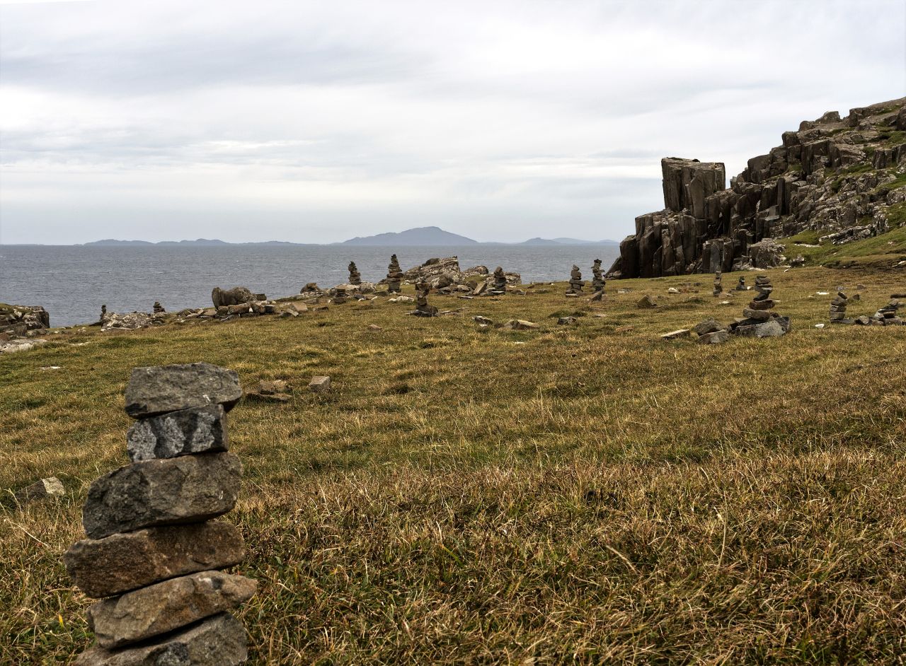
The inevitable collection of balanced stones
Text and images © Paul Shorrock